
Current River Trail
About Current River Challenge the Park Service's write-up
dogs allowed
Note: The Current River Challenge is currently suspended due to major renovations at Current River State Park. Find more details about the closure here .
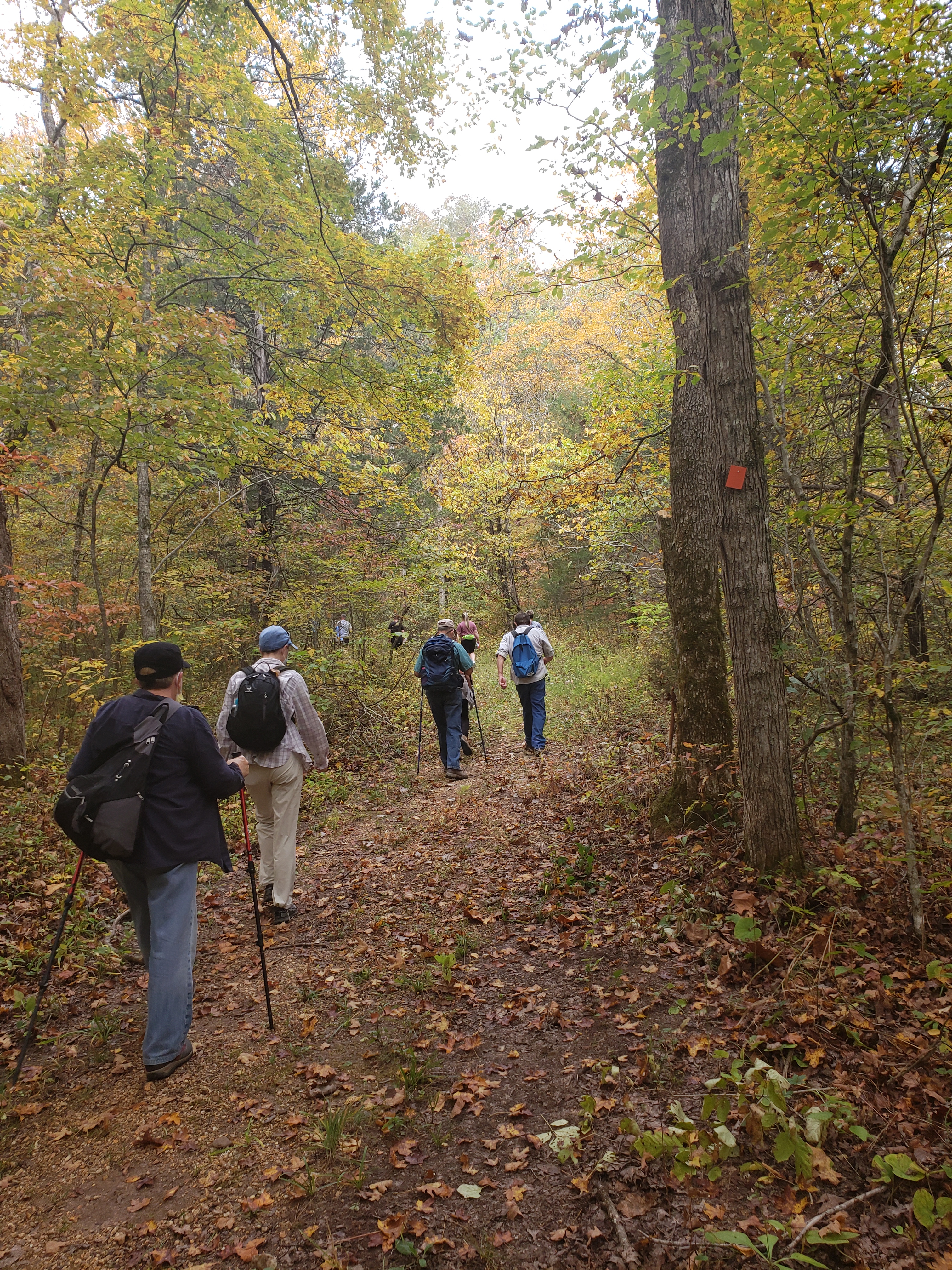
The Current River Challenge is a unique hike-float opportunity that visitors can enjoy at any time. Ozark National Scenic Riverways and Missouri State Parks partnered to promote hiking and floating between Round Spring, Echo Bluff State Park and Current River State Park in celebration of the recently completed trails in the area. The challenge consists of a "4 mile" hike from Round Spring to Echo Bluff State Park, another "4 mile" hike from Echo Bluff State Park to Current River State Park, and a "4 mile" float from Current River State Park to Round Spring. The float is solely the responsibility of the participant to arrange a shuttle and/or vessel rental. The challenge can be done in any order and at anytime of the year. The challenge can be done at any time and we encourage participants to not try to complete the challenge all in one outing. Participants can pick up their challenge cards at Round Spring Ranger Station or Echo Bluff State Park and collect stamps at each location at the end of that leg.
Accessibility The trails are rugged, uneven terrain and loose gravel surfaces makes them inaccessible to wheelchairs.