0.4 mi of trail, end to end · Blue Spring Trail: 1 mi round trip in the Service's write-up · about 20 ft of climbing · 560 ft–582 ft
Blue Spring Trail 1 mi round trip · the Park Service's write-up
dogs allowed
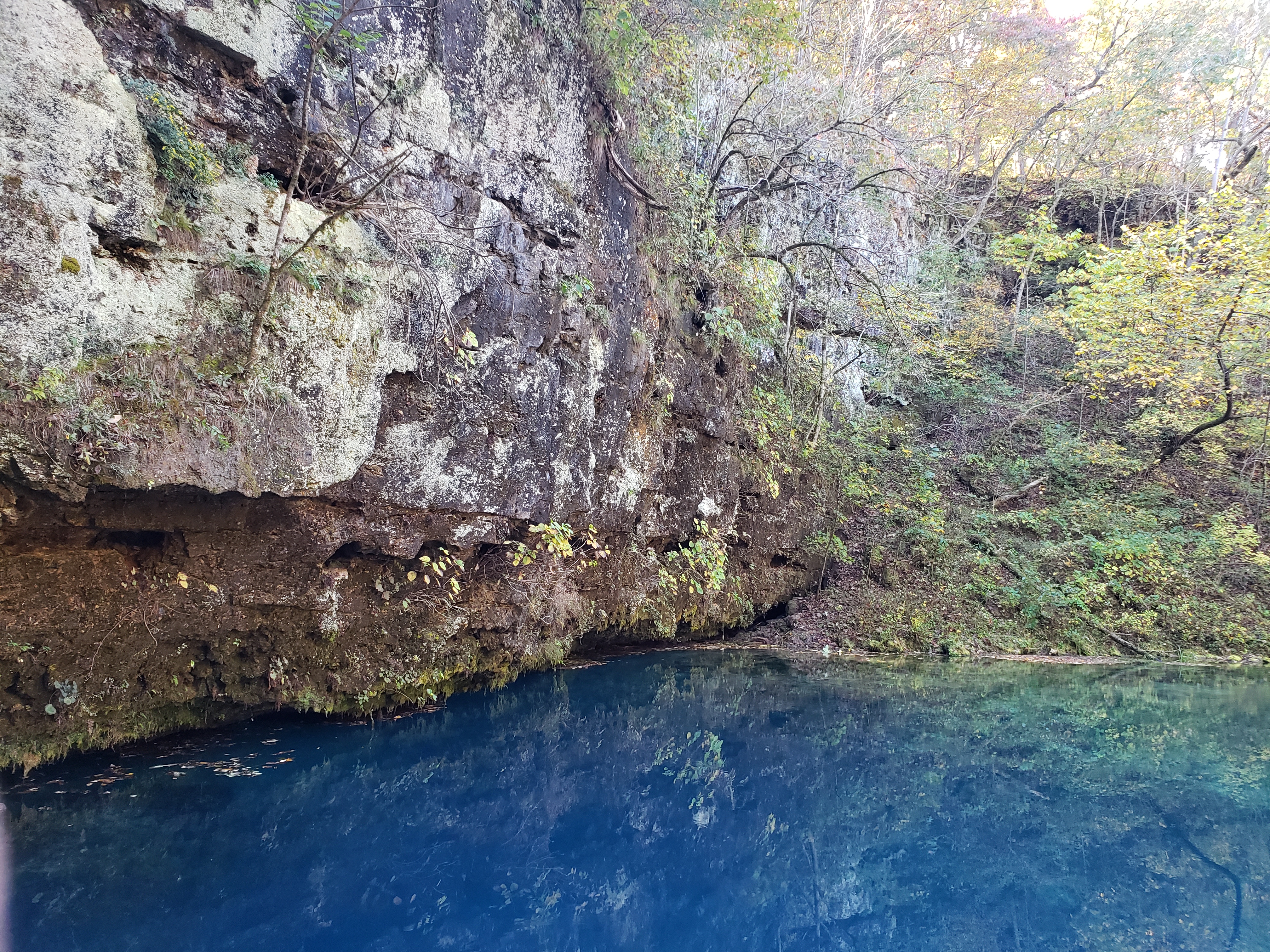
Blue Spring will never disappoint in its beauty. Photo: NPS Photo
1 mile round trip. This easy to moderate hike may be accessed at Powder Mill or from the picnic area at the Blue Spring Trailhead & Picnic Area. The trail skirts the bottomland riparian forest along the Current River between Powder Mill and the Blue Spring State Natural Area--- where the trail parallels the spring branch out to Blue Spring . As the name of this spring indicates---Blue Spring is deemed the "bluest" spring in Missouri and at a depth of around 300 feet---it is Missouri's deepest.
Accessibility Uneven trail surfaces and steep inclines make this trail inaccessible to wheelchairs.
The lines are the National Park Service's public trails layer, the trailheads and the waterfalls, views, peaks and historic places along them the Service's public points of interest, read 2026-10-16 and simplified for the map; the length is the line's, end to end. The write-ups are the Service's own "things to do" text, unedited. Heights come from USGS 3DEP through Terrain Tiles on AWS (Mapzen/Tilezen), read along each line and rounded; a short trail on steep ground can be off by a few tens of feet. Closures change: check the park's own site before you go.