Farm Paths
Visitor centers
Along the way Oxon Cove Park & Oxon Hill Farm Visitor Center

Park · Maryland
6 named trails · 4 miles · 1 with the Park Service's own write-up. The lines, trailheads and points are the Park Service's; the write-ups are the Service's own words; the climbing is read from USGS elevation along each line.
6 trails, A to Z.
Visitor centers
Along the way Oxon Cove Park & Oxon Hill Farm Visitor Center
30-120 Minutes · dogs allowed
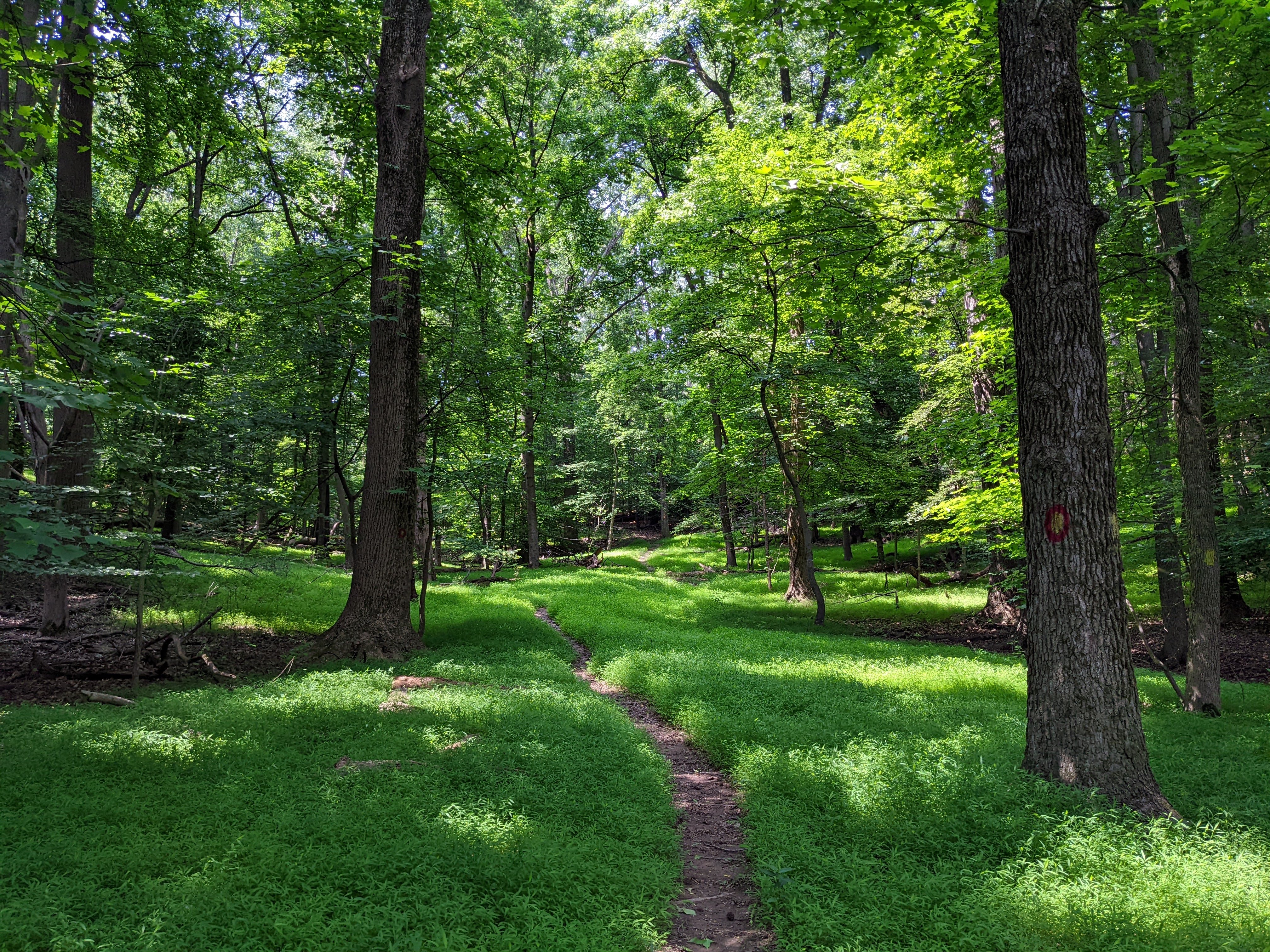
Hike one of the trails at Oxon Cove Park and see varied ecosystems and diverse plant and animal life. The 1.5 mile Oxon Cove Hiker-Biker Trail is a part of the Potomac Heritage National Scenic Trail and connects to trails outside park boundaries. The half mile Woodlot Trail travels through the forest along a deep ravine and is great for beginners.
Grab a trail map from the Visitor Center or download the NPS App before beginning your hike.
Accessibility The 1.5 mile Hiker-Biker trail is mostly paved with occassional potholes. It has an elevation gain/loss of 190 ft and a maximum grade of 11%. The 0.5 mile Woodlot trail is a natural surface and the trail is no more than 2 feet wide. It has an elevation gain/loss of 137 ft and a maximum grade of 13%
Visitor centers
Along the way Oxon Cove Park & Oxon Hill Farm Visitor Center
6 more mapped segments without a name are on the map, not in the list.
The lines are the National Park Service's public trails layer, the trailheads and the waterfalls, views, peaks and historic places along them the Service's public points of interest, read 2026-10-14 and simplified for the map. The write-ups are the Service's own "things to do", unedited. Heights come from USGS 3DEP through Terrain Tiles on AWS (Mapzen/Tilezen), read along each line and rounded; a short trail on steep ground can be off by a few tens of feet. Closures change: check the park's own site before you go.