
Visitor Center Nature Trail
Visitor centers
Along the way Kris Eggle
See Endangered Pupfish Along the Visitor Center Nature Trail the Park Service's write-up
15-30 Minutes · dogs allowed
Start Visitor Center Nature Trail
Distance: 0.1 mile (0.2 kilometers)
Difficulty: Easy
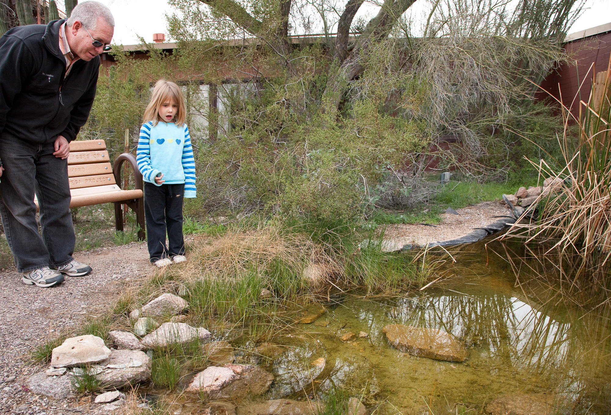
Next to the Kris Eggle Visitor Center is a 1/10 th of a mile paved nature trail that loops by a small pond and showcases native Sonoran Desert plant life. The trail begins by the parking lot and loops around to the back of the visitor center.
Pets are allowed on this trail.
A Refuge for Endangered Quitobaquito Pupfish
The visitor center pond, affectionately known as “La Ciénaga" or "desert oasis," is home to the endangered Quitobaquito pupfish. This small fish is only found in Quitobaquito Springs , in the southwest corner of the monument, and in the Rio Sonoyta, a small Mexican river drainage directly south of the international border. Since this unique fish naturally exists in only one location within the United States, a second habitat was created and set aside as a refuge for this endangered species. This pond was designed and built in 2005 by 160 science students from Ajo Middle School.
Accessibility The Visitor Center Nature trail is a flat, paved trail that is 3 feet in width and accessible by wheelchair. Trail is 1/10th of a mile (0.16 kilometers) long.