
Victoria Mine Trail
Hike to Lost Cabin 3.6 mi round trip · the Park Service's write-up
4-5 Hours · no dogs · entrance fee applies · season While Lost Cabin trail can be experienced all year round, please be aware that summer and fall temperatures can reach upwards of 110 degrees Fahrenheit. Please plan your activities accordingly and practice desert safety.
Start Victoria Mine/Lost Cabin Trailhead
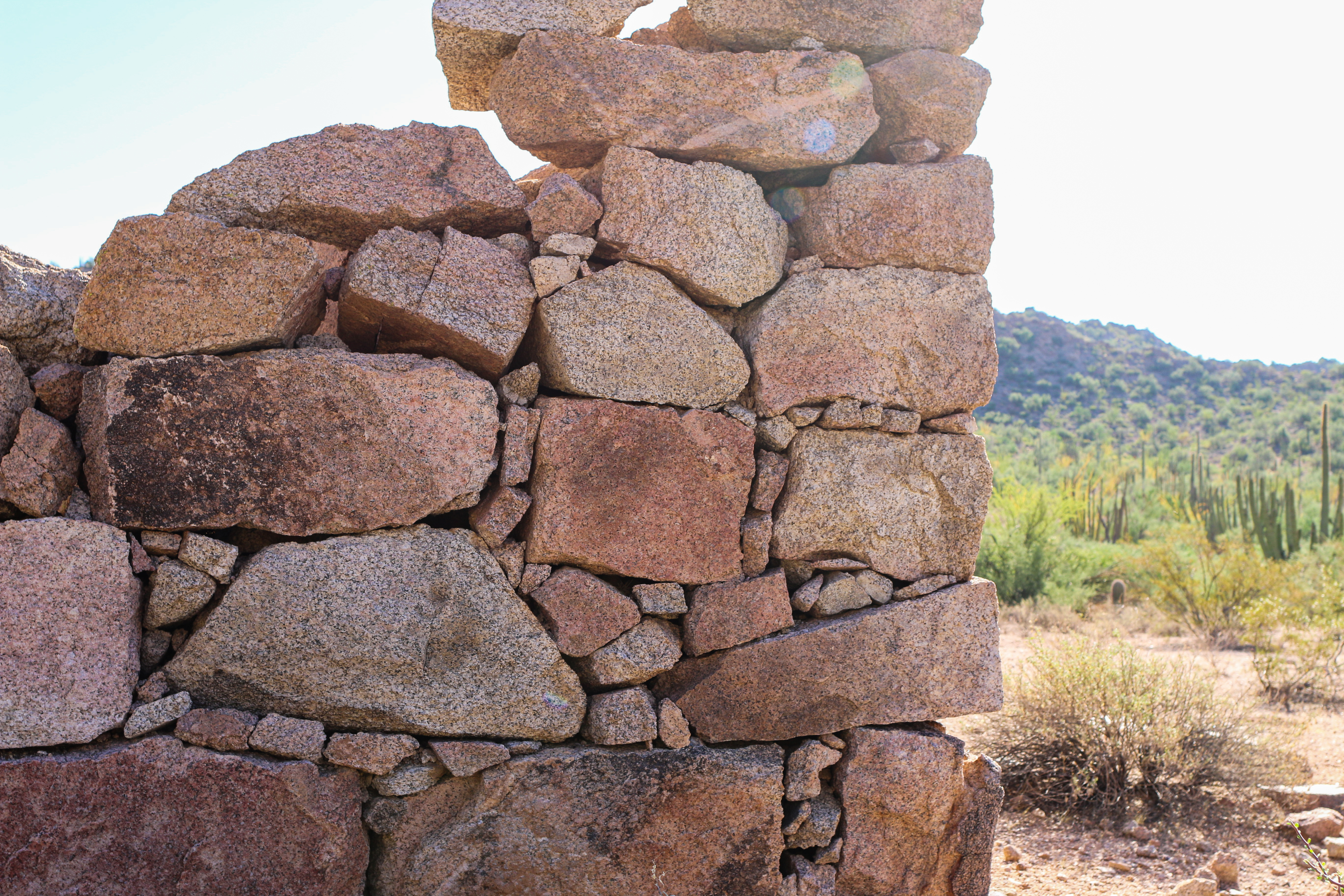
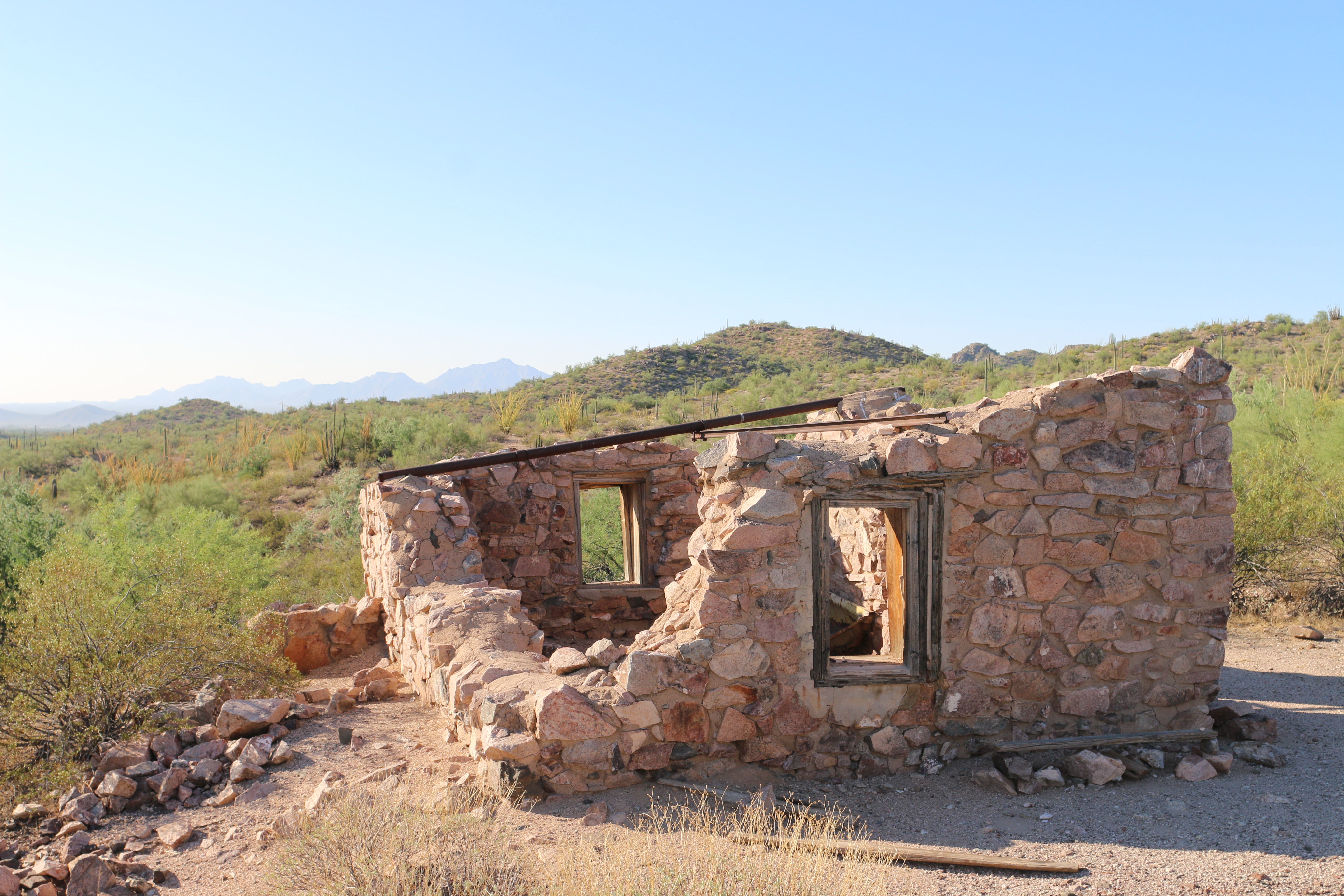
Looking for a lengthier hike that showcases Organ Pipe’s mining history and the beautiful Puerto Blanco mountains? This 8 mile (12.9 kilometers) round-trip hike includes the Victoria Mine site and an old stone mining house known as Lost Cabin. Victoria Mine is one of the oldest prospecting sites in southwestern Arizona, and at the site visitors can view mine shafts, the remains of the store building, tailings, and other artifacts on this once robust silver and gold operation. The additional 3.6 miles (round-trip) will bring visitors to Lost Cabin, another silver mine tucked away in the Puerto Blanco mountains. The site features the remains of a stone mining house that served the mines viewable in the hills above.
How to get there
The Victoria Mine/Lost Cabin trail starts at the southwestern end of Twin Peaks Campground , where there is a small parking area and trailhead information. The trail to Victoria Mine is easy to moderate and is generally flat, but does include some ups and downs crossing arroyos (washes). Victoria Mine is 2.2 miles (3.5 km) from the trailhead. Continue past Victoria Mine for 1.8 miles (2.9 km) to reach Lost Cabin. The trail to Lost Cabin is primitive and climbs over a small hill, but provides great views of the Sonoyta mountains to the south. All mine shafts are closed and fenced off. For your safety do not enter the mine.
Total Distance: 8 miles (12.9 km) round-trip
Time: 4.5 hours round-trip
Difficulty: Moderate
Pets While pets are not allowed on this trail, service animals are allowed.
Accessibility Trail terrain is uneven, rocky, and steep in some sections. Hikers of many different abilities have hiked this route in the past. If you are curious about accessibility for your needs please contact the park. While pets are not allowed on this trail, service animals are allowed.
Hike to Victoria Mine 4.4 mi round trip · the Park Service's write-up
3-4 Hours · no dogs · entrance fee applies · season While this trail can be experienced all year round, please be aware that summer and fall temperatures can reach upwards of 110 degrees Fahrenheit. Please plan your activities accordingly and practice desert safety.
Start Victoria Mine/Lost Cabin Trailhead
Experience Organ Pipe’s mining history by hiking to Victoria Mine, one of the oldest gold and silver prospecting sites in southwest Arizona. An easy/moderate hike will take you to the Victoria Mine site, where you can view mine shafts, the remains of the store building, tailings, and other artifacts of this once robust operation.
How to get there
The Victoria Mine trail starts at the southwestern end of Twin Peaks Campground , where there is a small parking area and trailhead information. The trail to Victoria Mine is easy to moderate and is generally flat, but does include some ups and downs crossing arroyos (washes). Victoria Mine is 2.2 miles (3.5 km) from the trailhead. All mine shafts are closed and fenced off. For your safety do not enter the mine.
Distance: 4.4 miles (7.1 km) round-trip
Time: 3 - 4 hours round trip
Difficulty: Easy-Moderate
History of Victoria Mine
The history of the initial establishment of Victoria Mine is unknown, but it rose to prominence when Cipriano Ortega, a notorious businessman in Mexico, acquired the mine in 1880. Under Ortega, the mine was known as “La Americana,” and brought in about $80,000 worth of silver ore. Ortega carried an unsavory reputation, and some accounts say he was a ruthless gunman and had killed several men. In 1899, Mikul G. Levy, an American businessman who operated several mines in Ajo and Sonora, purchased the mine. He also operated several general stores, including one in Ajo and one at Quitobaquito. He renamed the mine “La Victoria” in honor of Victoria Leon, the wife of Levy’s storekeeper, Jose Leon.
During his ownership, they only extracted another $40,000 of silver ore, partially because of the high-water table of the area and the resulting technical problems. Peak mining activity occurred between the 1890s and 1910s, though sporadic mining efforts took place until 1976 under special use permits from the National Park Service. When Organ Pipe Cactus National Monument was designated a wilderness area in 1976, mining ceased.
Pets While pets are not allowed on this trail, service animals are allowed.
Accessibility Trail terrain is uneven, rocky, and steep in some sections. Hikers of many different abilities have hiked this route in the past. If you are curious about accessibility for your needs please contact the park. While pets are not allowed on this trail, service animals are allowed.