
Dripping Springs Mine Trail
Unearth Dripping Springs Mine 2.8 mi round trip · the Park Service's write-up
2-3 Hours · dogs allowed · entrance fee applies · reservation required
Start Dripping Springs Mine
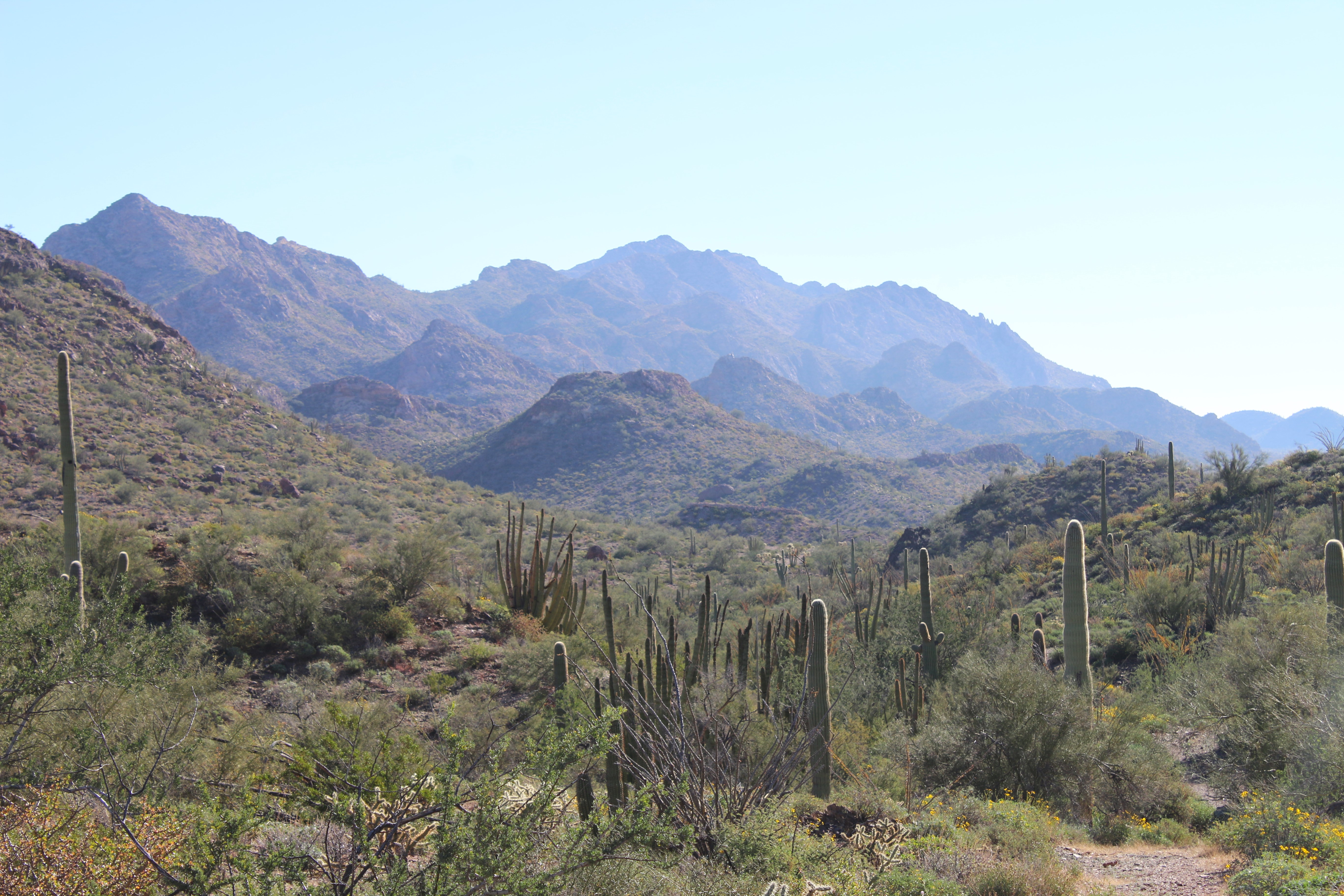
Wind your way through the Puerto Blanco mountains to discover an old copper mine!
The Dripping Springs Mine Trail follows a historic mining road 1.4 miles to its end. The mine may be spotted directly west of the end of the road and is accessible after crossing a deep wash. The road is scenic is provides beautiful views of the Sonoran Desert landscape: majestic volcanic mountains of purple rhyolite and black basalt, large saguaro forests and organ pipe cacti are found along this trail as it meanders between the mountain basins.
This beautiful area of the monument is rarely visited and is a great place to enjoy having the trail to yourself out in the desert wilderness.
Distance: 2.8 mile (4.5 km) roundtrip
Difficulty : Moderate
Elevation change : 50 feet (30.5 m)
Accessibility The trail is dirt but passes through small washes requiring a bit of climbing down larger rocks. The trail ends and a steep ~15 foot wash must be crossed to get to the mine. If you are curious about accessibility for your needs please contact the park.