
County Road Trail
Hike the Historic Old County Road! 8 mi one way · the Park Service's write-up
3-5 Hours · no dogs · entrance fee applies · reservation required
Start Old Country Road
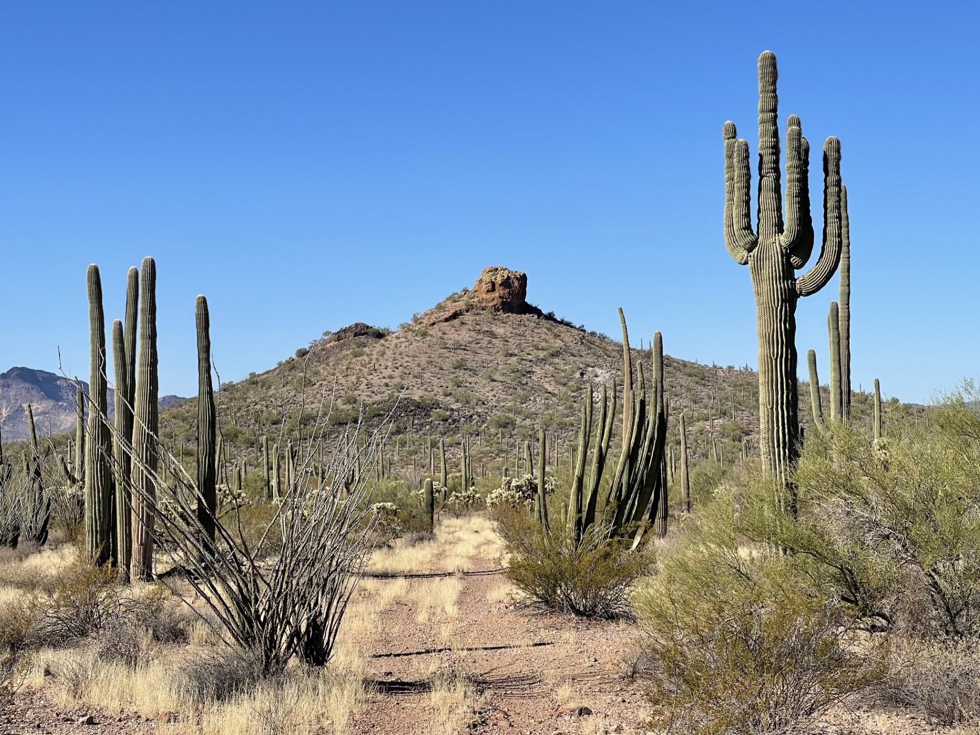
Enjoy scenic views as you explore an old wagon road through the Sonoran Desert! The Old Country Road Trail (also known as Old Sonoyta Trail) stretches 8 miles in between Alamo Canyon Road and Ajo Mountain Drive. This old trail used to stretch from Ajo area to the town of Sonoyta in Mexico. The majority of this road eventually became what is now Arizona Highway 85, but this peaceful section of the historic road remains for visitors to enjoy! The trail meanders along the eastern side of the monument, with wonderful views of Tillotson Peak and the Mt. Ajo. A cristate saguaro cactus may be seen along the trail, 1 mile from the southern trailhead on Ajo Mountain Drive.
This trail is 8 miles one way and makes a great day hike; having two cars stationed at both ends of the road is recommended. The trail is relatively flat but crosses several washes. It’s both a great trail for hiking and running, and is wonderful if wanting some precious alone time in the wilderness.
Distance: 8 miles (12.8 km) one way
Difficulty : Strenuous
Elevation change : <100 feet (30.5 m)
Accessibility The trail is a relatively flat dirt and gravel trail that dips across several rocky washes. Vegetation growth may make the trail narrow in some areas.