
Campground Perimeter Trail
Stretch Your Legs on the Campground Perimeter Trail the Park Service's write-up
30 Minutes · dogs allowed · entrance fee applies
Start Twin Peaks Campground
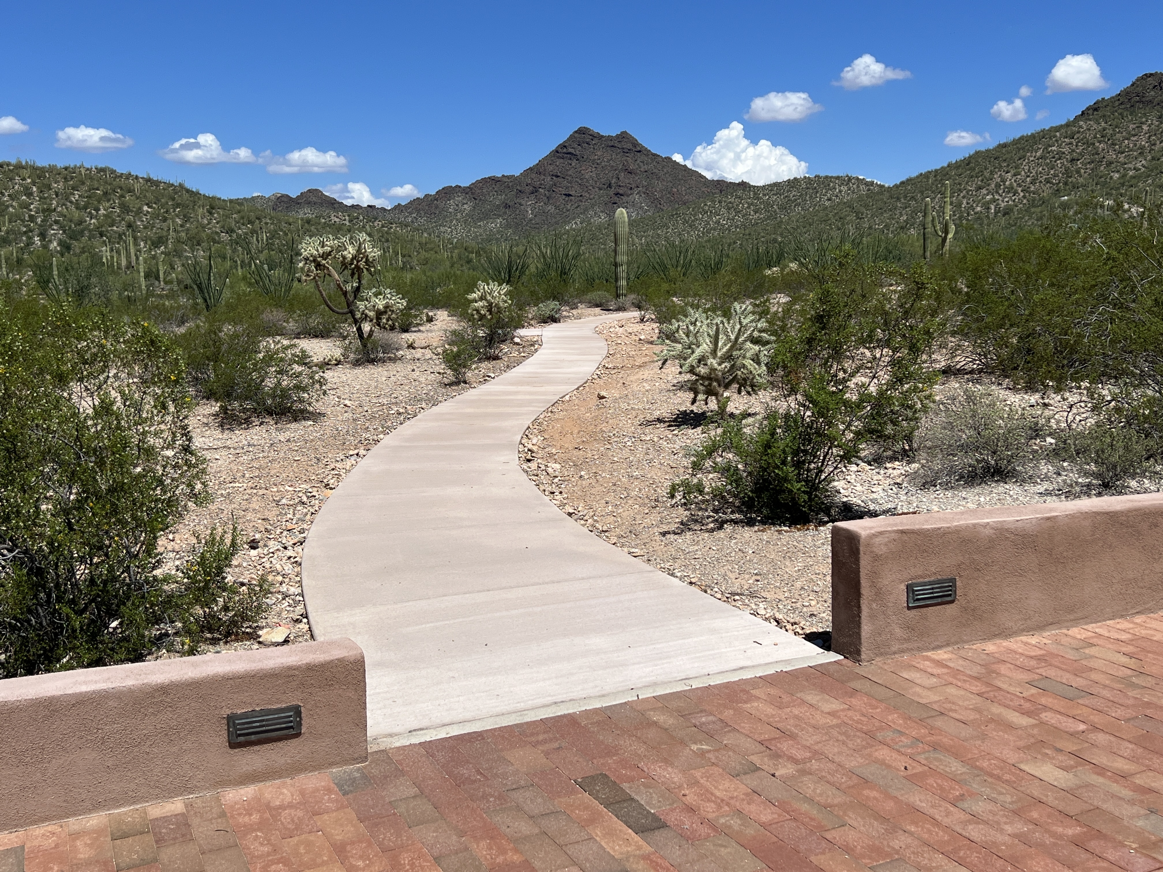
Want to take a short walk to stretch your legs or just want to enjoy scenic desert landscapes just off the highway? The Campground Perimeter Trail is a 1-mile dirt trail that is flat and a great place to spot lots of organ pipe cacti and other beautiful desert plants as you meander towards scenic views to the south and east. This dog-friendly trail circles the perimeter of Twin Peaks Campground and connects to the Palo Verde (also dog-friendly!) and Victoria Mine trails. The western side of the trail is ADA accessible from the initial turn-in to the campground to the campground amphitheater, about a 1 /4 mile.
How to Get There
The Campground Perimeter Trail circles the perimeter of Twin Peaks Campground . Turn right from the Kris Eggle Visitor Center and then take the first left, following the sign for Twin Peaks Campground. Pass by the ranger kiosk and follow the campground loop to the back. There is a small parking area at the southwestern side of the campground at the trailhead for Victoria Mine. The trail can be started any point along trail.
Total Distance: 1 mile (1.6 kilometers) round-trip
Difficulty: easy
Accessibility This dog-friendly trail circles the perimeter of Twin Peaks Campground and connects to the Palo Verde (also dog-friendly!) and Victoria Mine trails. The western side of the trail is ADA accessible from the initial turn-in to the campground to the campground amphitheater, about a 1 /4 mile. This section is paved and flat, with benches in areas to enjoy.