
Bull Pasture Trail
Picnic areas
Along the way Estes Canyon
Hike the Estes Canyon/Bull Pasture Loop 3.6 mi round trip · the Park Service's write-up
1-3 Hours · no dogs · entrance fee applies · Winter, Spring, Fall · season While the Estes Canyon/Bull Pasture can be experienced all year round, please be aware that summer and fall temperatures can reach upwards of 110 degrees Fahrenheit. Please plan your activities accordingly and practice desert safety.
Start Estes Canyon/Bull Pasture Trailhead
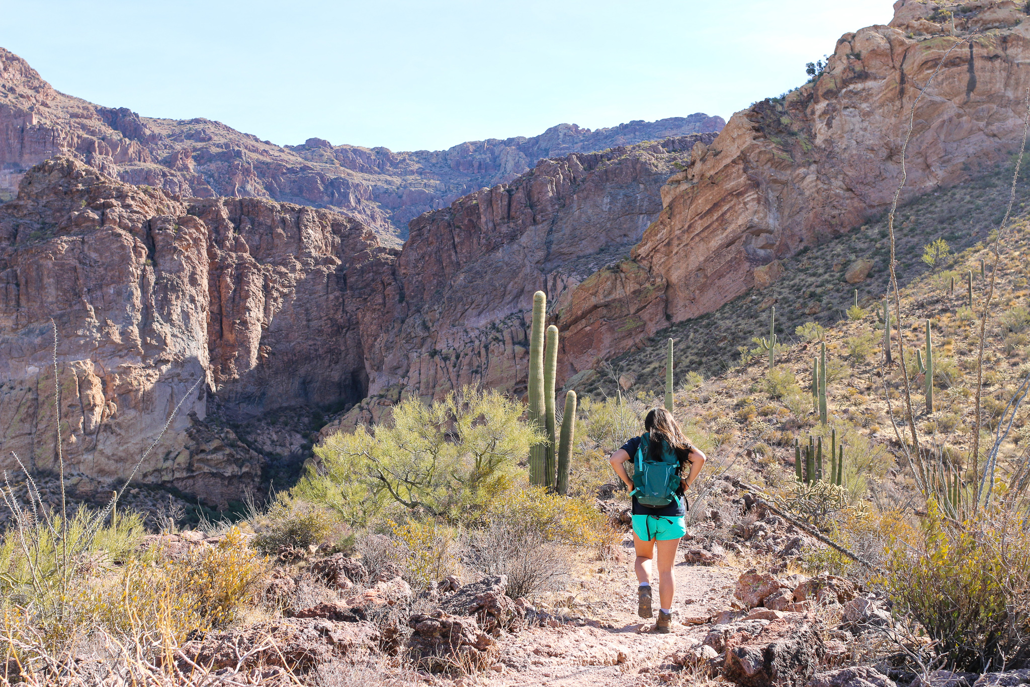
The Estes Canyon Trail provides ample opportunities to hear and view the birds, wildlife and wildflowers of Organ Pipe Cactus National Monument. Climb into the Ajo Mountains using the Bull Pasture Trail and be rewarded with spectacular views of the Sonoran Desert.
This moderate loop trail leads clockwise into Estes Canyon and then climbs onto a ridge. It returns down through the foothills back to the parking area. Halfway around the loop, a short, strenuous spur trail climbs to Bull Pasture, where ranchers would pasture their cattle. From the Bull Pasture Viewpoint, hikers have a stunning view of Mount Ajo, the highest peak in the monument at 4,808 feet (1466 meters). The trail, including the spur to Bull Pasture Viewpoint, is a rugged 3.6 miles (5.8 km) round trip, with a total elevation gain of 865 feet (224 meters). View a map of the trail.
This trailhead is located on Mile 11 along the Ajo Mountain Drive . The Ajo Mountain Drive is a 21 mile, one-way dirt driving loop, and it will take about 40-50 minutes to drive from the visitor center to the trailhead.
Difficulty:
The Estes Canyon loop trail is a moderate trail. This trail crosses several washes but is relatively flat.
The Bull Pasture trail is strenuous and has steep switchbacks. The trail is often exposed to drop-offs on one side.
Distances:
Estes Canyon to Bull Pasture Junction and back: 3.2 miles (5.1 km)
Estes Canyon to junction, returning on Bull Pasture Trail: 2.6 miles (4.2 km)
Estes Canyon to Bull Pasture summit, returning on Bull Pasture Trail: 3.6 miles (5.8 km)
Estes Canyon to Bull Pasture summit, returning on Estes Canyon Trail: 4.2 miles (6.8 km)
Bull Pasture Trail to Bull Pasture summit, returning on Bull Pasture Trail: 3.0 miles (4.8 km)
Accessibility Trail terrain is uneven, rocky, and steep in some sections. Hikers of many different abilities have hiked this route in the past. If you are curious about accessibility for your needs please contact the park. While pets are not allowed on this trail, service animals are allowed.