
Alamo Canyon Trail
Campgrounds
Along the way Alamo
Hike Alamo Canyon 1.8 mi round trip · the Park Service's write-up
1-2 Hours · no dogs · entrance fee applies
Start Alamo Canyon Trailhead
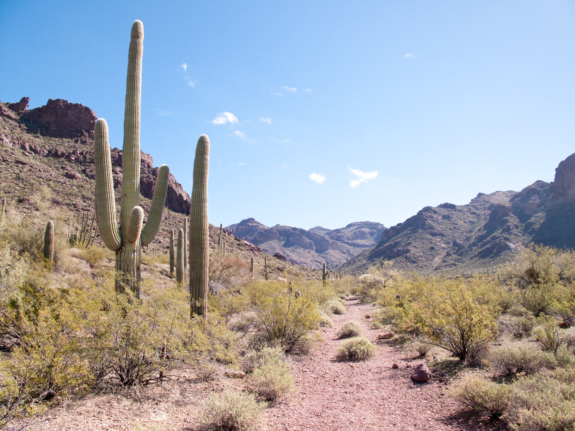
With a historic ranch, beautiful canyon views, and great opportunities for wildlife watching, Alamo Canyon has it all. The Alamo Canyon Trail follows an old road to a historic ranch house and corral. About three-quarters of a mile up the trail is the remains of an old brick building, the ranch house used by the Gray family’s ranching operation in the early 1900s. To the left of it are the remains of an older adobe structure, home to Birdie and Bill Miller, who ranched the canyon before leasing and selling it to the Grays.
In wet years, a small stream will run in Alamo wash in the winter and early spring. Because of the water that flows through the washes of Alamo, this spot is a great place to see wildflowers and wildlife, especially birds.
The maintained trail ends at the well and corral used by Birdie and Bill Miller, and later the Gray family. Wells were essential to a successful ranching operation because of the scarcity of water in the desert. Though the maintained trail ends at the corral, Alamo Canyon splits into three prongs beyond the corral. There are social trails that wander up the north and south forks of Alamo Canyon.
Distance: 1.8 miles (2.9 km) round-trip
Difficulty : Easy - Moderate
Elevation change : To corral 100 feet (30.5 m)
Accessibility Trail terrain is uneven, rocky and steep in some sections. Hikers of many different abilities have hiked this route in the past. If you are curious about accessibility for your needs please contact the park.