
Little Laurel Trail
Picnic areas
Along the way Grandview Picnic Shelter 4
Trailhead Little Laurel Trailhead 2,428 ft Drive there
Trail Run or hike the Little Laurel Trail 4 mi round trip · the Park Service's write-up
30-120 Minutes · dogs allowed · season <p>The Little Laurel Trail is delightful all year round. Whether you are hoping to get in some views of the river (in the winter when the tree canopy isn't blocking your view), or to feel that cool temperature change in the heat of the summer, this trail is a favorite for many trail runners, hikers, and mountain bikers all year round. </p>
Start Little Laurel Trailhead
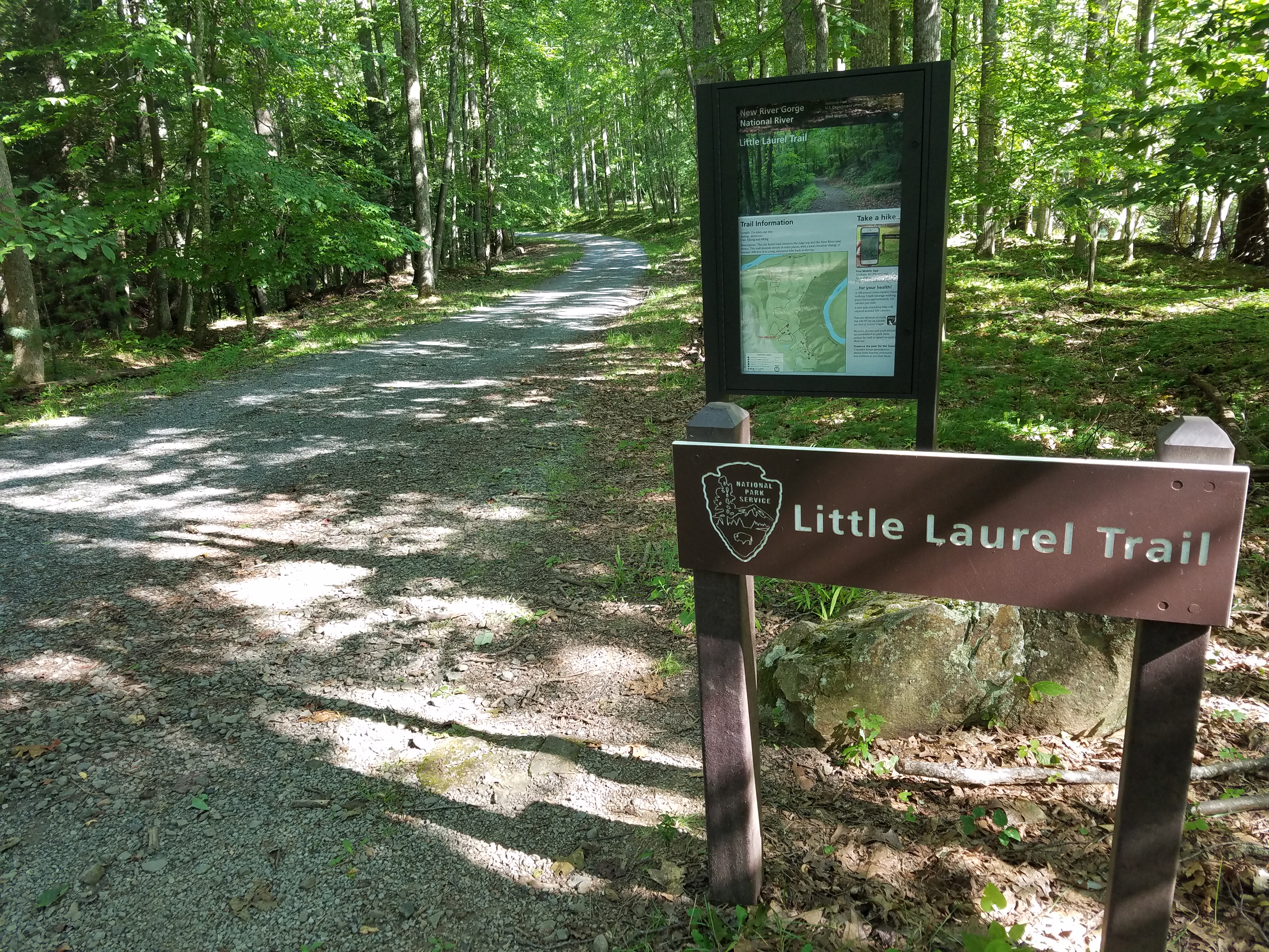
Have you ever wanted to go on a trail run or a hike on a trail where you won't run into a lot of people?
If you are seeking an outdoor hike or trail run away from the crowds, the Little Laurel Trail may be just the place for you!
The trail can be accessed from the top at Grandview Area or from the bottom at Glade Creek. The Little Laurel Trail is 2.0 miles in each direction and one of those directions will be uphill. If you begin at the trailhead located at Grandview, you will begin your journey downhill on a crushed rock path. This was an old maintenance road and the rocks are still maintained. Once you get to the bottom, you will come to a gate which is just steps away from the Glade Creek Rd. Diagonally across from this intersection is the location of the abandoned coal town called Royal. If you turn around and retrace your steps, you will have a 2.0 mile hike (or run) back up to the plateau at the Grandview location.
Accessibility The Little Laurel Trail has steep inclines on a rocky path that descends approximately 1000 feet down into the gorge. The trail starts at the top of the plateau at the Grandview location (near picnic shelter 4) and will stop at the Glade Creek Rd. The outdoor enthusiast will have to return back up the trail to get back to where the journey started.