
Keet Seel
Keet Seel Hike 17 mi round trip · the Park Service's write-up
no dogs · reservation required · Summer · season Keet Seel is <strong>open</strong> from Memorial Day (May) to Labor Day (September). <br /> <br /> Keet Seel is <strong>closed</strong> from Labor Day weekend and will not open until the following year's Memorial Day weekend.
Start Keet Seel
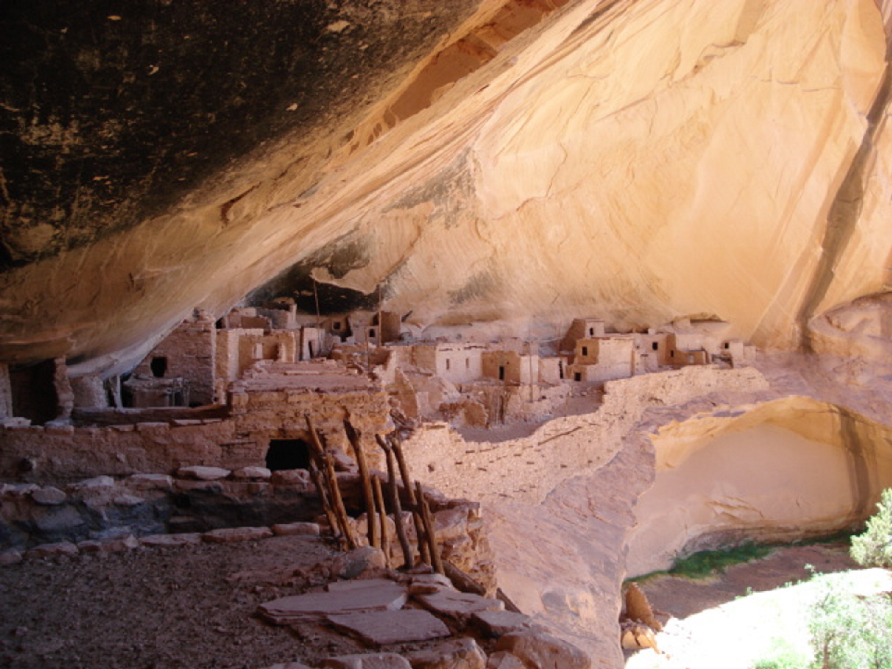
The back country hike to Keet Seel uses a 17 mile round trip trail. A free permit is required and can be reserved by calling the visitor center. The permit is obtained after hiker(s) attend a hiking orientation the day before their hike.
Pets No pets are allowed on the Keet Seel Trail. Hikers may come across "stray" animals such as dogs or cats on the trail. These animals often belong to local residents. Please do not feed animals or bring them back to the ranger station/visitor center.
Accessibility The hike to Keet Seel is strenuous including canyon switch backs and climbing sand dunes. Crossing multiple streams is a common occurrence on this trail. Quicksand may be present during and after the summer monsoon season (July-August). There is an elevation loss of up to 1000 feet from the visitor center to the canyon floor. Once reaching the canyon floor, there is an elevation gain of up to 300 feet to Keet Seel village.