
TU National Scenic Trail
ViewsHistoryLakes
Along the way Chickasaw Village Old Town Lake Old Town Overlook
Trailheads Chickasaw Village Self Guiding Trail / NST Blackland Prairie Section Trail 308 ft Drive there · NST - Blackland Prairie Section Trail 317 ft Drive there · NST - Blackland Prairie Section Trail 319 ft Drive there
Hiking the Blackland Prairie Section of the Natchez Trace National Scenic Trail 3.5 mi loop · the Park Service's write-up
1-6 Hours · dogs allowed · season This area is the best to hike in the spring to see spring wildflowers around the Chickasaw Village area and the fall time (late October) for the fall foliage.
Start Tupelo, Mississippi
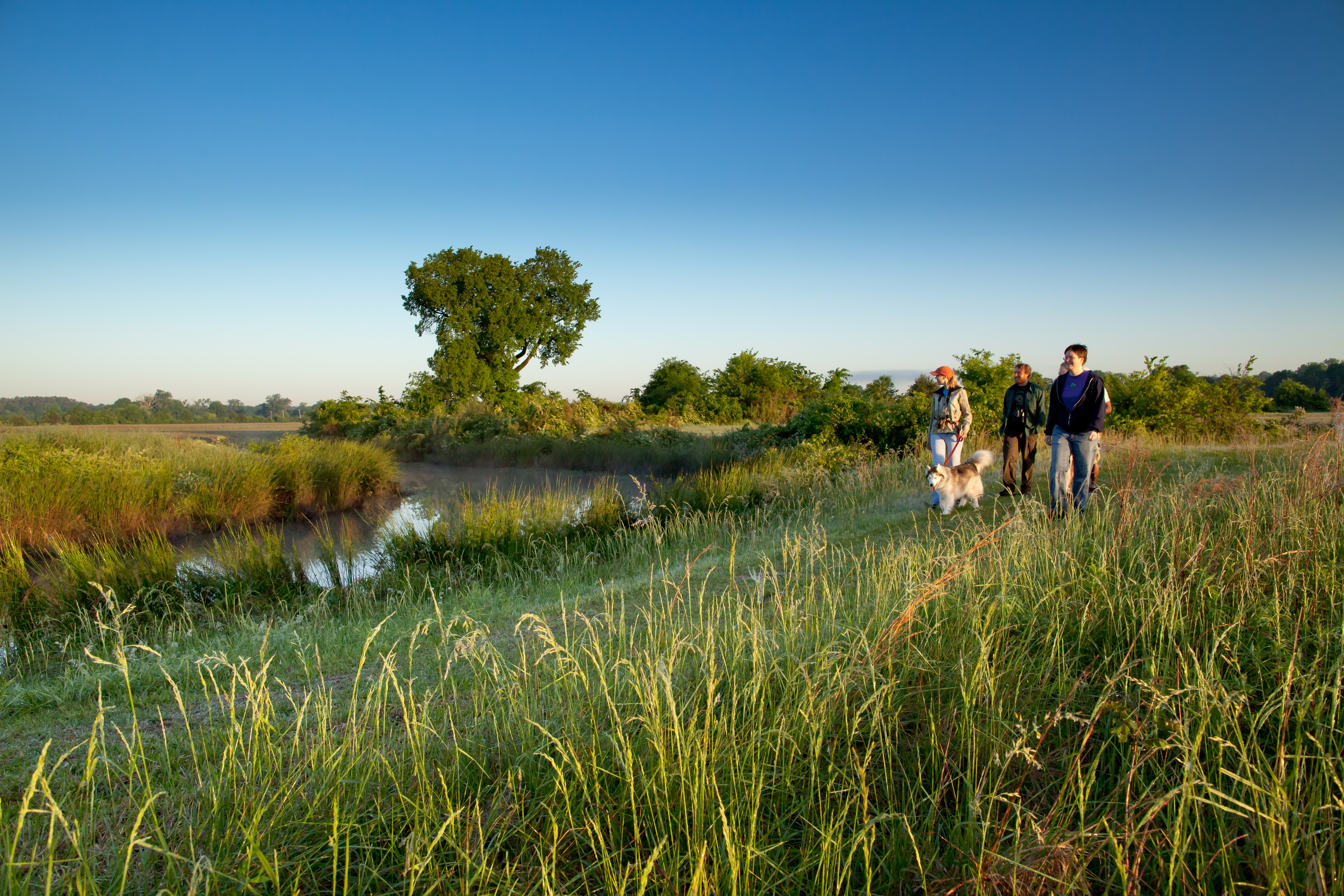
In and around Tupelo, Mississippi, this six mile section is a popular hiking and equestrian corridor for visitors. Bicycles are prohibited on this trail. You can pick up a Natchez Trace National Scenic Trail brochure by visiting the Natchez Trace Parkway Visitor Center near the northern terminus trail head at Milepost 266 on the Natchez Trace Parkway. Check Parkway Visitor Center hours here
This trailhead is open to both hikers and horseback riders. This is the only staging area for horseback riders on the Tupelo section of Scenic Trail. A 3.5-mile loop trail is available for horseback riders.
Safety Information
At the following road crossing; creek crossing at milepost 264.5 and US 178 (McCullough Blvd.) crossing at Milepost 262.5, you must walk up to the Parkway and follow the road’s shoulder. Also be extremely careful at the railroad track crossing north of Chickasaw Village. See Alerts & Conditions and Road Site and Status for additional information.
Areas on the Trail
Northern Terminus Trailhead (Milepost 266): This trailhead is located just across the Parkway from the Natchez Trace Parkway Visitor Center. Hikers can travel six miles along the outskirts of Tupelo (12 miles roundtrip). You can make the walk as long or as short as you would like on this out and back trail. This section of Scenic Trail is open to hikers only and requires walking on the Parkway for road and creek crossings.
Old Town Overlook (Milepost 263.9): Hikers can continue north for 2 miles to reach the Parkway Visitor Center or continue south for 2 miles to reach the Chickasaw Village Site. This section of Scenic Trail is open to hikers only and requires walking on the Parkway for road and creek crossings.
Chickasaw Village (Milepost 261.8): The Chickasaw Village Site provides hikers access to the Natchez Trace National Scenic Trail, as well as a one-half mile interpretive trail. The half mile trail identifies plants and their uses by American Indians, especially the Chickasaw. Visitors can continue north to the Old Town Overlook and Visitor Center or can make a loop by using the horse trail and hiking trail. This section of Scenic Trail requires walking on the Parkway for road and creek crossings. The trail on the south side of the prairie is closed due to storm damage.
Directions
From the Natchez Trace Parkway, exit onto Highway 6 at Milepost 260. Travel west on MS Highway 6 for approximately ½ mile to Air Park Road. Turn right and travel north to the end of the road at Jackson Street. Turn right on Jackson Street. A paved parking/staging area is on the left.
Accessibility This trail has an average width of 3 feet. The composite of the trail varies from grass, gravel, wooden boardwalks and pavement. The trail is 6 miles in total length.