
Rocky Springs Trail
Trailhead Rocky Springs Trail 273 ft Drive there
Hiking the Rocky Springs Section of the Natchez Trace National Scenic Trail the Park Service's write-up
1-12 Hours · dogs allowed
Start Natchez Trace Parkway, north of Port Gibson, Mississippi
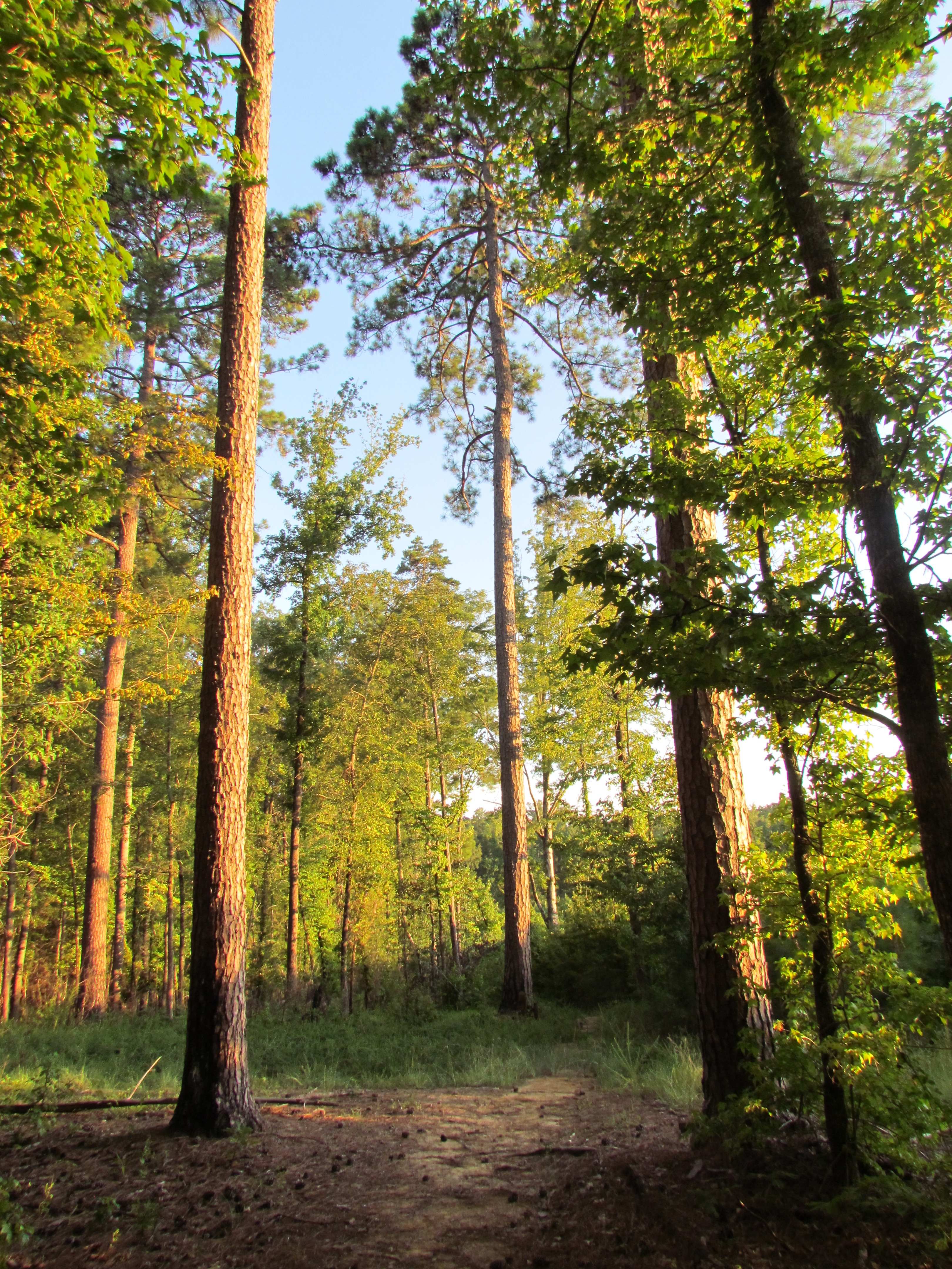
The Rocky Springs Section of the Natchez Trace National Scenic Trail is a little over 6 mile section located near Port Gibson, Mississippi. You can pick up a Natchez Trace National Scenic Trail brochure by visiting the Natchez Trace Parkway Visitor Center at Mount Locust, Milepost 15.5. Check Mount Locust visitor hours here.
This trail crosses gently rolling forested land. At Rocky Springs, a side trail leads to the remains of the old town , including a church and cemetery. The church and cemetery are off Parkway property.
South of Rocky Springs the trail is moderately strenuous in places--up and down through deep ravines. Near the south terminus at Owens Creek is a good spot to sit quietly and listen to the forest.
Camping is not permitted along this section of trail. All camping must take place in designated campgrounds. Rocky Springs Campground is located very close to the trail. See Camping along the Natchez Trace Parkway for additional information.
See Maps for additional information.
See Alerts & Conditions for additional information.
Areas on the Rocky Springs Section of the Natchez Trace National Scenic Trail
Northern Terminus Trailhead at Hwy27/Fisher Ferry Road (near Milepost 59): This trailhead is an excellent staging area for horseback riders. There is ample parking for trailers. This is the only area for horses to stage on this section of trail. There is no water available at this location. Horseback riders will be riding on the road shoulder for part of this trail.
To get to this trailhead exit the Parkway at Milepost 59 and follow the signs to the Natchez Trace National Scenic Trail Parking.
Rocky Springs Picnic Area (Milepost 54.8): This trailhead is accessible to hikers only. Hikers can take the trail from the picnic area, and continue north eight miles to the northern terminus or continue south two and one half miles to the southern terminus at Owens Creek. The southern portion of trail takes you over rocky outcroppings and on steep ridges. This trailhead has the most amenities and parking available on this section of Natchez Trace National Scenic Trail.
Southern Terminus at Owens Creek (Milepost 52.4): Owens Creek is the southern terminus of the Rocky Springs Section of the Natchez Trace National Scenic Trail. This trailhead is available to hikers. You can start here and hike 6 miles north to the northern terminus of the Rocky Springs Section of the Natchez Trace National Scenic Trail. This area can be unstable due to erosion. Please see Alerts & Conditions before hiking and respect all trail closures.
Accessibility This trail has an average width of 3 feet. The composite of the trail varies from grass, gravel, wooden boardwalks. The trail is 6 miles in total length. South of Rocky Springs the trail is moderately strenuous in places--up and down in terrain through deep ravines.