
RI National Scenic Trail
Trailheads NST - Yockanookany Section Trail 319 ft Drive there · NST - Yockanookany Section Trail 343 ft Drive there · Southern Pines Self Guiding Trail 320 ft Drive there
Hiking the Yockanookany Section of the Natchez Trace National Scenic Trail the Park Service's write-up
1-15 Hours · dogs allowed
Start North of Jackson, MS on the Natchez Trace
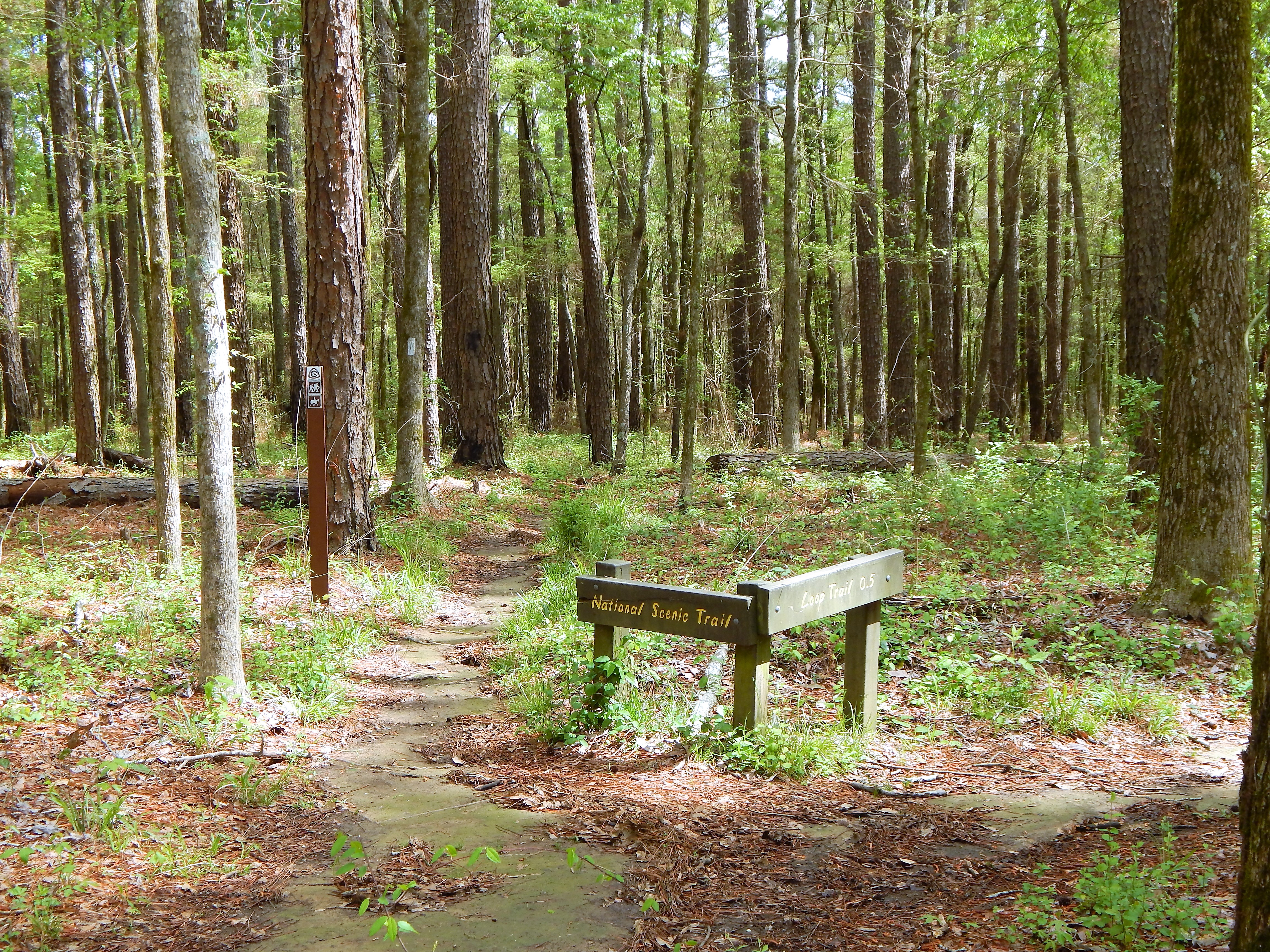
North of Jackson, Mississippi the Yockanookany section of the Natchez Trace National Scenic Trail is the longest of the five developed trail sections at 26 miles. Eight miles run alongside the Ross R. Barnett Reservoir, and the other sixteen miles go through dense forests, seasonal streams and open pastureland.
There is a lot to see on this stretch of trail; many sites are accessible via short side trails (you may have to cross the parkway). The trail parallels the parkway roadbed; use caution at all times, especially at bridge crossings, where you must walk along the Parkway road.
Camping is not permitted along this section of trail. All camping must take place in designated campgrounds unless you received a special use permit in advance. See Camping on the Natchez Trace Parkway for additional information.
See Maps for additional information.
See Alerts & Conditions and Road and Site Status for additional information.
Areas on the Yockanookany Section of the Natchez Trace National Scenic Trail
Northern Terminus Trailhead at Yockanookany (Milepost 130.9): The Yockanookany trailhead is the northern terminus of the Yockanookany Section of the Natchez Trace National Scenic Trail. This trailhead is open to hikers only. From this trailhead, the southern terminus at West Florida Boundary is about 26 miles away. To access the trailhead from the parking area walk south from the parking area several hundred feet until you see the Natchez Trace National Scenic Trail sign on your right.
Upper Choctaw Boundary (Milepost 128.4): Hikers can access the Yockanookany section of the Natchez Trace National Scenic Trail from the short self-guided interpretive walk at the location.
Cypress Swamp (Milepost 122): The Cypress Swamp Trailhead is located directly across the paved Parkway from the Cypress Swamp site. Hikers may hike south 14.1 miles to the West Florida Boundary, north 8.9 miles to the Yockanookany Trailhead, or any distance they chose on this out and back trail.
Highway 43 Trailhead (near Milepost 114.9): This is a the only staging area for horses on this section of the Natchez Trace National Scenic Trail. There is ample room for parking trailers, and water is available for horses to drink at this trailhead. Riders can travel north 16 miles to the northern terminus at Yockanookany, or south seven miles to the southern terminus at the West Florida Boundary.
To reach the Mississippi Hwy. 43 trailhead, exit the Parkway at Milepost 115; go west on MS Hwy 43 a short distance to Yandell Road; turn left (south) for 100 feet; turn left into the parking area.
Southern Terminus Trailhead at the West Florida Boundary (milepost 107.9): The West Florida Boundary Trailhead is the southern terminus of the Yockanookany Section of the Natchez Trace National Scenic Trail. This parking area and trailhead is for hikers only. Hikers may chose to walk a short loop on the nature trail or continue for 26 miles to the northern terminus of this section at the Yockanookany Trailhead.
Accessibility This trail stretches for 26 miles in total. The trail is about 3 to 4 feet wide and goes over uneven terrain. The trail can get muddy due to use as well as after rainfall.