
Park · District of Columbia
Trails in National Capital Parks-East
10 named trails · 7 miles · 1 with the Park Service's own write-up. The lines, trailheads and points are the Park Service's; the write-ups are the Service's own words; the climbing is read from USGS elevation along each line.
10 trails, A to Z.
Folger Park Path
Fort Circle Hiker-Biker Trail
Fort Circle Hiker-Biker Trail Spur
Fort Circle Trail
Fort Mahan Access Rd
Fort Mahan Trail
Explore the Civil War Defenses of Washington Hiker-Biker Trail the Park Service's write-up
1-5 Hours · dogs allowed
Start Fort Circle Hiker-Biker Trail
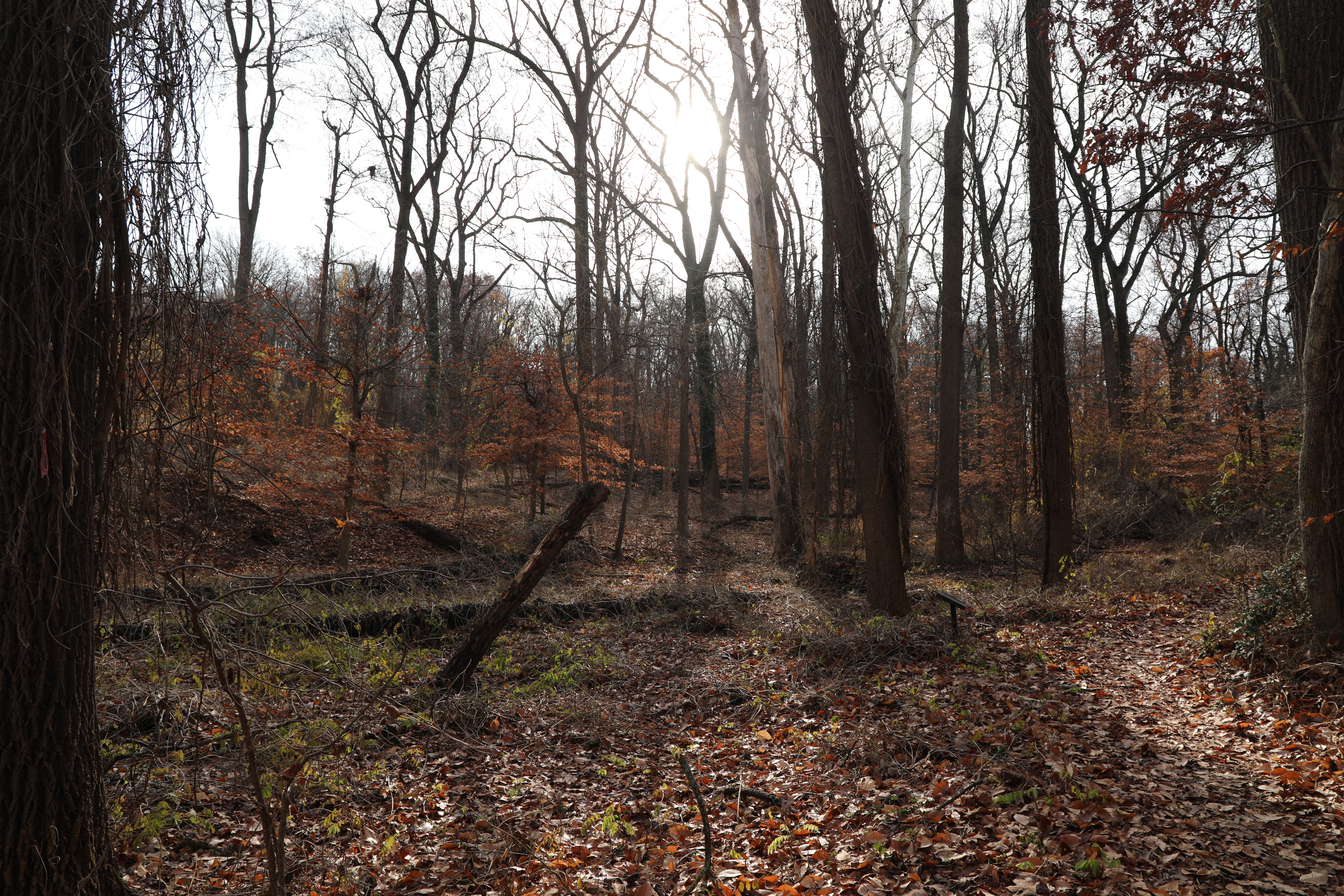
Hike or mountain bike the 7-mile trail from the Fort Stanton to Fort Mahan and take in scenery that ranges from urban greenspaces to forest ecosystems. Hikers can enjoy periodic escapes into nature and bikers can challenge themselves on the mountain-biking terrain, all while recreating along a historic landscape once home to a circle of Civil War forts.
Accessibility Parking & Trailheads: There are numerous locations where the trail can be accessed from. These crossings usually have a crosswalk available, and some may have street parking directly next to the trail. Fort Dupont Park has 2 parking lots (Fort Dupont Drive) and a parking lot at the Lanham Estates Picnic Area off Alabama Avenue (open seasonably). Bathrooms – There are limited bathrooms along the trail. Natural surface – The trail is mainly nature surface (dirt, gravel) and may have tripping hazards or downed trees. Some sections are along a sidewalk, street crossing, or a paved multi-use path. Outside of the short, paved sections of trail, the trail is not suitable for standard road bikes. Mountain bikes and specialized wheelchairs for trails would be required. Motorized bikes or ATVs are not permitted. Difficulty – the trail ranges from easy to moderately difficult depending on skill and physical fitness levels. Between the North trailhead and Marion Barry Avenue SE the trail is flat or contains areas with slight hills or rolling terrain. Between Marion Barry Avenue SE and the South Trailhead, the trail climbs steadily over somewhat steep terrain and there is an area with two bridges that have steps. Bikers may need to dismount to navigate these bridges, but wheelchair users are unlikely to be able to navigate the bridges on this section of the trail. The spur from the main trail to the remains of the earthworks at Fort Dupont and a seasonal parking area at Lanham Estates Picnic area is steep and moderately difficult. Other accessibility features: No potable water is available at the site.
Lincoln Park Path
Marion Park Path
Seward Park Path
More hikes the Park Service describes
Write-ups that name no single mapped trail, in the Service's words.
- Hiking at Oxon Cove Park · 30-120 Minutes · dogs allowed
Hiking at Oxon Cove Park
About these trails
The lines are the National Park Service's public trails layer, the trailheads and the waterfalls, views, peaks and historic places along them the Service's public points of interest, read 2026-10-14 and simplified for the map. The write-ups are the Service's own "things to do", unedited. Heights come from USGS 3DEP through Terrain Tiles on AWS (Mapzen/Tilezen), read along each line and rounded; a short trail on steep ground can be off by a few tens of feet. Closures change: check the park's own site before you go.