
Redwood Creek Trail
Visitor centers
Along the way Muir Woods Visitor Center
Trailhead Muir Woods Trailhead 141 ft Drive there
Hike the Main Trail at Muir Woods the Park Service's write-up
1-2 Hours · no dogs · entrance fee applies
Start Muir Woods Main Trail
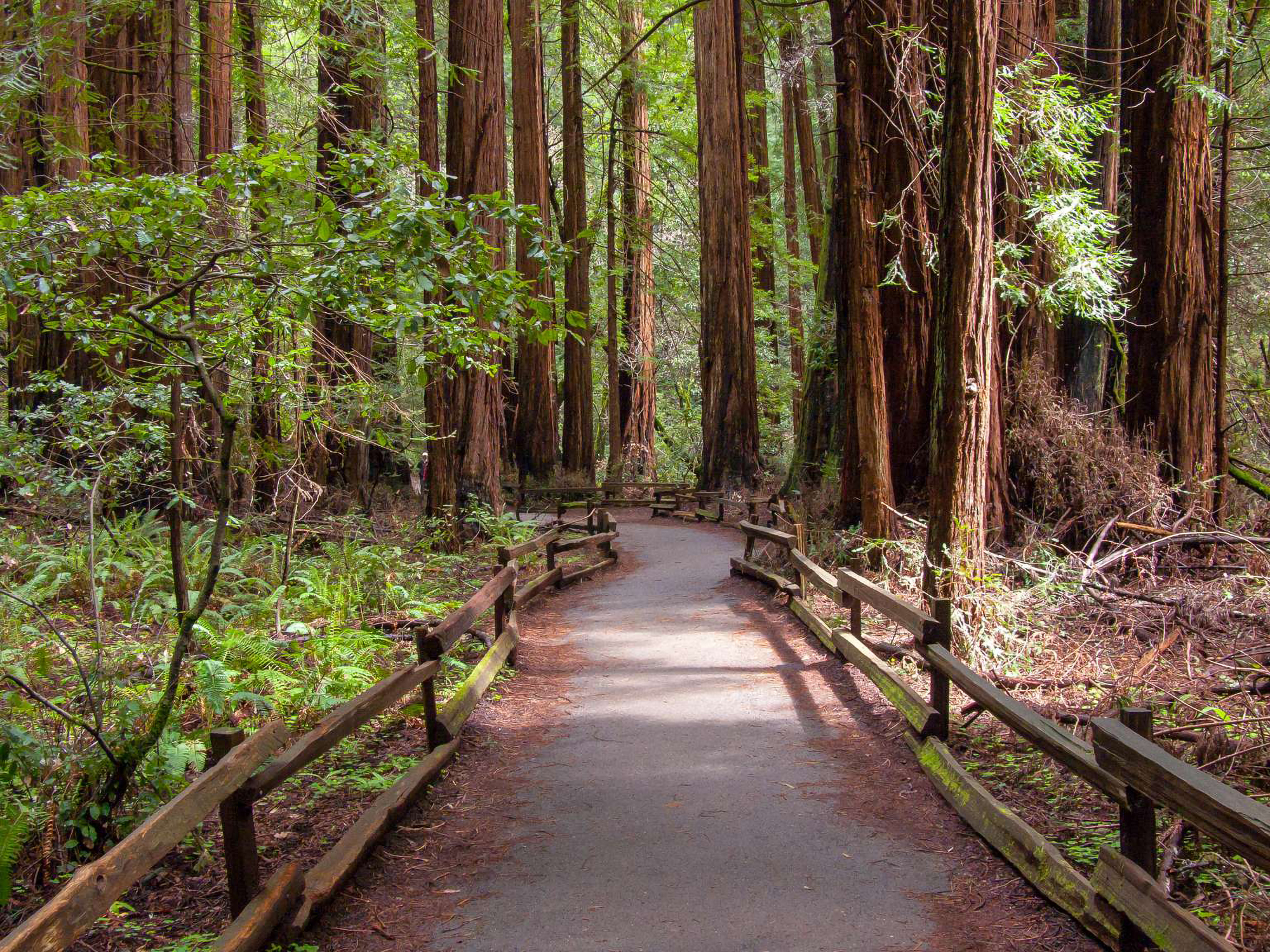
Muir Woods' main trail begins at the visitor center and follows Redwood Creek on both sides of the stream. Large redwood trees line this trail from the very beginning. Though a level, easy stroll, the walk can be shortened by crossing at the second or third bridge to return. The path consists of firm surfaces, a mixture of wooden boardwalk, asphalt paving, and packed native soil.
Pets The Main Trail is closed to dogs. Please remain on the established trails. Off-trail travel harms plants and causes erosion.
Accessibility Muir Woods Main Trail Overview Distance: 2.0 mi (3.2 km) Elevation Gain: 30 ft Time: 2 hours Trailhead: Muir Woods Visitor Center Slope: Avg 2% Max 19% Side Slope: Avg 2% Max 19% Width: Avg 37" Min 48" Trail Surface: Firm Safety Stay on the established trail. Keep an eye out for poison oak. Dress in layers and be prepared for varying weather conditions. Sunny days along the coast can turn windy, foggy, and cold very fast. Parking There is trailhead parking at Muir Woods including 8 ADA accessible spots. Parking at Muir Woods requires a reservation. Bathrooms Accessible restrooms can be found adjacent to the Muir Woods entrance plaza and behind the Cafe and Giftshop. Water Drinking water may be found adjacent to the Muir Woods entrance plaza, behind the Cafe and Giftshop, and along the trail at the Fern Creek trail junction. Avoid becoming dehydrated or experiencing heat exhaustion. Drink plenty and drink often; pace yourself; rest in the shade; and eat salty snacks.