20 named trails · 20 miles · 2 with the Park Service's own write-up. The lines, trailheads and points are the Park Service's; the write-ups are the Service's own words; the climbing is read from USGS elevation along each line.
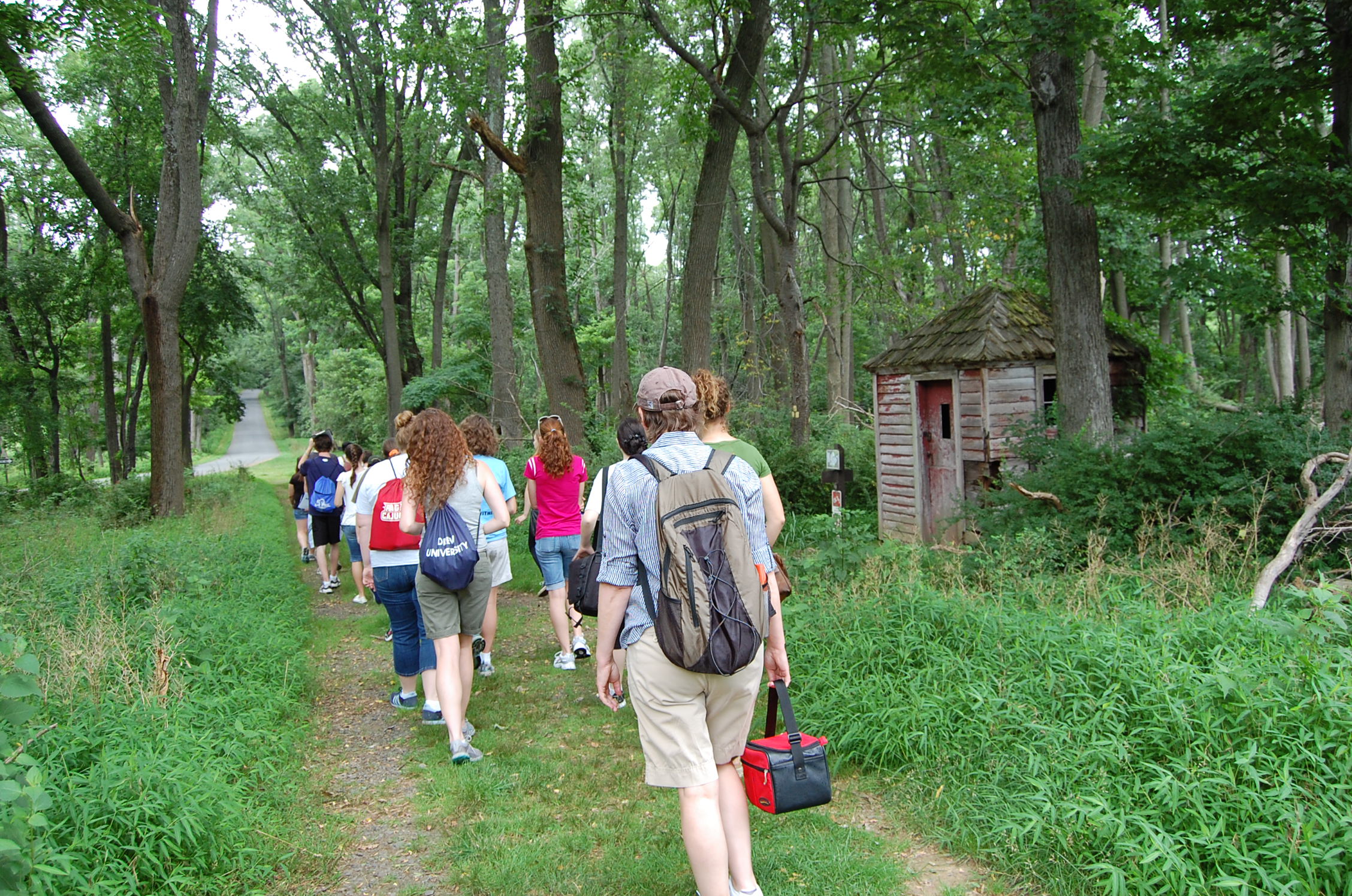
You can go in any order once you arrive at the New Jersey Brigade Encampment Area and Cross Estate Gardens. The hike is approx. 1 mile to reach the encampment site (note: it is downhill going out, uphill coming back).
Accessibility The hiking trail to the NJ Brigade Encampment site is not ADA accessible. The gardens are accessible but the paths throughout the garden are gravel.
You can go in any order once you arrive at the New Jersey Brigade Encampment Area and Cross Estate Gardens. The hike is approx. 1 mile to reach the encampment site (note: it is downhill going out, uphill coming back).
Accessibility The hiking trail to the NJ Brigade Encampment site is not ADA accessible. The gardens are accessible but the paths throughout the garden are gravel.
14 more mapped segments without a name are on the map, not in the list.
About these trails
The lines are the National Park Service's public trails layer, the trailheads and the waterfalls, views, peaks and historic places along them the Service's public points of interest, read 2026-10-14 and simplified for the map. The write-ups are the Service's own "things to do", unedited. Heights come from USGS 3DEP through Terrain Tiles on AWS (Mapzen/Tilezen), read along each line and rounded; a short trail on steep ground can be off by a few tens of feet. Closures change: check the park's own site before you go.