
Battle Road Trail (multi-purpose recreational path)
Hike the Battle Road Trail the Park Service's write-up
1-4 Hours · dogs allowed
Start The Battle Road Trail / Meriam's Corner
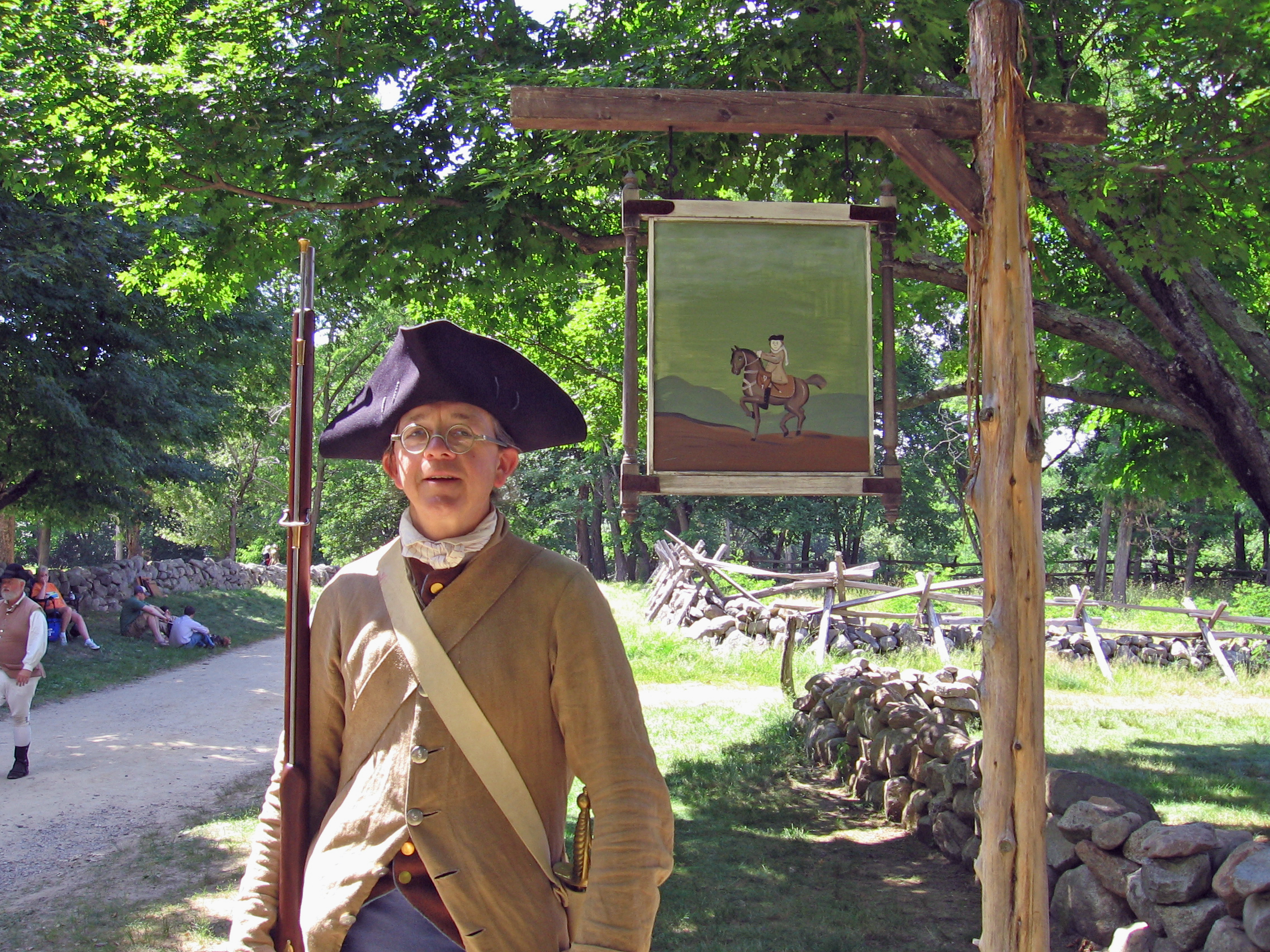
The Battle Road Trail is a five mile trail connecting historic sites from Meriam’s Corner in Concord to the eastern boundary of the park in Lexington. Much of the trail follows the original remnants of the Battle Road: Where thousands of Colonial Militia and British Regulars fought a bloody engagement on April 19, 1775. In some areas the trail leaves the historic road to follow the route of the Minute Men traversing farming fields, wetlands, and forests.
Aside from it's significance as a hallowed battlefield, the trail is known for it's scenic beauty, biodiversity, and natural resources.
The trail is accessible by several parking areas along Route 2A and Lexington Road. Visit our Maps and Directions page for more parking information and pick up a park map at the Minute Man Visitor Center.
To learn more, visit our website! The Battle Road Trail - Minute Man National Historical Park (U.S. National Park Service) (nps.gov)
Accessibility The Battle Road Trail The trail is surfaced in a mix of packed sand and clay and is wheelchair accessible. However, conditions vary depending on the weather and some areas can be softer than others. The grade is mostly level though there are a few short hills at Brooks Hill, beyond Tanner Meadow, and at Fiske Hill. The trail can be accessed by several parking areas along Route 2A and Lexington Road. Visit our Maps and Directions page for more parking information and pick up a park map at the Minute Man Visitor Center.