
Netul River Trail
Netul River Trail 1.25 mi one way · the Park Service's write-up
20-60 Minutes · dogs allowed · entrance fee applies · season While the Netul River Trail is navigable in any weather, please note that rain can make the trail, particularly the boardwalks, slick in some places and muddy in others. Portions of the trail are also known to be under water during king tides. Be sure to check the <a href="https://www.nps.gov/lewi/planyourvisit/weather.htm">weather</a> before your departure. <br /> <br /> It is not advisable to utilize any trails at Lewis and Clark National Historical Park during periods of high wind. Downed trees are common and may make the trail difficult or impossible to pass.
Start Netul Landing
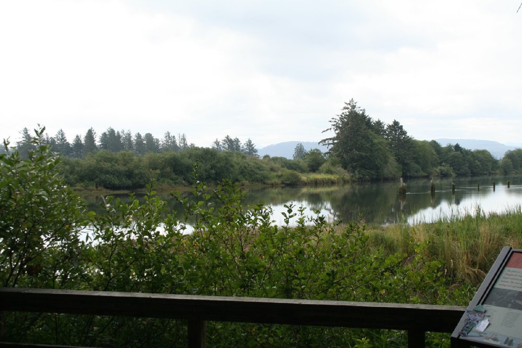
The Netul River Trail is rich in natural vistas and history. The 1.25 mile one way trail is level and easy going from the Historic Canoe Landing to the South Netul Landing, with a steep incline up to the Fort Clatsop Visitor Center. The river is influenced by tide, so the view and the wildlife will change not just throughout the seasons, but throughout the day.
The Netul River trail makes a great short hike. There are sections of the trail that can be slick. Know before you go what the weather will be like, where you are going, and how you will get back to your car. There are pit toilets at Netul Landing North and South and a restroom and water bottle filling station at the Fort Clatsop Visitor Center. There are trash cans at the visitor center and at North Netul, but not along the way. Please practice principals of Leave No Trace . Please Check out our safety page for more tips to prepare for your hike , and stop in at the visitor center before you go, to pay the entrance fee, grab a trail map and check in with a ranger regarding any trail closures or dangerous conditions.
Accessibility Trail from VC to Fort Length: 100 yards one way Substrates - 70% (Engineered Wood Fiber) Wood chips 3/4inch up to 3 inch; 30% Exposed concrete aggregate Steep slope - 2% Most narrow section of path - 32 inches Benches/rest areas: Benches available at fort and the patios outside the visitor center. Potential hazards: Slippery Trail from picnic area to historic canoe landing Length: 200 yards Substrate - Compacted Gravel, 1/4” and smaller Steep slope - yes Narrow section of path - 32 inches Benches/rest areas: Bench along path Potential hazards: Tree roots & slippery boardwalk Netul Trail Length: 1.25 miles one way Substrates - 50% compacted gravel ¼” and smaller; 30% broom finished concrete; 20% wooden boardwalk Slope: 1% Narrow sections of path: 32 inches Benches/rest areas: Bench along path Potential hazards: Muddy, flooded, high winds, downed trees, slick boardwalks Though the Netul River Trail is not designated as wheelchair-accessible, motor scooters can be borrowed from the Fort Clatsop Visitor Center front desk to travel from the visitor center to the Historic Canoe Landing. Motor Scooters are not suggested to go all the way to the Netul Landing due to insufficient battery charge. For specific inquiries please e-mail the Lewis and Clark NHP Accessibility Contact or call (503)861-2471.