
Kwis Kwis Trail
Kwis Kwis Trail 3.6 mi one way · the Park Service's write-up
1-5 Hours · dogs allowed · entrance fee applies · season Trails tend to be more muddy and can be flooded in areas during the winter and spring. If you are planning a hike during those times please also check wind and weather advisories. It is not advisable to utilize any trails at Lewis and Clark National Historical Park during periods of high wind. Downed trees are common and may make the trail difficult or impossible to pass.
Start 92343 Fort Clatsop Rd.
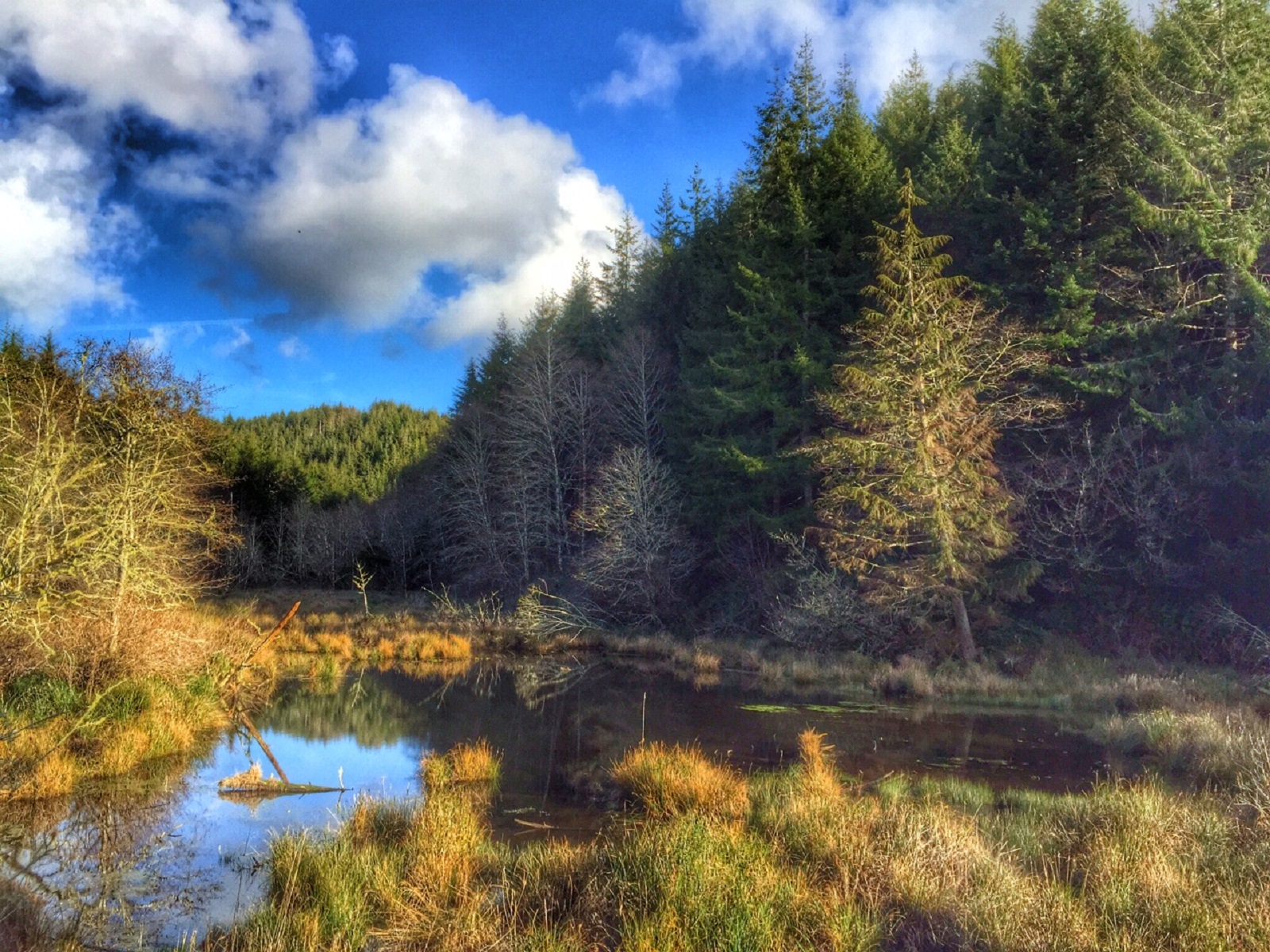
Enjoy a hike in the beautiful Sitka Spruce Temperate Rainforest. The Kwis Kwis Trail runs parallel to the Fort to Sea Trail and can be combined with the Fort to Sea Trail to make a variety of lengths of loops. Portions of the trail are along ponds with a great diversity of aquatic and avian wildlife.
The Kwis Kwis Trail makes a great day hike if you have prepared well. There are sections of the trail that are steep, going both uphill and downhill, sections of the trail that can be slick and muddy. Know before you go what the weather will be like, where you are going, and what connection you will be taking for your return hike. There is a bathroom at the trail head and one towards the end of the Kwis Kwis Extension (3.6 miles), but there are no water fountains, so make sure you bring plenty of water and snacks. Please also plan on packing out anything you pack in as there are no trash cans along the way. Check out our safety page for more tips to prepare for your hike , and stop in at the visitor center before you go to pay the entrance fee, grab a trail map and check in with the ranger regarding any trail closures or dangerous conditions.
Accessibility Kwis Kwis Trail + Extension Substrates - 50% compacted ¾” gravel, 30% compacted dirt, 20% boardwalk Steep slope - Yes Narrow section of path - 32 inches Benches/rest areas: No Potential hazards: Muddy, flooded, trail washing out, high winds, downed trees, slick boardwalks Kwis Kwis Connector Substrates - 100% compacted ¾” gravel Steep slope - No Narrow section of path: 48 inches Benches/rest areas: No Potential hazards: Muddy, flooded, trail washing out, high winds, downed trees, tree roots, tree roots The Kwis Kwis Trail is not designated as wheelchair-accessible. For specific inquiries please email the Lewis and Clark NHP Accessibility Contact or call (503)861-2471.