Trails in Kennesaw Mountain National Battlefield Park
43 named trails · 24 miles · 1 with the Park Service's own write-up. The lines, trailheads and points are the Park Service's; the write-ups are the Service's own words; the climbing is read from USGS elevation along each line.
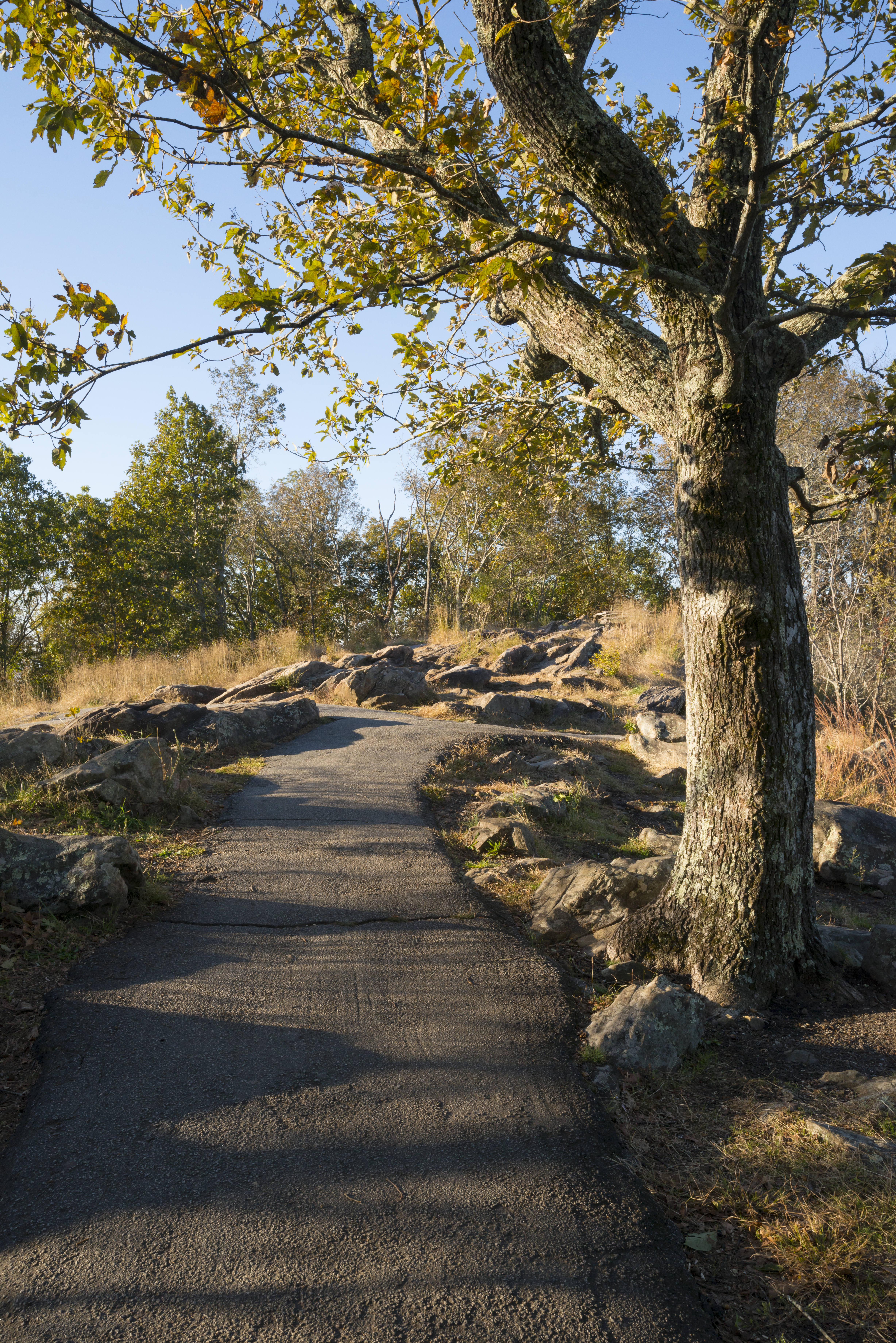
Late afternoon at the mountain offering scenic views Photo: Tom Wilson
The 1.1 mile hike to the top of Big Kennesaw Mountain is one of the most popular things to do at Kennesaw Mountain National Battlefield Park (NBP). In that short distance, you can see wonderful views, become immersed in the history of the Civil War battle that was fought on these grounds, and burn a few calories. It is moderately difficult, but there are plenty of switchbacks to cut the steepness and benches for resting at key points.
Beginning this hike and staying on track is easy and intuitive. After you use the restroom (only located at the Visitor Center) and grab your map, snack, and drink from the Visitor Center, head out of the front door. Taking a left, you will be on a wide sidewalk heading up a gentle hill. Stay on this sidewalk until you see our mountain road, which you will cross. You will see the trail head directly on the other side of the crosswalk. Staying on this trail and follow the signs and mile markers all the way to the top. The trail will first drop you in a parking lot with a really nice view of Atlanta and the surrounding cites to the south. If you continue up past the stone viewing station, you will reach the true summit of the mountain and an even better view!
Close toed, comfortable shoes are reccomended, along with plenty of water (especially in the summer time)
Accessibility The trail to the top of Big Kennesaw Mountain is not accessible to all visitors, specifically those in need of wheelchairs or that have trouble walking long distances (over a mile). The marjority of the trail is dirt, and it can be rocky and steep in some areas. However, we do have a two-lane, paved road that can also be used to access the parking lot at the top of the mountain. This road is usually open to personal vehicles from Monday - Friday, 6:30 am to 5:00 pm from November to March, or 6:30 am to 7:00 pm March to November (weather pending). The road is closed to personal vehicles Saturday and Sunday. Please also keep in mind that the road takes you to the parking lot at the peak of the mountain. To get to the peak, you must still ascend the set of stairs on the stone viewing station.
1 more mapped segment without a name is on the map, not in the list.
About these trails
The lines are the National Park Service's public trails layer, the trailheads and the waterfalls, views, peaks and historic places along them the Service's public points of interest, read 2026-10-14 and simplified for the map. The write-ups are the Service's own "things to do", unedited. Heights come from USGS 3DEP through Terrain Tiles on AWS (Mapzen/Tilezen), read along each line and rounded; a short trail on steep ground can be off by a few tens of feet. Closures change: check the park's own site before you go.