Park · District of Columbia

Trails in Kenilworth Park & Aquatic Gardens

4 named trails · 6 miles · 1 with the Park Service's own write-up. The lines, trailheads and points are the Park Service's; the write-ups are the Service's own words; the climbing is read from USGS elevation along each line.

Open on the parks mapEvery park with trailsPark on nps.gov

4 trails, A to Z.

Anacostia Riverwalk Trail

2.3 mi one way · about 20 ft of climbing · 1 ft–31 ft · asphalt, concrete, native surface · bike, hiking

6 ft 23 ft · 0.3 mi high 23 ft

Go Birding At Kenilworth Park and Aquatic Gardens! the Park Service's write-up

1-4 Hours · dogs allowed

Start Kenilworth Park and Aquatic Gardens boardwalk
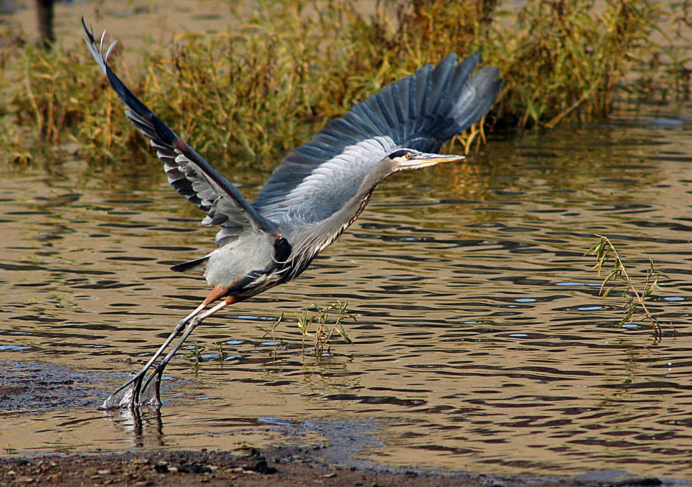
Great Blue Heron taking flight
Great Blue Herons are commonly found at Kenilworth Park and Aquatic Gardens Photo: Gary Hartley

Birdwatching, or birding, is a great outdoor activity at Kenilworth Aquatic Gardens. Kenilworth is home to both migratory and year-round resident birds. The Park's diverse habitats attract shore birds, wading birds, raptors, ducks, warblers, sparrows, owls and woodpeckers. Over 240 species of birds have been sighted in Kenilworth Park and Aquatic Gardens.

The best time to spot birds is early in the morning once we open, but you can find birds here all day. Bring your binoculars if you have them and a bird identification book as you never know what you may see.

Accessibility A majority of the trails at Kenilworth Park and Aquatic Gardens are loose gravel and are not easy to navigate by wheelchair. The visitors center and restrooms have ramps for access. The boardwalk is also wheelchair accessible.

This hike on nps.gov

13 more mapped segments without a name are on the map, not in the list.

About these trails

The lines are the National Park Service's public trails layer, the trailheads and the waterfalls, views, peaks and historic places along them the Service's public points of interest, read 2026-10-14 and simplified for the map. The write-ups are the Service's own "things to do", unedited. Heights come from USGS 3DEP through Terrain Tiles on AWS (Mapzen/Tilezen), read along each line and rounded; a short trail on steep ground can be off by a few tens of feet. Closures change: check the park's own site before you go.