
Lichen Trail
Hike the Lichen Trail the Park Service's write-up
1-2 Hours · dogs allowed
Start Lichen Trail
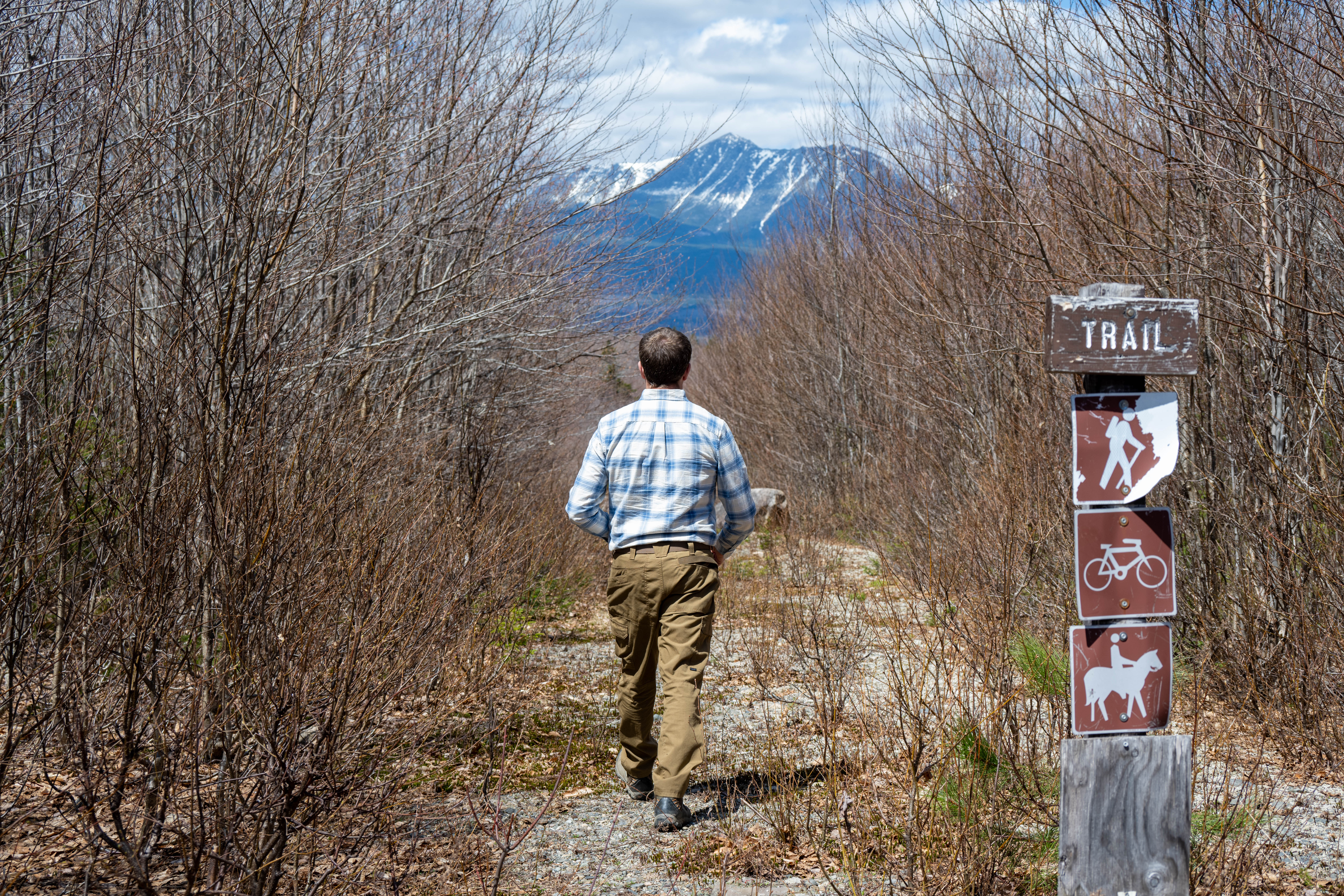
Lichen Trail is an out and back hike near the Katahdin Loop Road Overlook. It is one of the shorter day hikes available within Katahdin Woods and Waters National Monument. The Lichen Trail is approximately 1.2 miles/1.9km round trip with an elevation gain of 201ft/31.3m. Enjoy a scenic view of Katahdin as you hike on the Lichen Trail. Shade is limited in this area. Plan accordingly.
Trail Details
Start the hike by parking at the trailhead just north of the Katahdin Loop Road Overlook (45.84831,-68.74678). Please do not block the trailhead when parking. The hike begins with a gradual downhill, but you will have to hike back uphill to your vehicle.
As you hike along the trail, notice the Pink Earth Lichen (Dibaeis baeomyces) covering the trail surface. It is a light pink color and only a few millimeters in height. There are a variety of lichen that exist in the monument. How many types can you observe on this trail? Lichen may be small, but they play an important role in many ecosystems. Notice the different types of trees and signs of wildlife in this area as well.
Follow the sandy gravel trail to the bottom where it meets up with Rocky Pond Road multiuse trail before turning around and hiking back up to the same trailhead where you started.
Reminder: Carry out all trash and food waste (fruit peels, shells, etc.). Do not feed the wildlife.
Accessibility The Lichen trail has a sandy, gravel surface with an approximate elevation gain of 201ft / 61.3m. The round-trip distance is 1.2 miles (1.9km) from the trailhead. There is no toilet or potable water at this location. The parking is not marked with designated vehicle spaces. Park alongside the trailhead area and completely off the gravel road. Do not block the road or trailhead.