
West Side Loop
CampgroundsRanger stations
Along the way Black Rock Canyon Black Rock Canyon
Hike Hi-View Trail 1.3 mi loop · the Park Service's write-up
1-2 Hours · no dogs · Winter, Spring, Fall
Start The trailhead for the Hi-View Nature Trail
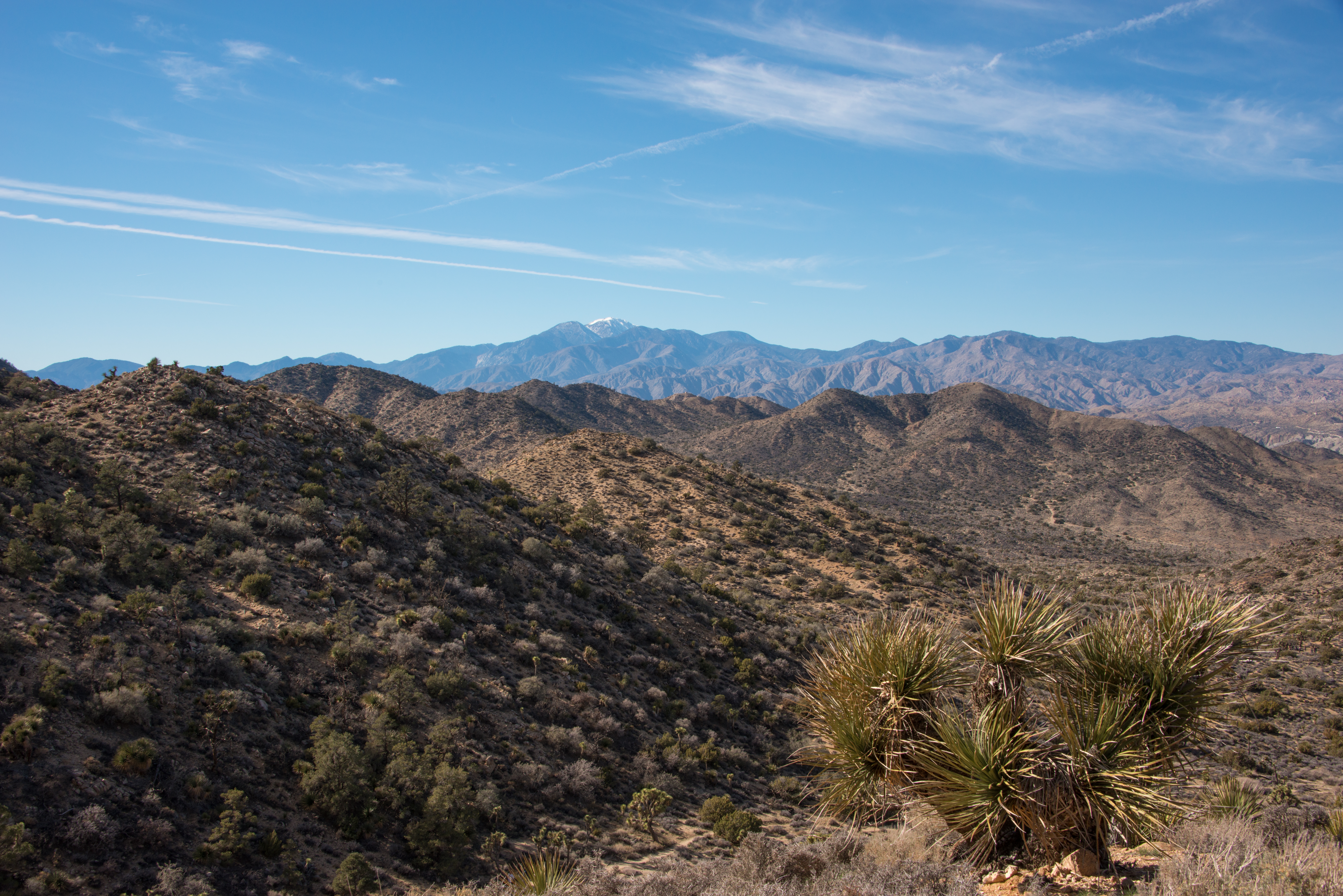
The Hi-View Trail is a 1.3-mile loop hike in the Black Rock area. The hike ascends 400 feet of elevation gain and reaches a high point with sweeping views of the surrounding mountains. Along the trail, you will see large Joshua trees, pinyon pine, and juniper trees. This area of the park tends to be slightly cooler and less busy than other areas of the park.
To access the trailhead, take the road west from the campground entrance (past the horse camp and water tank) to the parking area/trailhead at the end of the road. On busy days when parking is limited, visitors may use the horse camp area as overflow parking. Hikers cannot park in a campsite unless they have reserved that campsite.
Alternatively, hikers can add more mileage to their trek by starting from the parking lot between Black Rock campground sites 20 and 21. This would turn the hike into a “lollipop” loop and be a total of 3 miles.
Bring a good map when hiking in the Black Rock area because many trails crisscross and intersect.
This trail has limited shade and unreliable cell service. Summer hikers should start this trail before 8 am and bring plenty of water. Always check the weather forecast before heading into the park and consider changing plans if the weather conditions are too extreme. Hikers should always tell a safety buddy where they are going and when they plan on leaving the park.
Accessibility The Hi-View Trail contains various terrain types, including deep sand, hard pack dirt, and uneven rocky surfaces. This trail begins on a flat sandy trail and gradually gets steeper. On the steeper sections, there are installed rock steps to ascend/descend. The trail widens to a 6+ feet across in some areas but is as narrow as 2 feet in certain areas. The trail is not accessible for people using wheelchairs. Pets and emotional support animals are not allowed on trails, but service animals are welcome. Service animals must remain on a 6-foot (1.8 meter) leash at all times.
Hike West Side Loop 4.7 mi loop · the Park Service's write-up
2-3 Hours · no dogs · Winter, Spring, Fall
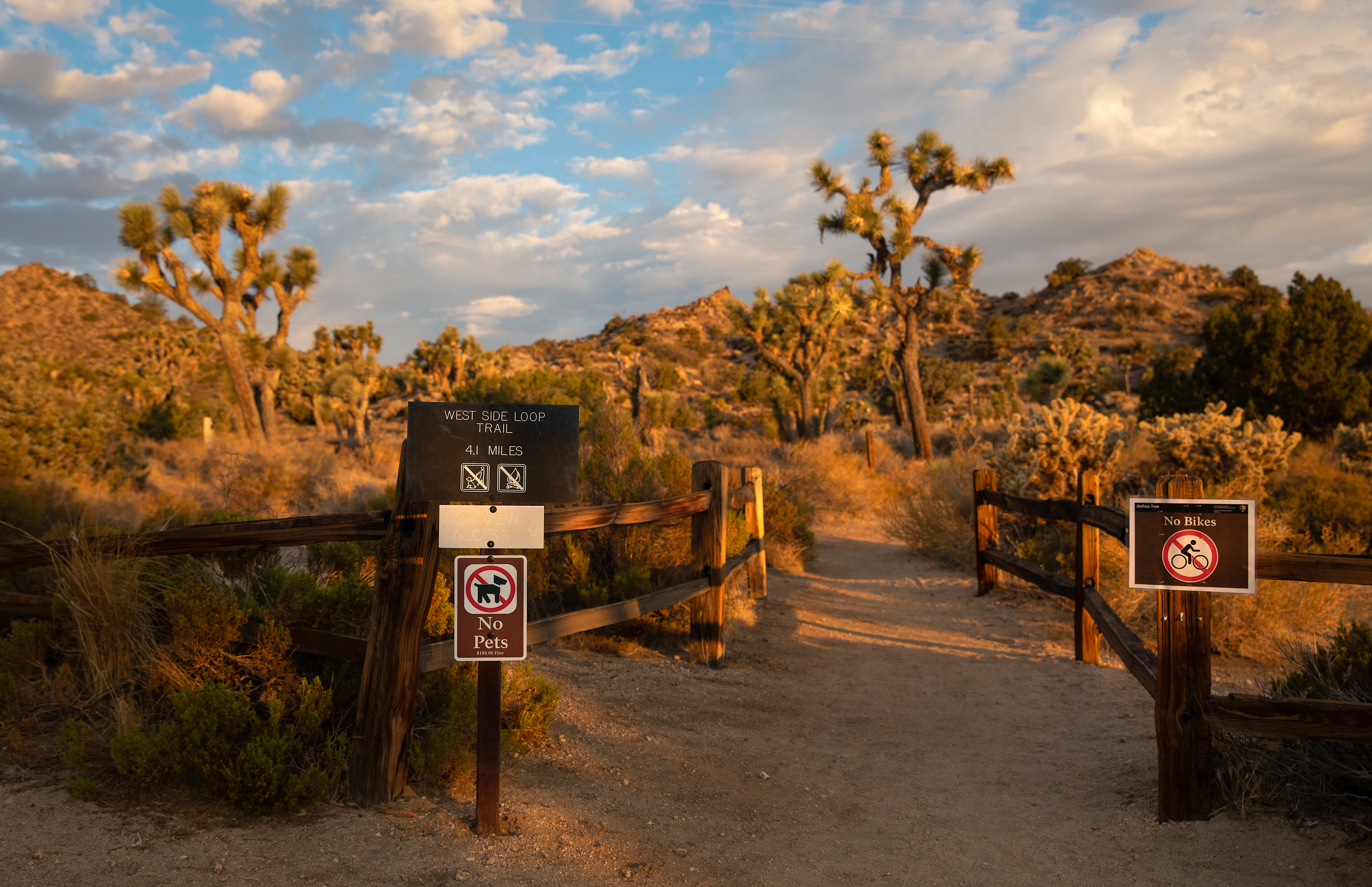
The West Side Loop Trail is a moderate, 4.7-mile loop hike in the Black Rock area of Joshua Tree. The trail meanders through stands of large Joshua trees and pinyon-juniper woodland and ascends 785 feet of vertical gain. The hike offers stunning views of San Gorgonio, the tallest peak in Southern California. This area of the park tends to be slightly cooler and less busy than other areas of the park.
There are multiple places to park and start/finish this trail. The most common are the Black Rock Nature Center and the trailhead for the Hi-View Nature Trail. The Black Rock Nature Center is located in the center of the Black Rock Campground. Park at the nature center and walk west to where the trail begins from the parking area between campsites 20 and 21. To access the Hi-View Nature Trailhead, take the road west from the campground entrance (past the horse camp and water tank) to the parking area/trailhead at the end of the road. On busy days when parking is limited, visitors may use the horse camp area as overflow parking. Hikers cannot park in a campsite unless they have reserved that campsite.
Bring a good map when hiking in the Black Rock area because many trails crisscross and intersect. This trail has limited shade and unreliable cell service. Summer hikers should start this trail before 8 am and bring plenty of water. Always check the weather forecast before heading into the park and consider changing plans if the weather conditions are too extreme. Hikers should always tell a safety buddy where they are going and when they plan on leaving the park.
Pets Pets and emotional support animals are not allowed on this trail but they can be walked around the Black Rock Campground.
Accessibility This trail contains various terrain types, including deep sand, hard pack dirt, and uneven rocky surfaces. The trail has steep sections and 785 feet of total elevation change. The trail is not accessible for people using wheelchairs. Pets and emotional support animals are not allowed on trails, but service animals are welcome. Service animals must remain on a 6-foot (1.8 meter) leash at all times.