
Wall Street Mill
Hike Wall Street Mill the Park Service's write-up
45-120 Minutes · no dogs · Winter, Spring, Fall · season Summer hikers should start this trail before 10 am and should bring plenty of water.
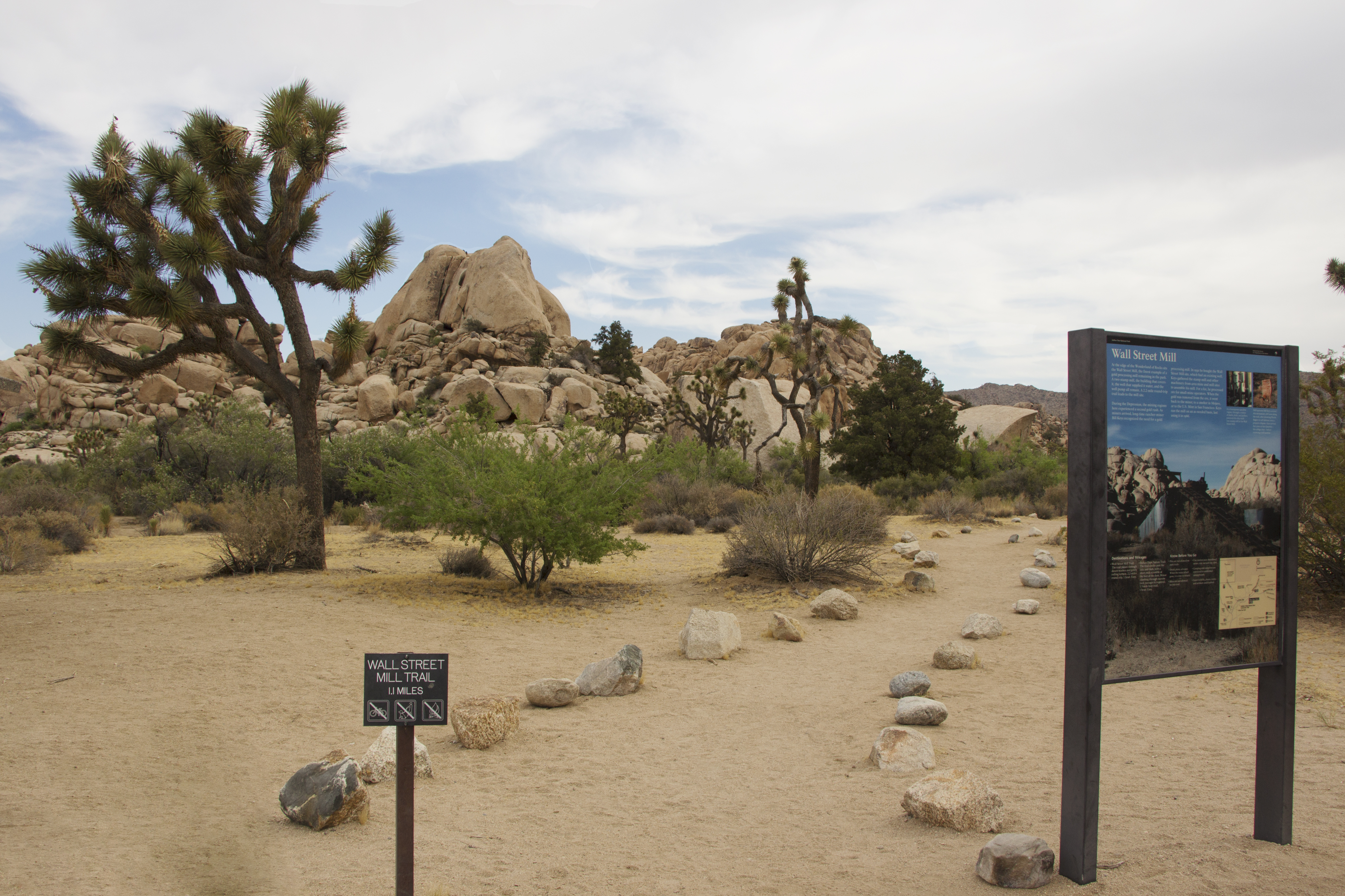
Wall Street Mill is a moderate two mile out and back hike to an old mill site. This mill was used to process gold from local mining operations. At the end of the trail the homestead and mill still stands and there are several old rusted cars around the area. Please leave all artifacts for future visitors to enjoy as well.
The trailhead starts just east of the Barker Dam area from a dirt parking lot off of Queen Valley Road.
This trail has little shade and no cell service. Always check the weather forecast before heading into the park and consider changing plans if the weather conditions are too extreme. Before hiking, tell a safety buddy where you are going and when you plan on leaving the park.
Pets Pets are not allowed on this trail but can be walked on nearby dirt roads including Bighorn Pass Road. Pets can also be walked in campgrounds including Hidden Valley Campground.
Accessibility Pets are not allowed on this trail, but service animals are welcome. Service animals must remain on a 6-foot (1.8 meter) leash at all times. This trail is sandy without obstacles to climb with just 80 feet of elevation gain.