
Split Rock Loop
Hike Split Rock 2.5 mi loop · the Park Service's write-up
90-150 Minutes · no dogs · Winter, Spring, Fall · season The summer heat is extreme and can be dangerous. This trail is not recommended in the summer.
Start Split Rock Trailhead
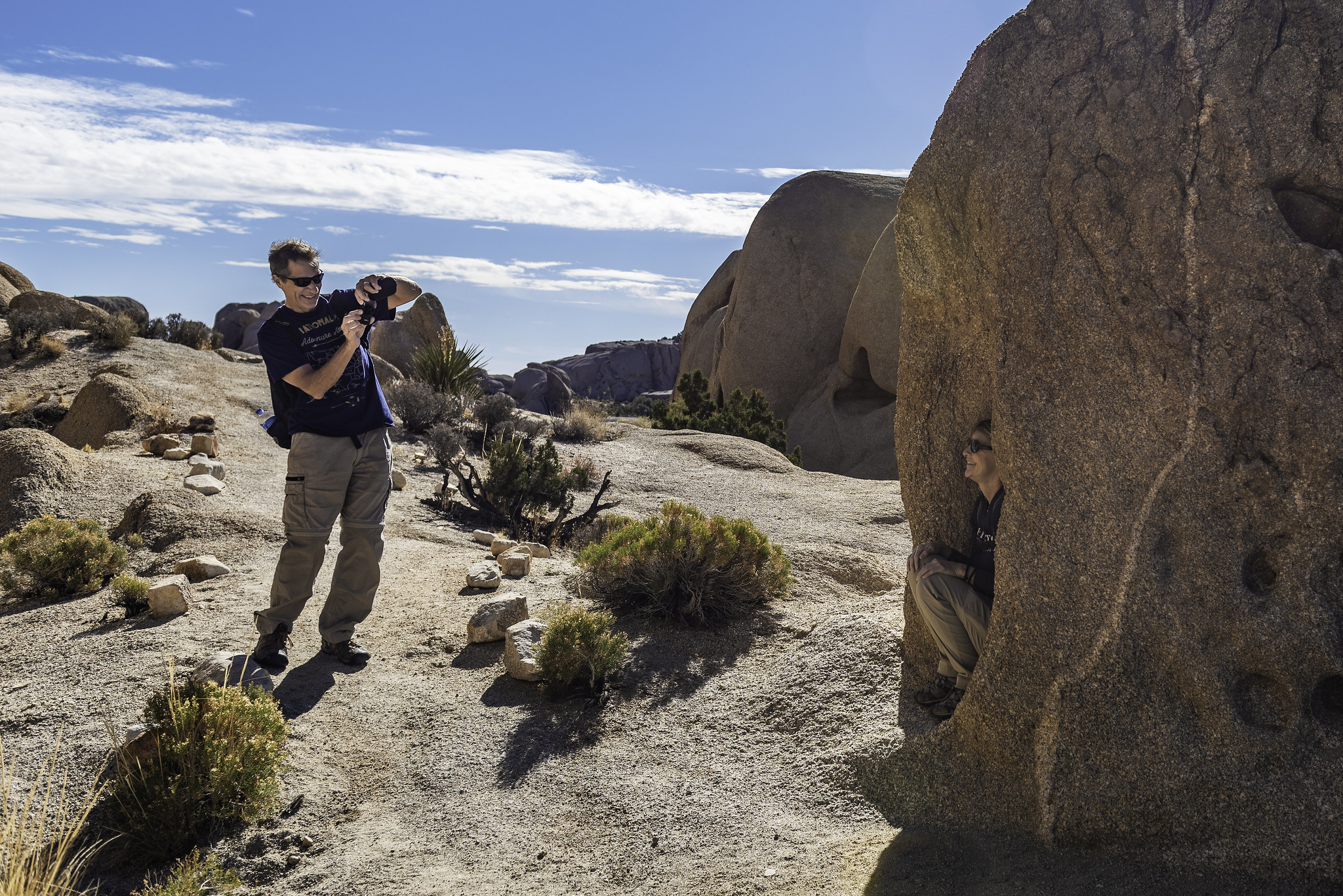
Split Rock is a 2.5 mile loop trail with 150 feet of elevation gain. The trail moves through washes, over rocks, and past large boulders. The rock formations highlight the park's geologic forces and can be fun for hikers of all ages.
Hikers looking for a longer trail experience can take the Face Rock Spur Trail to the Discovery Trail and all the way to the Skull Rock Trail. Linking up the Split Rock, Discovery, and Skull Rock Trails creates an approximately 5-6 mile hike. Hikers should only link trails if they have a map and good navigation skills.
This trail has no shade and no cell service. Summer hikers should start this trail before 9 am and bring plenty of water. Always check the weather forecast before heading into the park and consider changing plans if the weather conditions are too extreme. Hikers should always tell a safety buddy where they are going and when they plan on leaving the park.
Pets Pets and emotion support animals are not allowed on trails in Joshua Tree National Park but service animals are welcome. The closest campgrounds are Jumbo Rocks and Belle and both are great places to walk a pet.
Accessibility Service animals are allowed on this trail but must remain on a 6-foot (1.8 meter) leash at all times. The terrain is varied and includes deep sandy and rocky sections. This trail is not wheelchair accessible.