
Skull Rock Nature
Hike Skull Rock 1.7 mi loop · the Park Service's write-up
1-2 Hours · no dogs · Winter, Spring, Fall · season The park is dangerously hot in the summer. If hiking in the summer, get to the trailhead before 10 am and always let a safety buddy know where you are going and when you plan on leaving the park. There is no cell service and no running water on the Skull Rock Trail. Always check the weather before heading into the park, and consider delaying your hike if the weather conditions are too extreme.
Start Skull Rock Trailhead
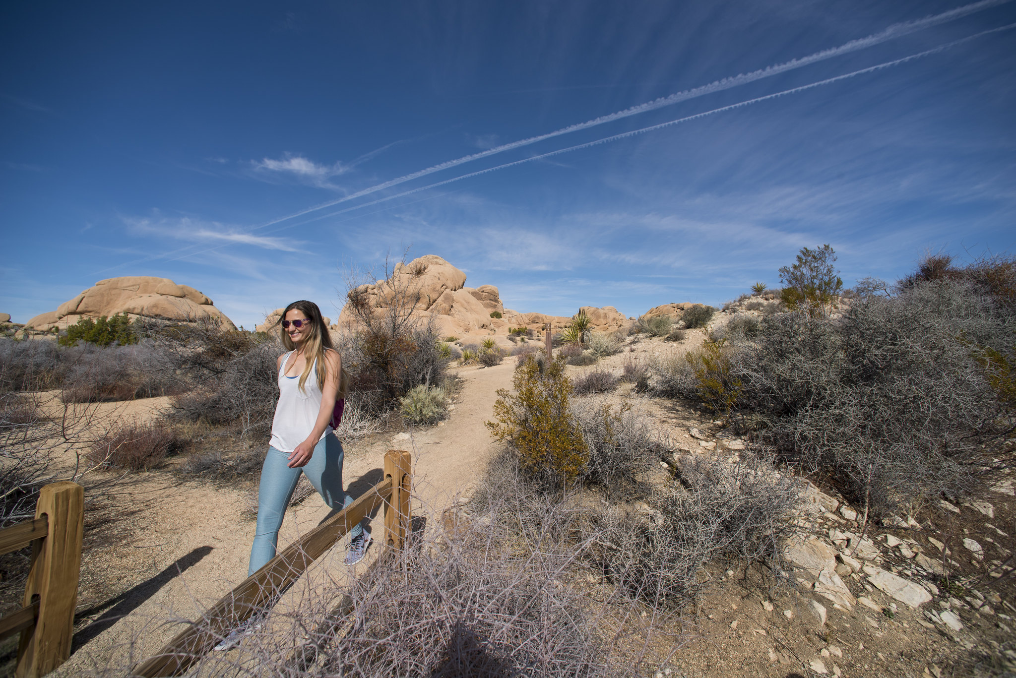
Hike through the large, granite boulder fields around the Jumbo Rocks area, including the namesake rock near Park Boulevard that closely resembles a skull. The trail meanders through boulders, washes, and the Jumbo Rocks Campground. This is an excellent trail for anyone who wants to get up close to the rough granitic rock formations that Jumbo Rocks Campground was named after.
Hikers can pick up the trail in a few areas, but the most common trailhead is the one at the Skull Rock Parking Area. The loop can be hiked in either direction, but we'll describe the trail in the clockwise direction starting from the Skull Rock Parking Area. The first highlight, only about 70 feet from the road, is the namesake Skull Rock. This large boulder has a few cavities that resemble the eye and nose sockets of a skull and is hard to miss. Next, the trail moves past the southwest (right) side of Skull Rock and turns towards the right, eventually meeting up with a road in Jumbo Rocks Campground. Hikers should turn right onto this campground road and head toward the campground entrance, where the trail intersects with Park Boulevard. The trail crosses Park Boulevard, meandering back into the desert landscape, and eventually turns back towards the east (left), heading back to the parking area. The trail is mostly sandy and occasionally crosses a hard rock surface.
The Discovery Trail connects The Skull Rock Trail with the Split Rock Loop for approximately 5-6 miles of hiking for those who enjoy longer hikes.
This trail has no cell service and almost no shade. Summer hikers should start this trail before 10 am and bring plenty of water. Always check the weather forecast before heading into the park and consider changing plans if the weather conditions are too extreme. Hikers should always tell a safety buddy where they are going and when they plan on leaving the park.
Pets Pets and emotional support animals are allowed in Jumbo Rocks Campground and must be on-lesh. Pets are not allowed on trails or in the backcountry. Please help us protect our wildlife by walking pets on-leash in campgrounds or on dirt roads.
Accessibility The Skull Rock Trail contains various terrain types, including deep sand, hard pack dirt, and uneven rocky surfaces. The trail is relatively flat and has a 150 feet total elevation change. The trail widens to a 6+ feet across in some areas but is as narrow as 2 feet in certain areas. A section of the trail near the Jumbo Rocks Campground has rocky steps that ascend about 20-40 feet of elevation. The trail is not accessible for people using wheelchairs. Some wheelchair users are comfortable on the section of the trail that merges with the Jumbo Rock campground road. However, this road is uneven and often covered in rocks and sand and is not accessible for every type of wheelchair. Pets and emotional support animals are not allowed on trails, but service animals are welcome. Service animals must remain on a 6-foot (1.8 meter) leash at all times.