
Panorama
Hike Panorama Loop Trail the Park Service's write-up
3-5 Hours · no dogs · Winter, Spring, Fall · season The summer heat can be deadly. This trail is not recommended during the summer. If hiking during high heat, get to the trailhead before 9 am and always let a safety buddy know where you are going and when you plan on leaving the park. Cell service is unreliable and cannot be garaunteed. There is also no running water. Always check the weather before heading into the park, and consider delaying your hike if the weather conditions are too extreme.
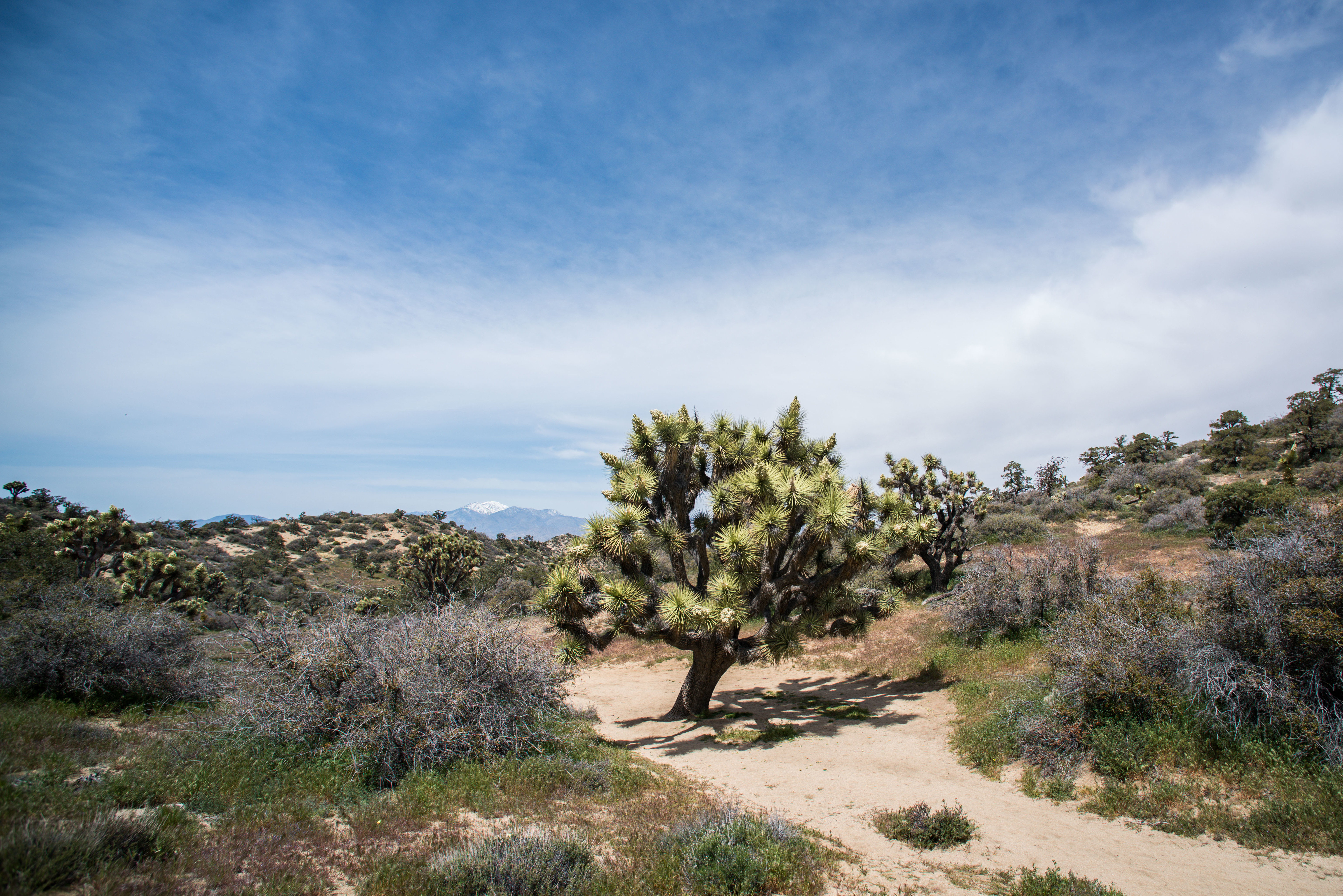
Hike up a sandy wash, then follow the ridgeline of the Little San Bernardino Mountains. Enjoy scenic views, dense Joshua tree forest, and pinyon-juniper woodland. This trail is 6.6 miles and has over a 1,000 feet of elevation gain. Warren Peak can be reached from a spur-trail off of the Panorama Loop. Bring a good map when hiking in the Black Rock area because there are many trails that crisscross and intersect.
There are a few parking areas around the Black Rock Campground and Nature Center for hikers. Parking in the campground area can fill up on busy days. Hikers cannot park in a campsite unless they have reserved that campsite. To find the trailhead, hike south from the Black Rock Nature Center, in the uphill direction. At the end of the campground, find the trail sign for panorama loop and start up the washy trail.
This trail has limited shade and unreliable cell service. Always check the weather forecast before heading into the park and consider changing plans if the weather conditions are too extreme. Hikers should always tell a safety buddy where they are going and when they plan on leaving the park.
Pets Pets and emotional support animals are not allowed on this trail but they can be walked around the Black Rock Campground.
Accessibility This trail contains various terrain types, including deep sand, hard pack dirt, and uneven rocky surfaces. The trail has steep sections and over 1,000 feet of total elevation change. The trail widens to a 4 feet across in some areas but is as narrow as 2 feet in certain areas. The trail is not accessible for people using wheelchairs. Pets and emotional support animals are not allowed on trails, but service animals are welcome. Service animals must remain on a 6-foot (1.8 meter) leash at all times.