
Minerva-Hoyt
Hike Hidden Valley Trail the Park Service's write-up
30-60 Minutes · no dogs · season Temperatures regularly exceed 100°F in the summer, it is recommended to take at least one liter of water per person during the summer.
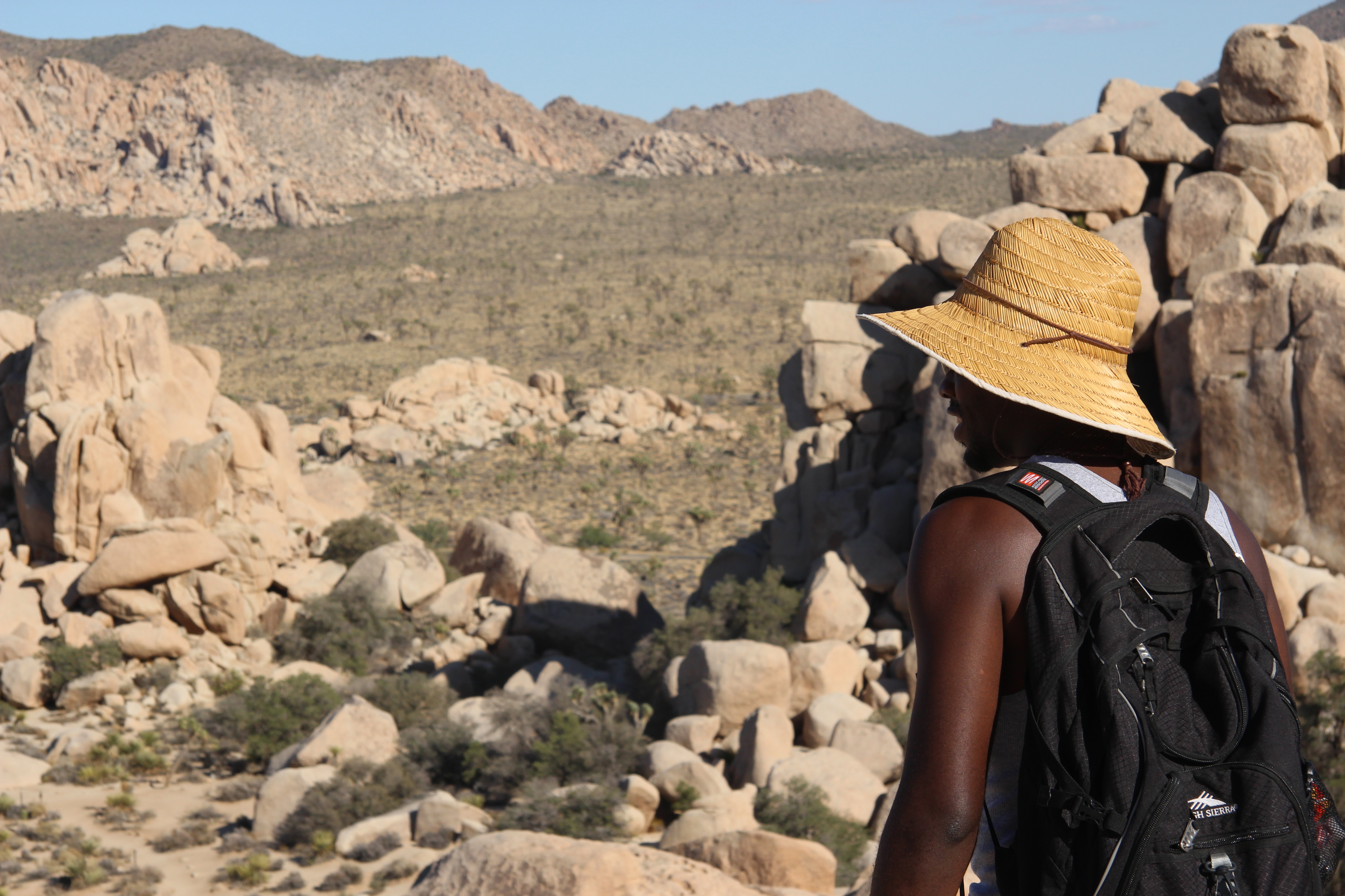
Hidden Valley Trail is an easy one mile hike. The trail starts near the Hidden Valley Picnic Area and gains 100 feet of elevation as it makes a loop around Hidden Valley, which was rumored to have once been used by cattle rustlers. There are interpretive signs along the way providing information on the area and its plants and wildlife.
This trail has little shade and no cell service. Always check the weather forecast before heading into the park and consider changing plans if the weather conditions are too extreme. Before hiking, tell a safety buddy where you are going and when you plan on leaving the park.
Accessibility Pets are not allowed on this trail, but service animals are welcome. Service animals must remain on a 6-foot (1.8 meter) leash at all times. This trail meanders through a variety of terrain including hard pack dirt, soft sand, gravel, rocks, boulders, and other obstacles. Some boulders have steps, other small boulders do not. The trail is roughly 1.5–3 ft wide, with a few steep sections and an approximate 100 feet of elevation gain. The trail has an average grade of 4% and a max grade of 19%.
Hike Minerva Hoyt Trail 3 mi round trip · the Park Service's write-up
1-2 Hours · no dogs · Winter, Spring, Fall · season Hiking in the summer can be deadly. Always check the weather before hiking and bring plenty of water and appropriate clothing and sun protection. Always tell a friend or family member where you are going and when you will return.
Start Minerva Hoyt Trailhead
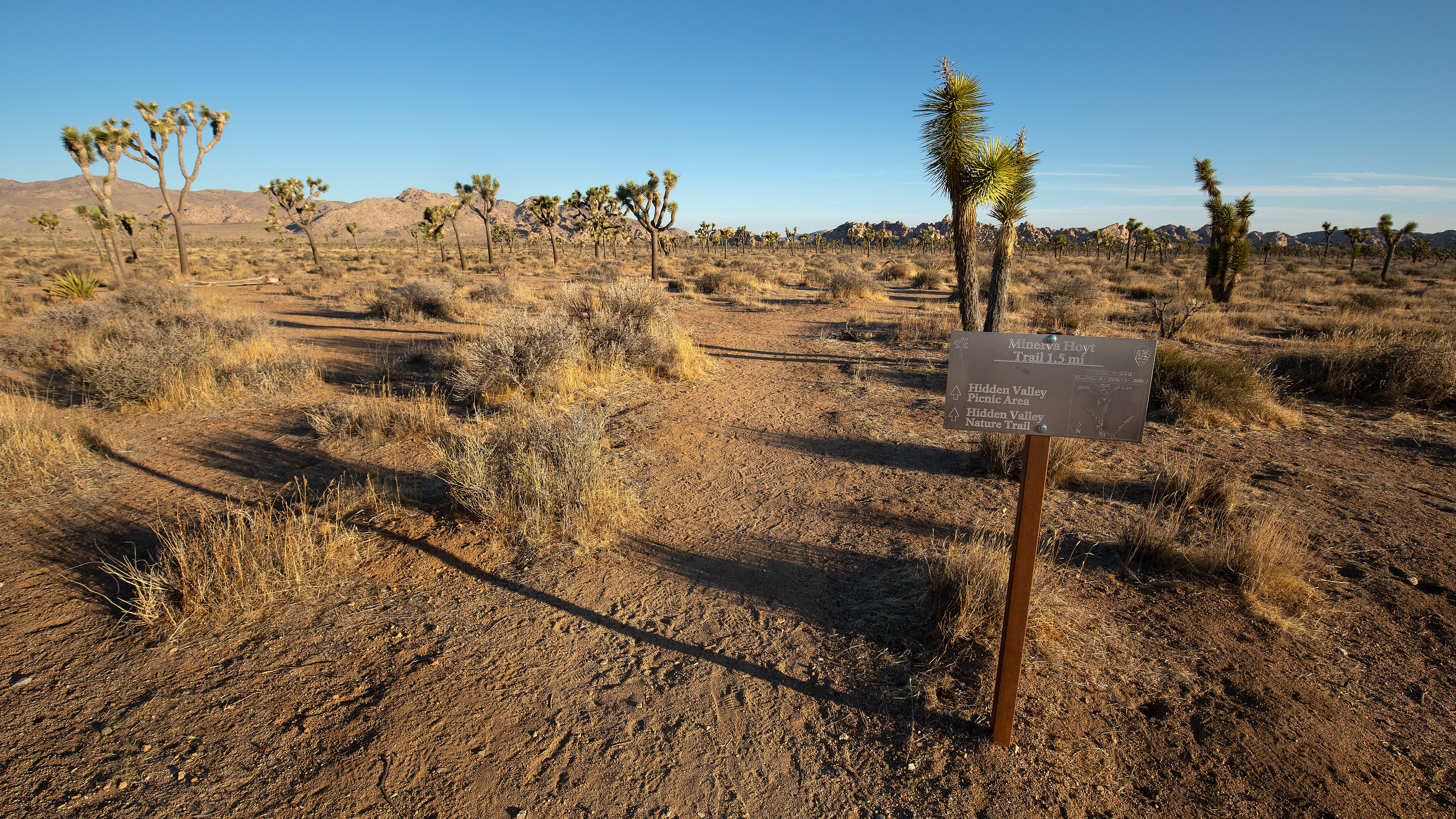
The Minerva Hoyt Trail is an out-and-back hike to the Hidden Valley picnic area. It is 3 miles roundtrip with 100 feet of elevation gain. From the parking lot, the trail follows an old road before it takes a sharp right towards Hidden Valley. The hike goes through a valley of Joshua trees with excellent views of unique rock formations and mountains in the distance. It can be combined with the 1-mile Hidden Valley Nature Trail to create a 4-mile “lollipop” loop.
The trail is named after Minerva Hoyt, the founding force behind Joshua Tree National Park. She lobbied congress and President FDR to preserve the area. Her efforts helped the park become designated as a National Monument in 1936. It later became a National Park in 1994.
Pets Pets and emotional support animals are not allowed on this trail, but service animals are welcome. Service animals must remain on a 6-foot (1.8 meter) leash at all times.
Accessibility This is a dirt trail with both hard packed and sandy sections. Pets and emotional support animals are not allowed on this trail, but service animals are welcome. Service animals must remain on a 6-foot (1.8 meter) leash at all times.