
Lost Palms Oasis
Hike Lost Palms Oasis 7.5 mi out and back · the Park Service's write-up
4-6 Hours · no dogs · Winter, Spring, Fall · season <p>This hike has very little shade and is not recommended to do during the summer or anytime that it is hot.</p>
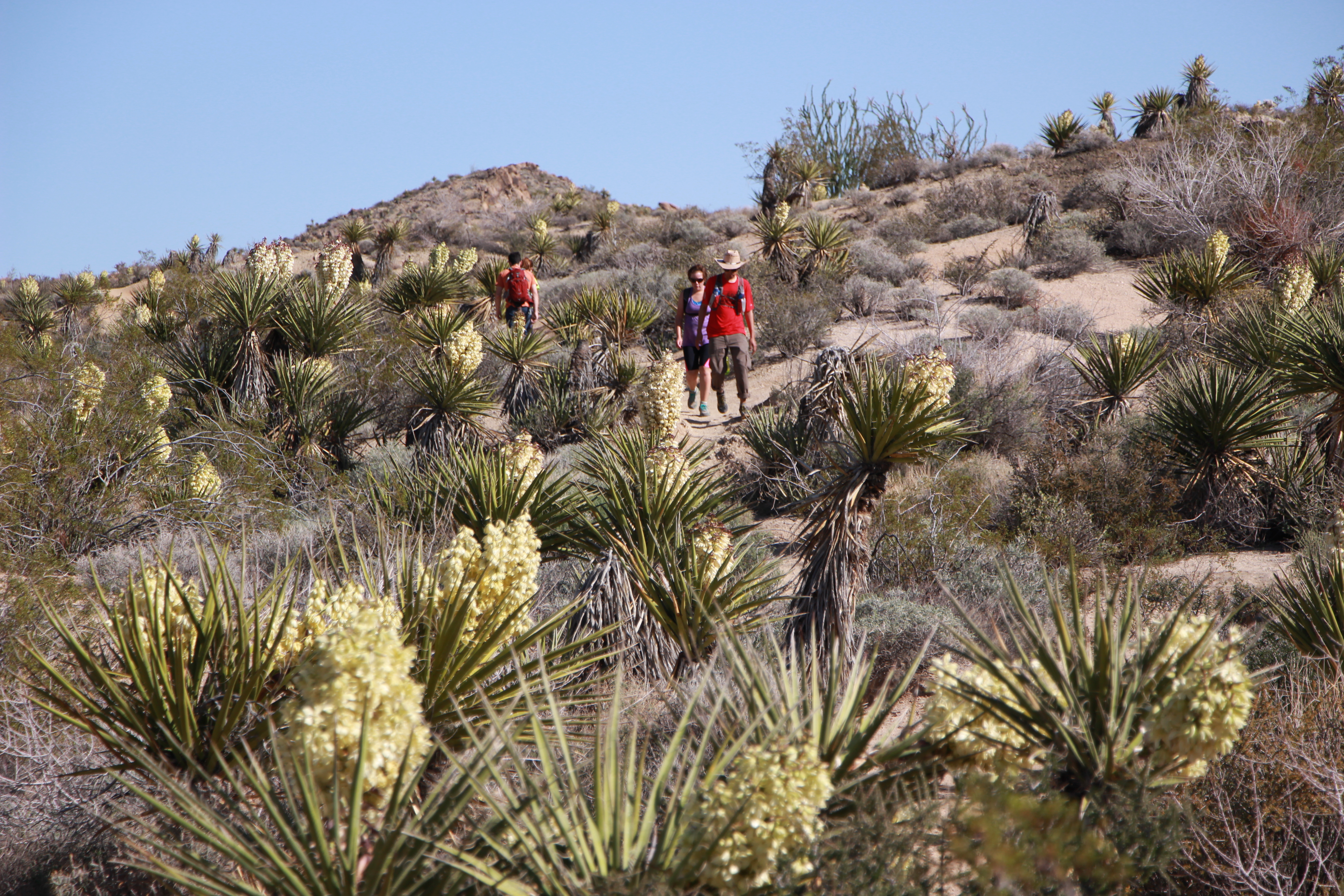
The Lost Palms Oasis Trail is a difficult 7.5 mile out and back hike with 500 feet of elevation. Starting from Cottonwood Spring, most of this hike is on rolling hills through the desert before climbing down into the Lost Palms Canyon to reach the oasis. This last section of the trail to reach the oasis gets rocky and is a strenuous climb to get back out. Hikers that make it to the oasis are rewarded with a unique desert oasis full of fan palms and a high number of desert plants that can attract an array of wildlife.
This hike can be combined with Mastodon Peak for a longer hike.
Accessibility This trail is a mix of dirt, sand, and rock. Most of the trail is rolling hills, but at the end to enter the canyon it becomes steep with rocky steps and can require some scrambling over rock to reach the oasis. Pets are not allowed on this trail, but service animals are welcome. Service animals must remain on a 6-foot (1.8 meter) leash at all times.
Hike Mastodon Peak the Park Service's write-up
2-3 Hours · no dogs · Winter, Spring, Fall · season <p>Use caution during the summer or whenever it is hot on this hike. During high temperatures it is best to avoid hiking in the middle of the day. Summer hikers should start this trail before 9 am and bring plenty of water.</p>
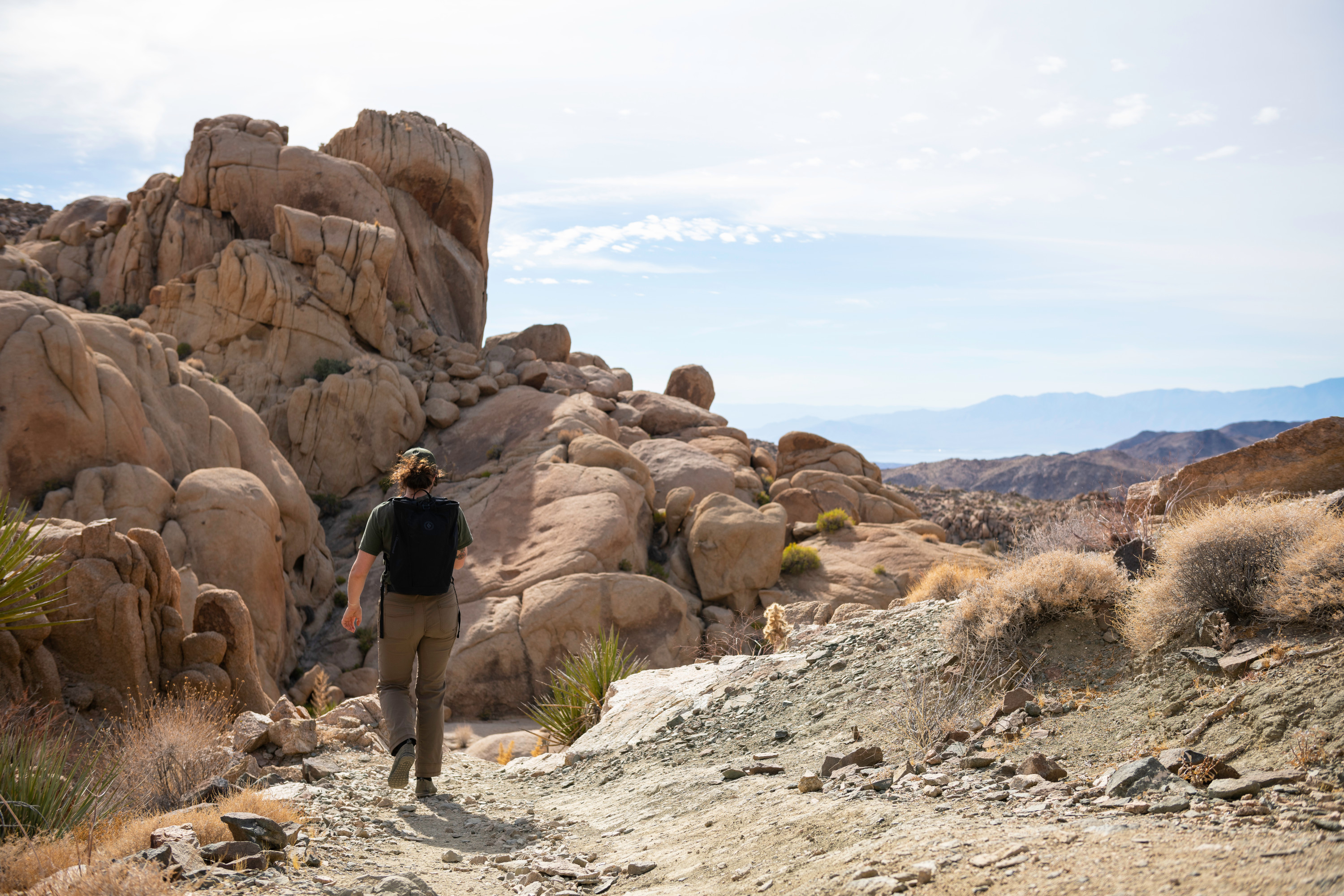
Mastodon Peak is a moderate three mile loop with 375 feet of elevation gain. This hike starts from the Cottonwood Spring Oasis parking lot and starts on the Lost Palms Oasis Trail by Cottonwood Spring before splitting off to the left on the Mastodon Peak Loop. This hike provides great views of the southern portion of the park and includes an option scramble up to the top of the craggy granite peak.
This hike can be combined with the Lost Palms Oasis Trail for a longer hike.
This trail has no shade and no cell service. Always check the weather forecast before heading into the park and consider changing plans if the weather conditions are too extreme. Before hiking, tell a safety buddy where you are going and when you plan on leaving the park. Summer hikers should start this trail before 9 am and bring plenty of water.
Pets Pets are not allowed on this trail. Pets can be walked nearby at Cottonwood Campground or along one of the park's many dirt roads.
Accessibility This trail is a mix of dirt, sand, and rock and includes steep sections with rock. There is an option scramble up rocks and boulders if you would like to reach the highest point. Pets are not allowed on this trail, but service animals are welcome. Service animals must remain on a 6-foot (1.8 meter) leash at all times.