
Lost Horse Loop
Hike Lost Horse Mine 6.8 mi loop · the Park Service's write-up
2-4 Hours · no dogs · Winter, Spring, Fall
Start Lost Horse Mine Trailhead
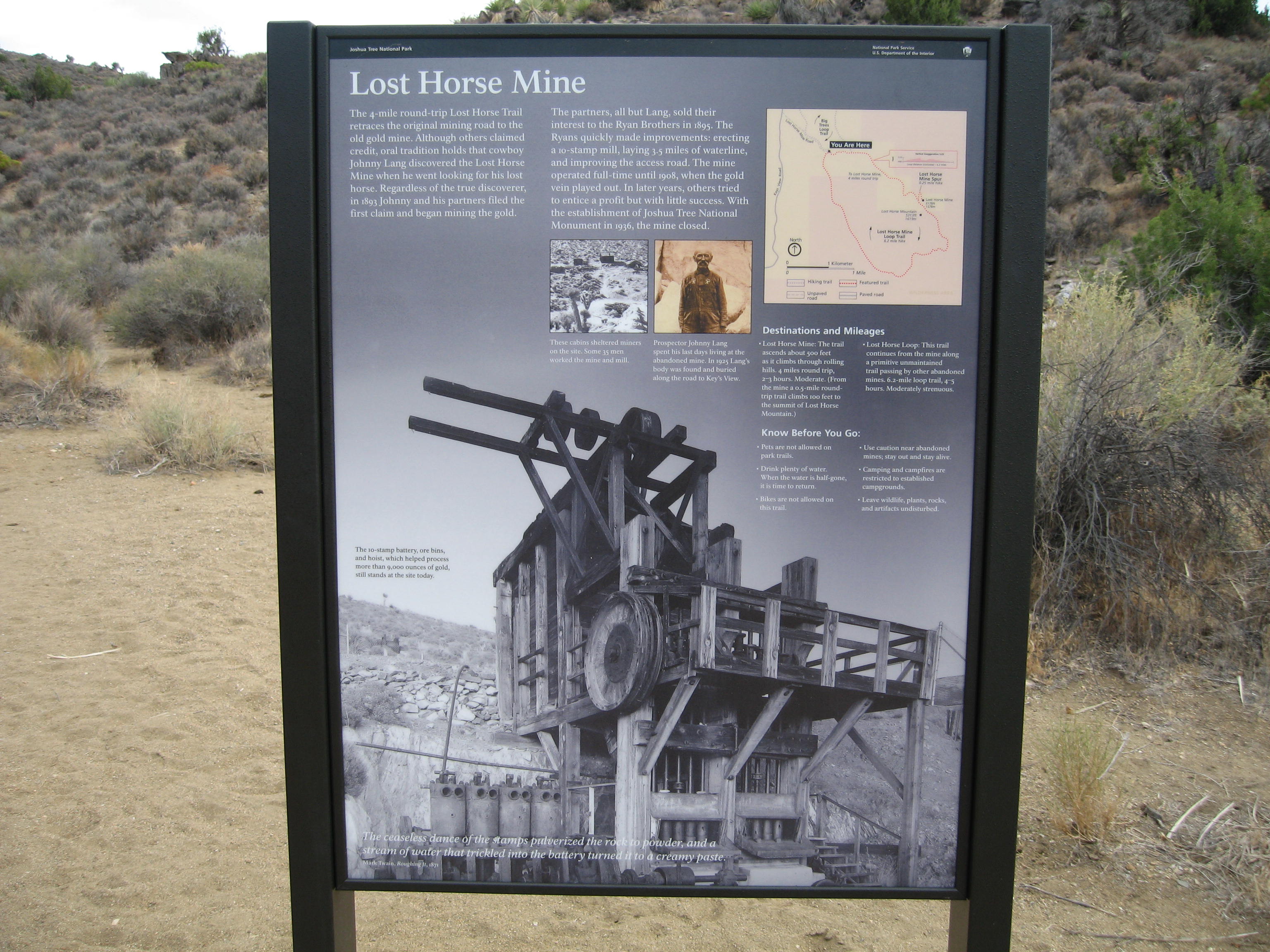
The Lost Horse Mine Trail is a 6.8-mile loop with 900 feet of total elevation gain. The trail showcases the rich mining history of Joshua Tree. Along the trail, you will see a stamp mill, mining equipment and artifacts, and the remnants of an old cabin. Please stay out of the fenced-off milling site and any closed-off mines. It is illegal to remove any historic artifacts from the area.
The hike can be shortened by walking to the stamp mill site then back down to the parking lot instead of completing the loop. This variation is 4 miles roundtrip with 550 feet of elevation gain.
The parking lot at the trailhead is small and fills quickly during busy weekends, holiday times, and spring break. Start early and have a backup hike ready. Do not park alongside the 1-mile dirt road leading to the trailhead.
This trail has limited shade and unreliable cell service. Summer hikers should start this trail before 8 am and bring plenty of water. Always check the weather forecast before heading into the park and consider changing plans if the weather conditions are too extreme. Hikers should always tell a safety buddy where they are going and when they plan on leaving the park.
Pets Pets and emotional support animals are not allowed on trails, but service animals are welcome. Service animals must remain on a 6-foot (1.8 meter) leash at all times.
Accessibility This trail contains various terrain types, including deep sand, hard pack dirt, uneven rocky surfaces, steep inclines and installed rock steps. It is not accessible for people using wheelchairs. Pets and emotional support animals are not allowed on trails, but service animals are welcome. Service animals must remain on a 6-foot (1.8 meter) leash at all times.