
Indian Cove Nature
Hike Indian Cove Trail 0.6 mi loop · the Park Service's write-up
30-45 Minutes · no dogs · season Temperatures regularly exceed 100°F in the summer, it is recommended to take at least one liter of water per person during the summer.
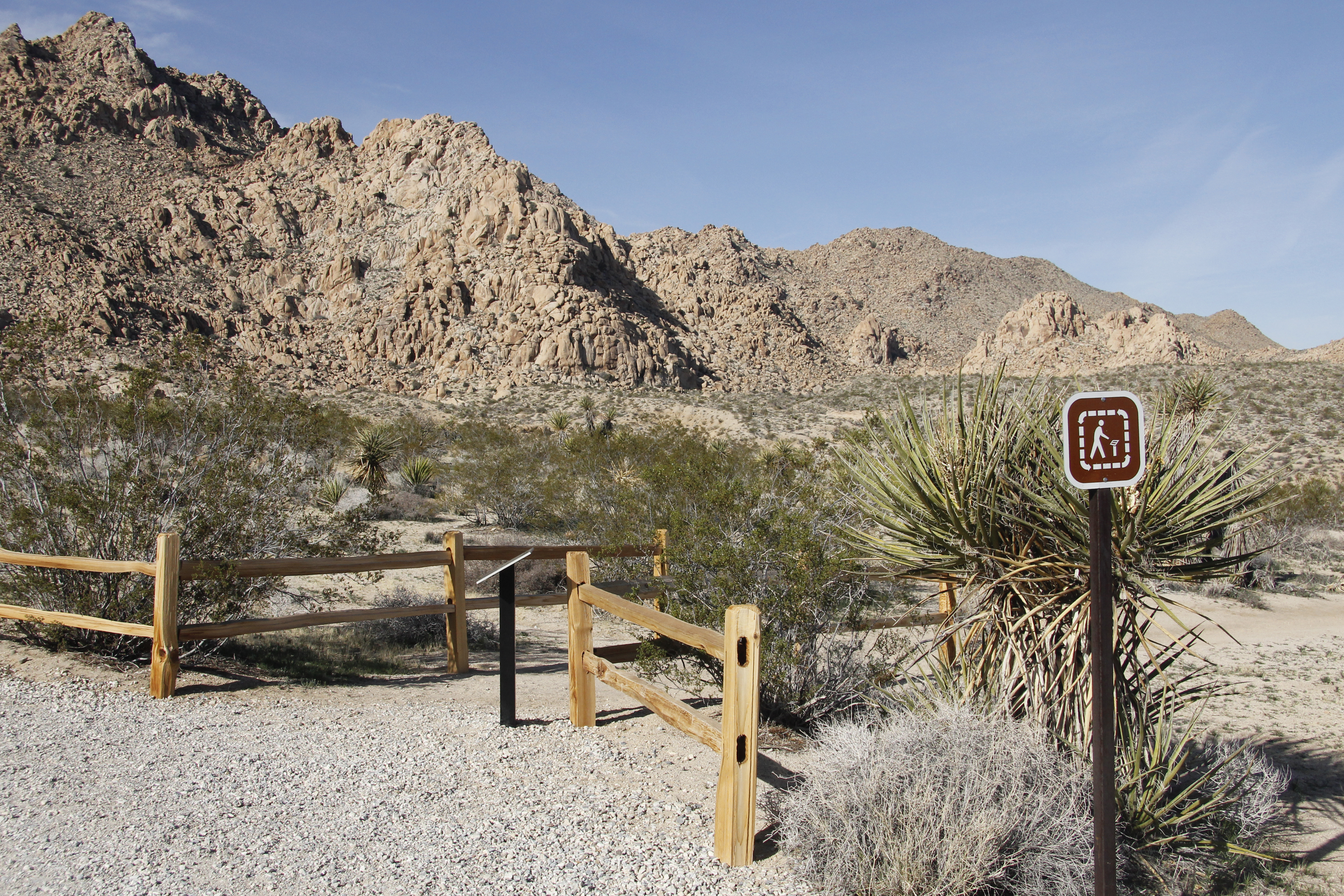
The Indian Cove Trail is an easy .6 mile loop with 50 feet of elevation gain. The trailhead located at the west end of the Indian Cove Campground. Interpretive panels are located along the path with information on local plants and their traditional uses by Native Americans.
This trail has no shade and unreliable cell service. Always check the weather forecast before heading into the park and consider changing plans if the weather conditions are too extreme. Before hiking, tell a safety buddy where you are going and when you plan on leaving the park.
Pets Pets are not allowed on this trail but can be hiked around the roads in Indian Cove Campground.
Accessibility Pets are not allowed on this trail, but service animals are welcome. Service animals must remain on a 6-foot (1.8 meter) leash at all times. There is a variety of terrain on this trail including soft sand. The trail is roughly 1.5–3 ft wide, and is mostly flat with an approximate 100 foot elevation gain, including some stairs.