
Contact Mine
Hike Contact Mine 4 mi round trip · the Park Service's write-up
2-3 Hours · no dogs · Winter, Spring, Fall
Start Contact Mine Trailhead
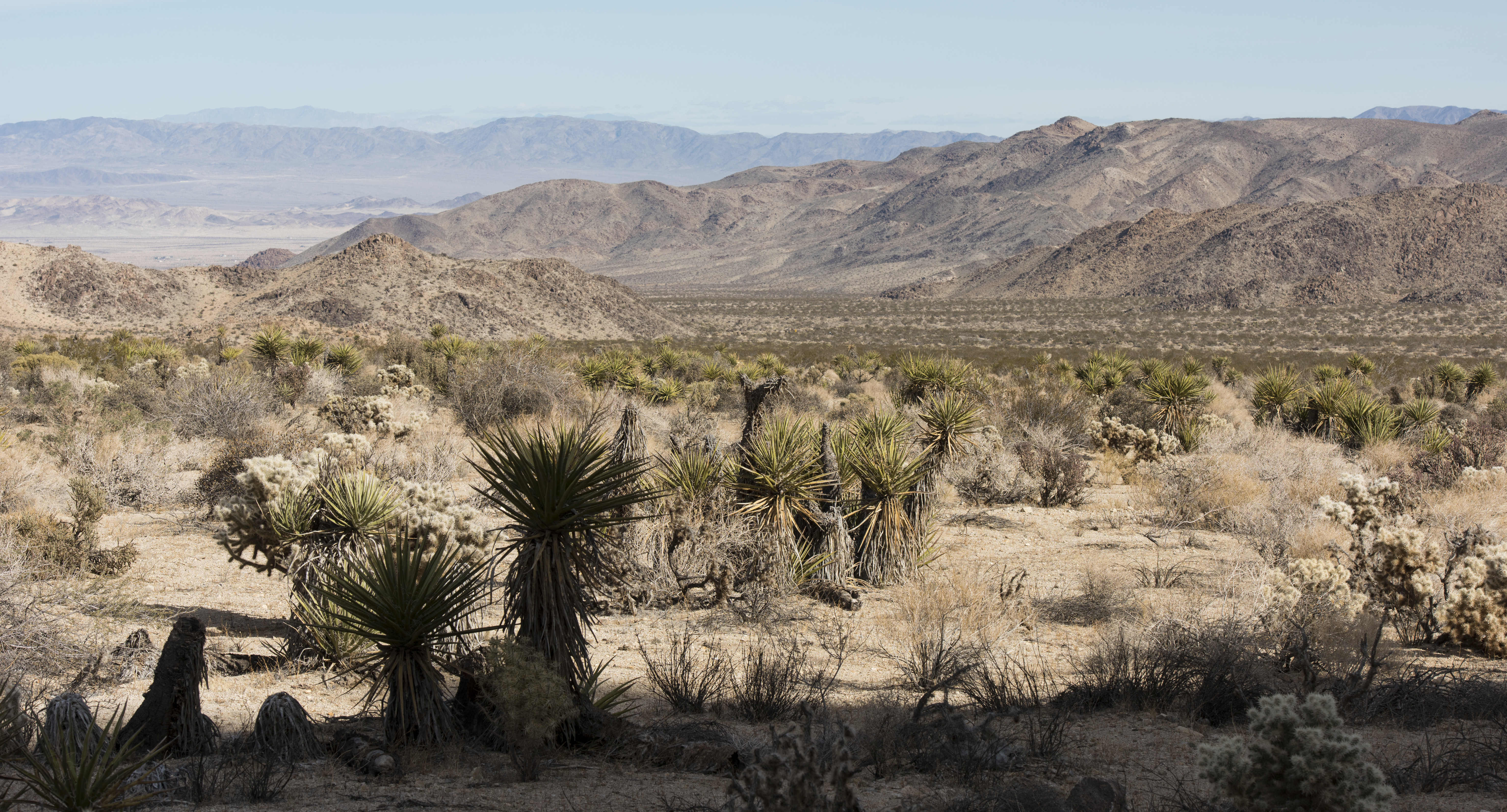
The Contact Mine Trail is an out-and-back hike to a historic mining site. It is 4-miles round trip with 700 feet of elevation gain. The trail begins in a sandy wash then ascends a rocky mountainside to the mine. The hike features expansive views of the surrounding mountains and a chance to view mining artifacts used a century ago. Do not handle or remove any historic artifacts from the site.
This trail is a great option if you are looking to get away from the crowds and enjoy more solitude. After abundant winter rains, this trail offers a vibrant springtime display of wildflowers.
Pets Pets and emotional support animals are not allowed on this trail, but service animals are welcome. Service animals must remain on a 6-foot (1.8 meter) leash at all times.
Accessibility This trail begins in a sandy wash then ascends a rocky mountainside on a hard-packed dirt trail with occasional built-in rock steps. Pets and emotional support animals are not allowed on this trail, but service animals are welcome. Service animals must remain on a 6-foot (1.8 meter) leash at all times.