
Cap Rock
Hike Cap Rock 0.4 mi loop · the Park Service's write-up
15-45 Minutes · no dogs
Start Cap Rock Trailhead
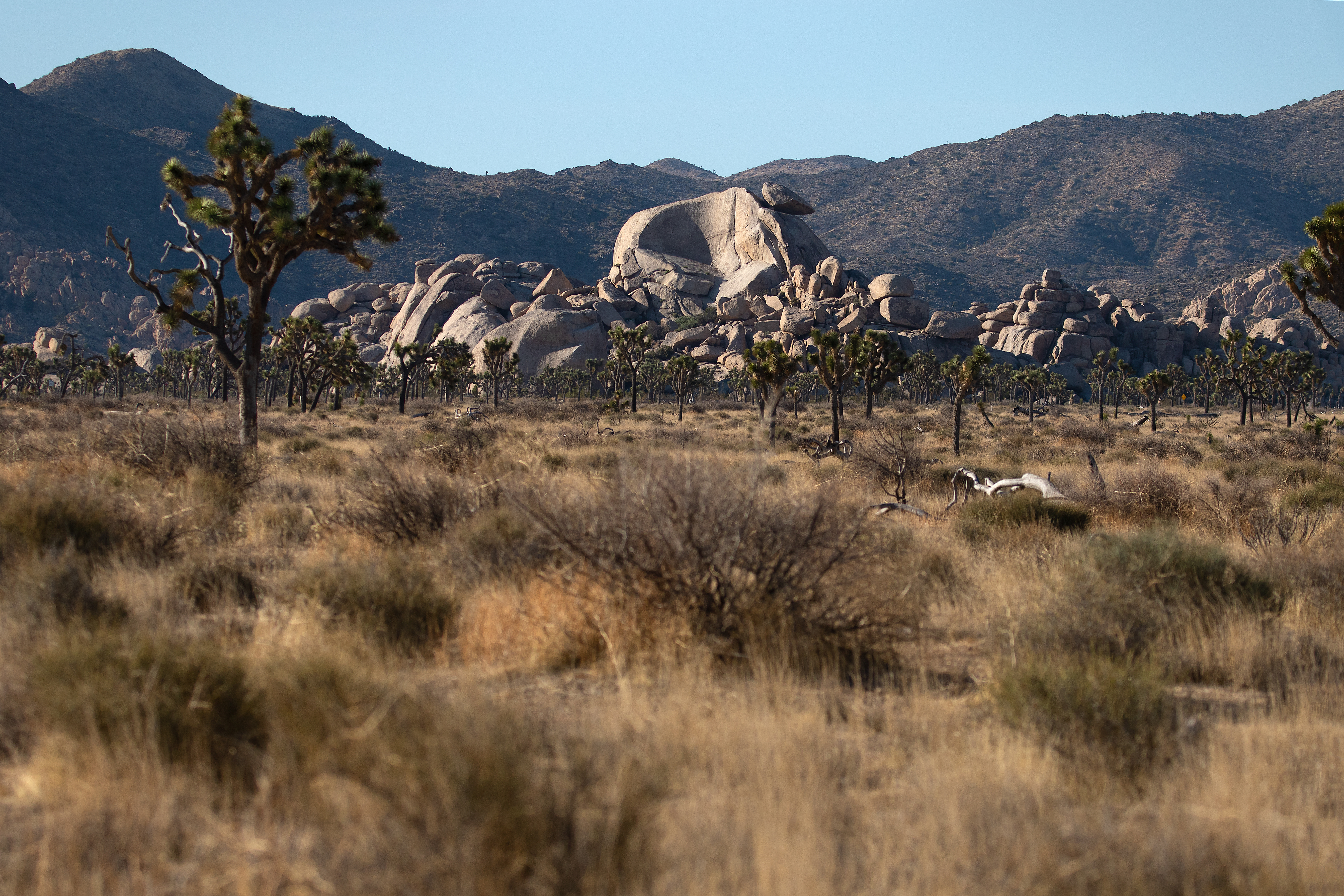
This trail is an easy 0.4-mile (0.6-km) loop with minimal elevation change. It winds through Joshua trees, Mojave yuccas, and spectacular granite rock formations. Along the trail, there are benches to rest on and interpretive signs showing information about plants and wildlife.
There are picnic tables and a bathroom near the trailhead.
This trail has minimal shade and no cell service. Summer hikers should start this trail before 10 am and bring water. Always check the weather forecast before heading into the park and consider changing plans if the weather conditions are too extreme. Before hiking, tell a safety buddy where you are going and when you plan on leaving the park.
Pets Pets and emotional support animals are not allowed on trails, but service animals are welcome. Service animals must remain on a 6-foot (1.8 meter) leash at all times.
Accessibility This is a dirt trail that is mostly flat with occasional mild inclines. Pets are not allowed on this trail, but service animals are welcome. Service animals must remain on a 6-foot (1.8 meter) leash at all times.