
Boy Scout
Hike Boy Scout Trail the Park Service's write-up
1-10 Hours · no dogs · season <p>Use caution if hiking in the summer, the temperature regularly exceeds 100°F (38°C). If hiking in the summer take plenty of water. Summer hikers should start this trail before 10 am, turn around well before they are tired,and avoid hiking during the middle of the day.</p>
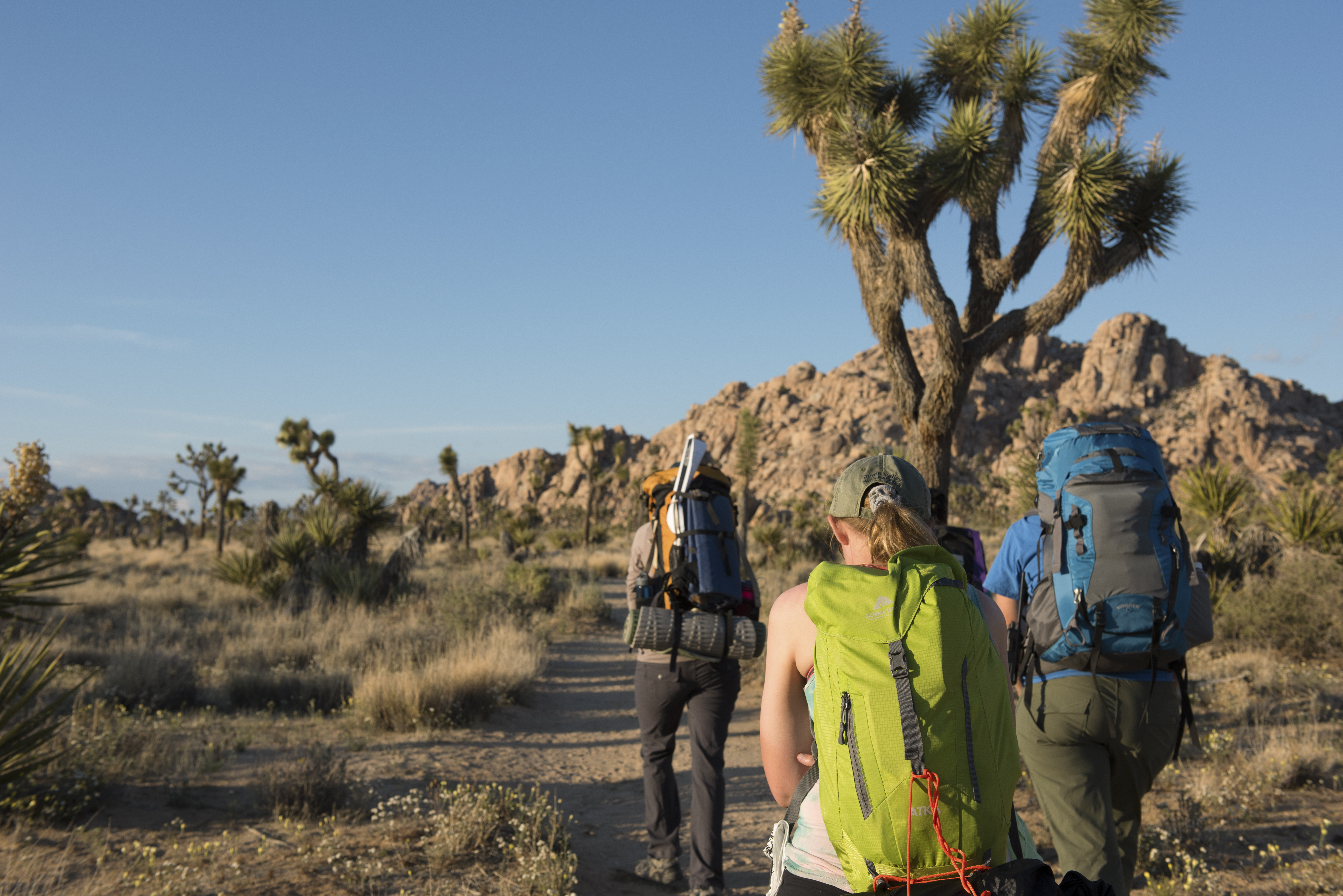
Explore the Wonderland of Rocks on the Boy Scout Trail. The Boy Scout Trail is 8 miles, but many hikers complete shorter sections of the trail and turn around early. Hikes of any length can be a great way to experience the Wonderland of Rocks along the Boy Scout Trail. Start from the Keys West Wilderness Backpacking Board along Park Boulevard and enjoy a hike for as long as you would like.
This trail has little shade and unreliable cell service. Always check the weather forecast before heading into the park and consider changing plans if the weather conditions are too extreme. Before hiking, tell a safety buddy where you are going and when you plan on leaving the park.
Accessibility The Boy Scout Trail is a dirt trail with both hard packed and sandy sections, as well as rocks, vegetations, and other obstacles. Manual wheel chairs are allowed on the trail but it is recommended to check on trail conditions a visitor center first. More information on accessibility is available here . Pets are not allowed on this trail, but service animals are welcome. Service animals must remain on a 6-foot (1.8 meter) leash at all times.