
Barker Dam
Hike Barker Dam Trail 1.1 mi loop · the Park Service's write-up
30-60 Minutes · no dogs · season <p>This hike can be done year round. Summer hikers should be prepared for 100°F temperatures and have at least one liter of water per person.</p>
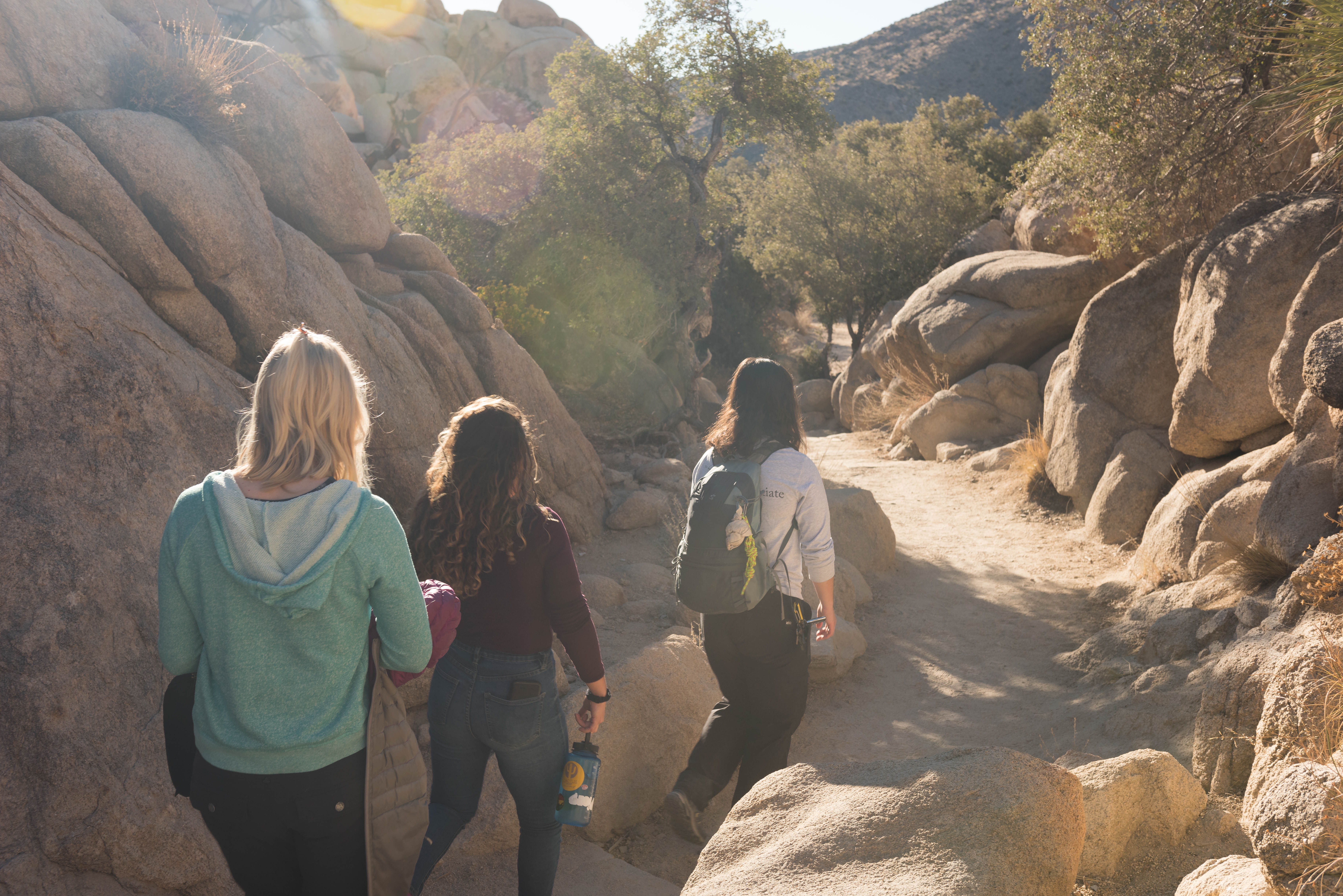
The Barker Dam Trail is a relatively flat, 1.1-mile loop through the Mojave Desert. This trail will take you by monzogranite rock formations and boulders, Joshua trees, a wide range of plant life, the Barker Dam, and a rock art site. After periods of heavy rainfall, the Barker Dam reservoir will occasionally fill with water. Otherwise, the reservoir is typically dry most of the year.
Interpretive signs along the trail provide information about Barker Dam and the plants, animals, and people that call the desert home. The rock art site, a highlight of the trail, tells a story of the desert's human history. Do not climb on or otherwise disturb the rock art and the boulder the rock art lives on. Much of the rock art is not immediately visible and may exist on any portion of the rock, so please refrain from stepping on, climbing on, or touching any part of the rock formation. View the rock art from a respectable distance at the signage for the site.
Accessibility Barker Dam Trail begins on flat, compact dirt, but slowly begins to incline and transitions into granite boulders to step on or over. Some boulders have steps, other small boulders do not. The trail continues to a viewpoint of Barker Dam on top of a flat, granite boulder. From there, it transitions into a tight squeeze between or around boulders, down more granite steps, and into a sandy wash. The trail's average wide is three feet with an average grade of 1% and a max grade of 3%. This trail is not accessible for people using wheelchairs. The park prohibits strollers on this trail to protect the fragile desert ecosystem and prevent trail degradation. Pets are not allowed on this trail, but service animals are welcome. Service animals must remain on a 6-foot (1.8 meter) leash at all times.