
49 Palms Oasis
Hike Fortynine Palms Oasis the Park Service's write-up
2-3 Hours · no dogs · Winter, Spring, Fall · season <p>This hike has little shade and is not recomended during the summer or when it is very hot. Hikers who attempt this trail in the summer should start before 9 am and should bring plenty of water. <br /> <br /> This trail may be closed during the summer to help protect bighorn sheep populations.</p>
Start Fortynine Palms Oasis
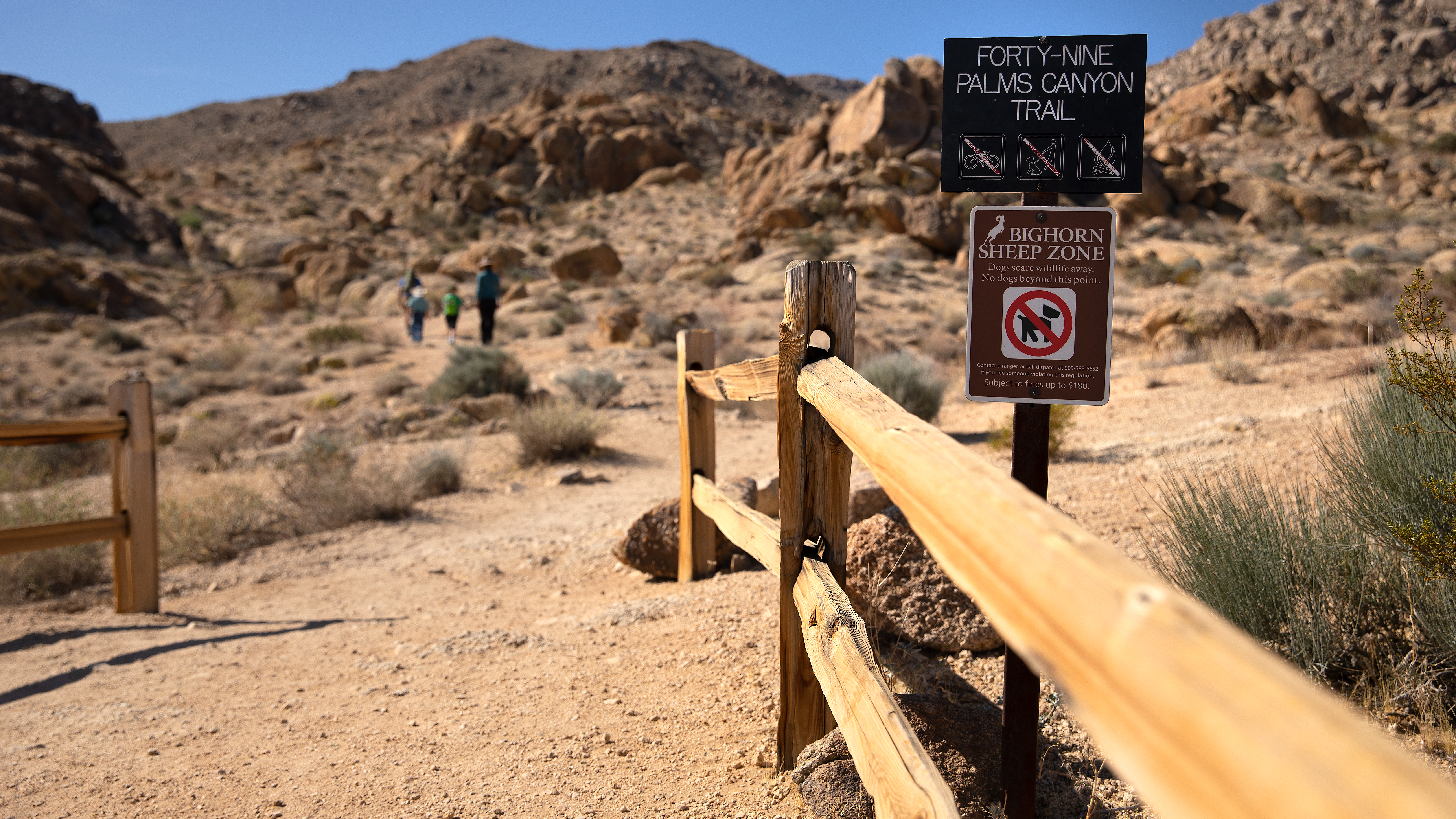
The Fortynine Palms Oasis Trail is a difficult three mile out and back hike with 300 feet of elevation gain in each direction. Located on the northern edge of the park off Highway 62 on Canyon Road, this trail climbs over a ridge and into a desert canyon and oasis. Hikers are rewarded with scenic views, abundant plant life, and the potential to see wildlife.
This oasis is a sensitive biological area, please follow posted signs and do not enter the oasis as this is a crucial water supply for plant and wildlife.
This trail has no shade and no cell service. Always check the weather forecast before heading into the park and consider changing plans if the weather conditions are too extreme. Before hiking, tell a safety buddy where you are going and when you plan on leaving the park.
Pets Pets are not allowed on this trail. Pets can be walked around the Oasis of Mara path in the town of Twentynine Palms.
Accessibility This trail is a mix of dirt, sand, and rock. This trail climbs over steep ridges with steps in both directions Pets are not allowed on this trail, but service animals are welcome. Service animals must remain on a 6-foot (1.8 meter) leash at all times.