
Stoll Trail
Stoll Memorial Trail (Scoville Point) the Park Service's write-up
1-6 Hours · no dogs · Summer
Start Rock Harbor Area
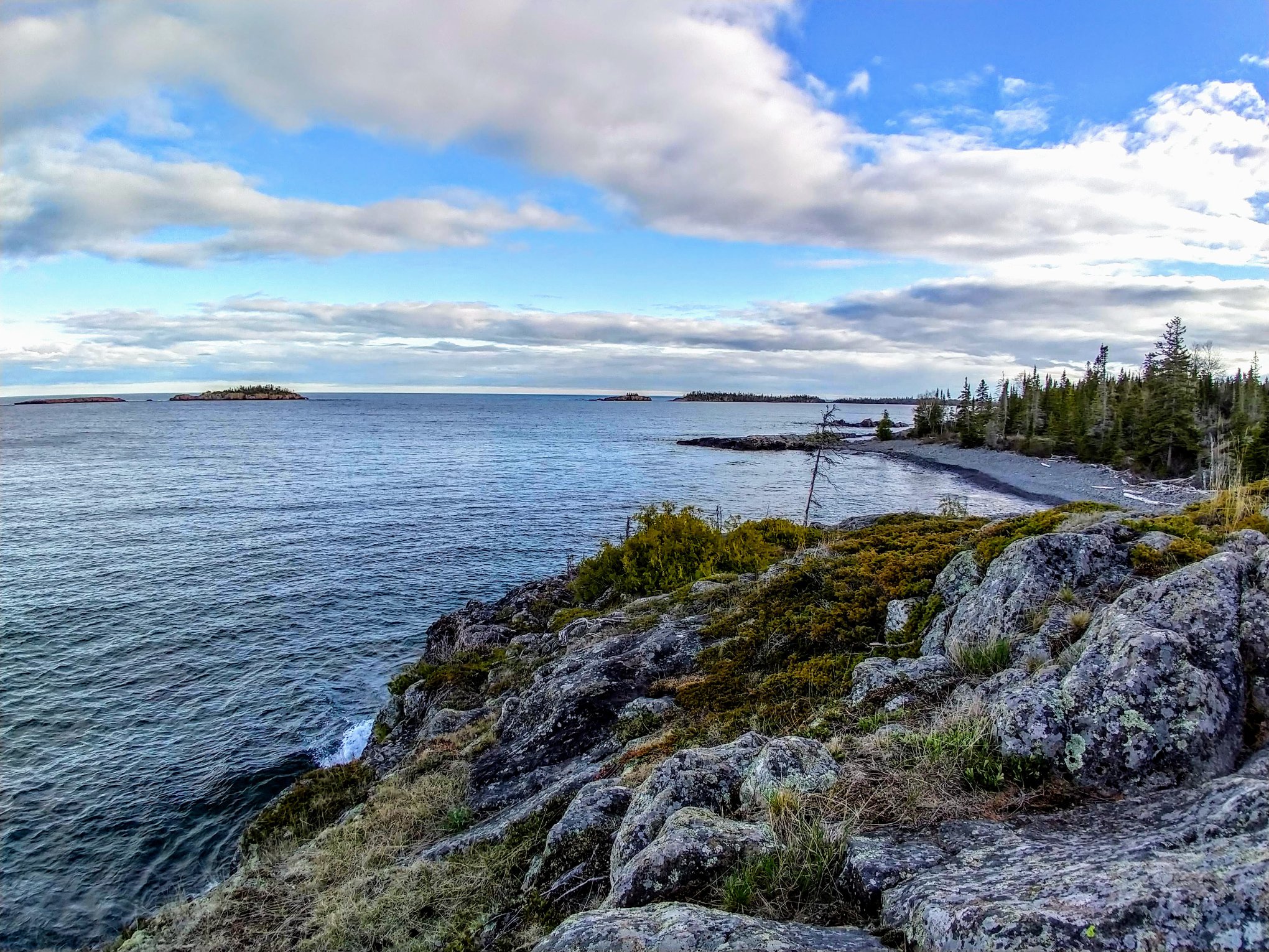
This figure eight shaped trail offers the experience of a primarily wooded setting on the Tobin Harbor side, and a rocky, exposed setting on the Rock Harbor side. At the end of the trail, both paths converge for the last half mile to ascend the rocky face of Scoville Point. Two return loops alow great versatility regarding the length and duration.
Trailheads: The Rock Harbor section starts at the trailhead just past the Rock Harbor Recreation Hall and the Rock Harbor Lodge Ojibway building. The Tobin Harbor section starts at the sign pointing to 'Smithwick Mine' behind the Rock Harbor Audtorium.
Pets ADA service dogs are welcome on Isle Royale. For each visit to the park, you must have an approved veterinary certificate on file with the park before your service dog may be brought within Isle Royale National Park boundaries (which extend 4.5 miles from the archipelago shoreline into Lake Superior).
Accessibility Trail is composed of footpaths and elevated boardwalks that require steps to access. There are also steps carved into the rock formation at the end of the trail that can be moderately difficult to climb, and a steep slope down to a bridge close to the trailhead on the Rock Harbor side. Overall, the Tobin Harbor sides of the trail are relatively smooth, while the Rock Harbor sides are rocky and more difficult to maintain footing.