
Minong Ridge Trail
Campgrounds
Along the way McCargoe Cove Todd Harbor
Hike the Huginnin Loop the Park Service's write-up
4-8 Hours · no dogs · Spring, Summer, Fall
Start Hugunnin Cove Trail at Isle Royale National Park
About this Trail
Total Mileage: about 8.2 miles (including spur trail to Windigo area)
Rating: beginner backpackers or experienced day hikers
Rocks and roots on trail
Changing trail conditions require a map, compass, and navigation skills
Boardwalks slippery when wet
Trailheads
Windigo
Minong Ridge Trail
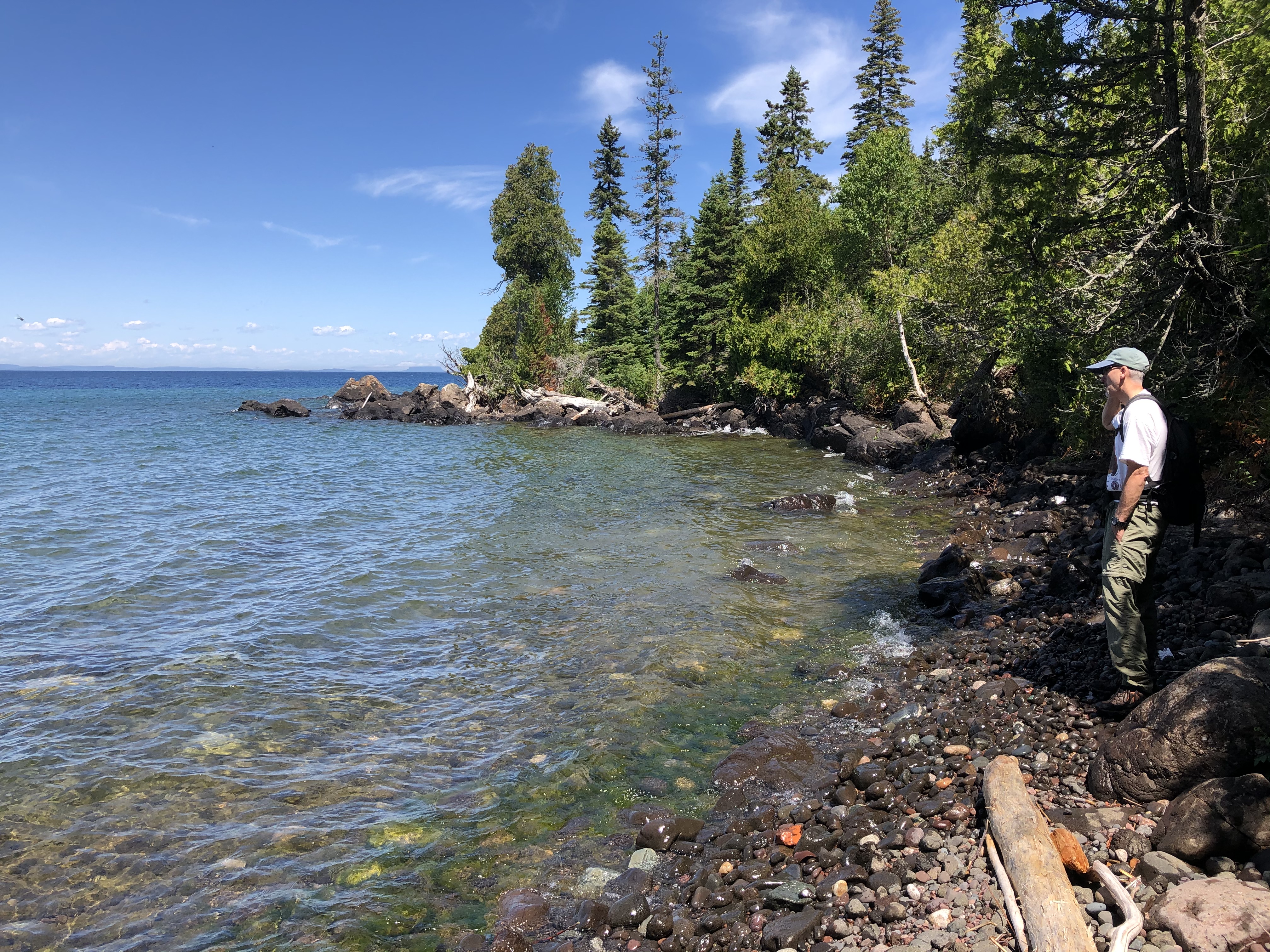
The Huginnin Cove Loop can be done as a day hike or an overnight backpacking trip. The two sides of the Loop are different and both lead to the Huginnin Cove Campground located on the north shore of Isle Royale.
West Huginnin
Mileage : about 3.1 miles
This section of the loop is a shorter distance to the campground. The start of the hike hugs Washington Harbor and then cuts north towards Isle Royale’s north shore. The trail rolls up and down the actual Minong Ridge. Eventually a stream appears to the east of the trail, this is how you know you have almost reached the Huginnin Cove Campground. Make sure to take a break and enjoy the view of Lake Superior and Canada from the campground.
East Huginnin
Mileage : about 3.3 miles
The East Huginnin is a longer trail section and a favorite among many hikers. Start with the best, or save it for last—this section of trail will not disappoint. Starting from Windigo this trail follows the beginnign of the Minong Ridge Trail. At the junciton the East Huginnin cuts north. The trail rolls over the actual Minong Ridge and passes remnants from a Wendigo Mine exploration site. Continue until the trail moves adjacent to the northern shore of the island. This last section of trail before the campground offers scenic views of Lake Superior and Canada in the distance (on a clear day). Watch your step, the rocky trail lacks sure footing.
Found Nearby
Huginnin Cove Campground
Washington Creek Campground
Windigo
Minong Ridge Trail
Windigo Store
Windigo Marina
Accessibility The trail is 18 inches wide and covered in rocks and roots.
Hike to Minong Ridge Overlook 6 mi round trip · the Park Service's write-up
2-6 Hours · no dogs · Spring, Summer, Fall
Start Isle Royale National Park
About this Trail
Mileage: About 6 miles round trip (3 miles from Windigo to overlook)
Rocks and roots on trail
Changing trail conditions require a map, compass, and navigation skills
Trailheads
Windigo
Rock Harbor via Greenstone Ridge Trail
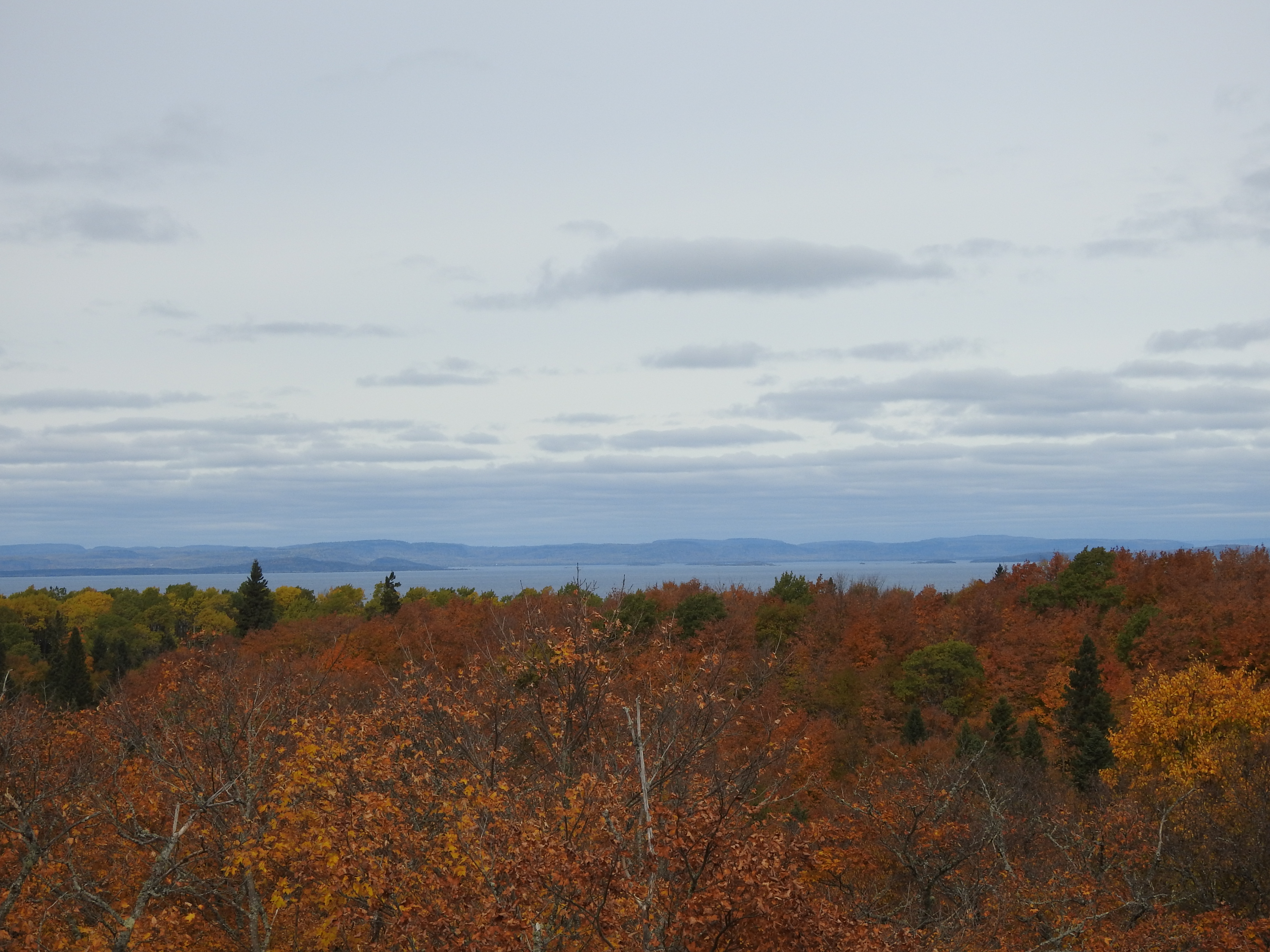
The Minong Ridge Overlook is a day hike destination on the western end of Isle Royale National Park. The overlook offers scenic views of Lake Superior, the Canadian shoreline to the north, and the western end of Isle Royale. The overlook is about three miles from Windigo located on the Minong Ridge Trail. The Minong Ridge Trail is the most challenging trail in the park. This six-mile round trip day hike travels through maple forests, over creeks, and ends on top of a rocky ridge top.
Found Nearby
Windigo Area
Huginnin Cove Campground
Washington Creek Campground
Accessibility The trail is about 18 inches wide and is not paved. The trail is covered in rocks and roots.