
Feldtmann Lake Trail
CampgroundsVisitor centersBoat launches
Along the way Windigo Feldtmann Lake Windigo Visitor Center
Trailhead Trailhead 623 ft Drive there
Hike to Grace Creek Overlook 3.6 mi round trip · the Park Service's write-up
2-4 Hours · no dogs · Spring, Summer, Fall
Start Isle Royale National Park
About this Trail
Mileage: About 3.6 miles round trip (1.8 miles from Windigo to overlook)
Rocks and roots on trail
Trailheads
Windigo
Feldtmann Lake Campground
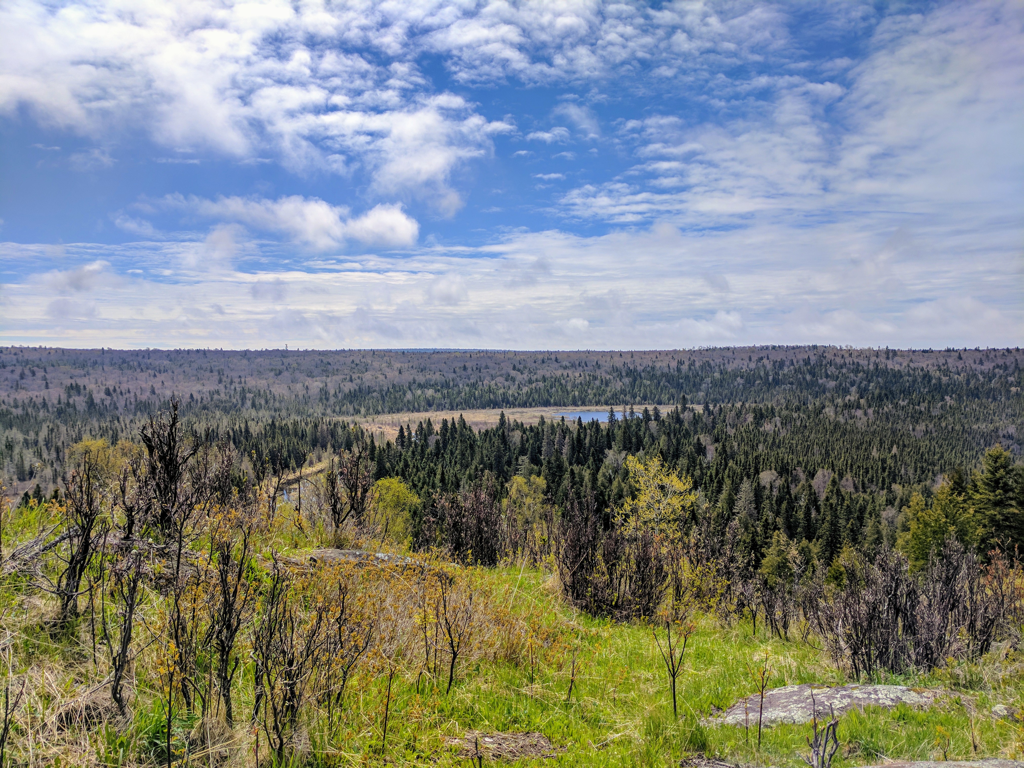
Hike to Grace Creek Overlook on the west end of Isle Royale National Park. Grace Creek Overlook offers scenic views of Grace Creek, Grace Harbor, and Lake Superior. A spur trail off of the Feldtmann Lake Trail leads to the rocky overlook. A 1.8 mile hike from Windigo over rock and root covered trails leads to the overlook. Return the way you came to complete a 3.6 mile round-trip hike.
Found Nearby
Windigo Area
Washington Creek Campground
Accessibility The trail is about 18 inches wide and is not paved. The trail is covered in rocks and roots. The beginning of the hike is along Washington Harbor. Once the hike turns inland, the trail begins to steepen.