
Daisy Farm Trail
Hike the Daisy Farm Trail 5.1 mi · the Park Service's write-up
1-3 Hours · no dogs · Spring, Summer, Fall
Start Daisy Farm Trail at Isle Royale National Park
About this Trail
Mileage: About 1.7 miles
Changing trail conditions require a map, compass, and navigation skills
Overgrown vegetation near trail
Trailheads
Daisy Farm
Via Rock Harbor Trail, private boat, Voyageur II passenger ferry, rental boat from Rock Harbor Lodge , or water taxi from Rock Harbor Lodge .
Reservations for the ferry, rental boat, and taxi are needed in advance.
Rock Harbor
Windigo via the Greenstone Ridge Trail
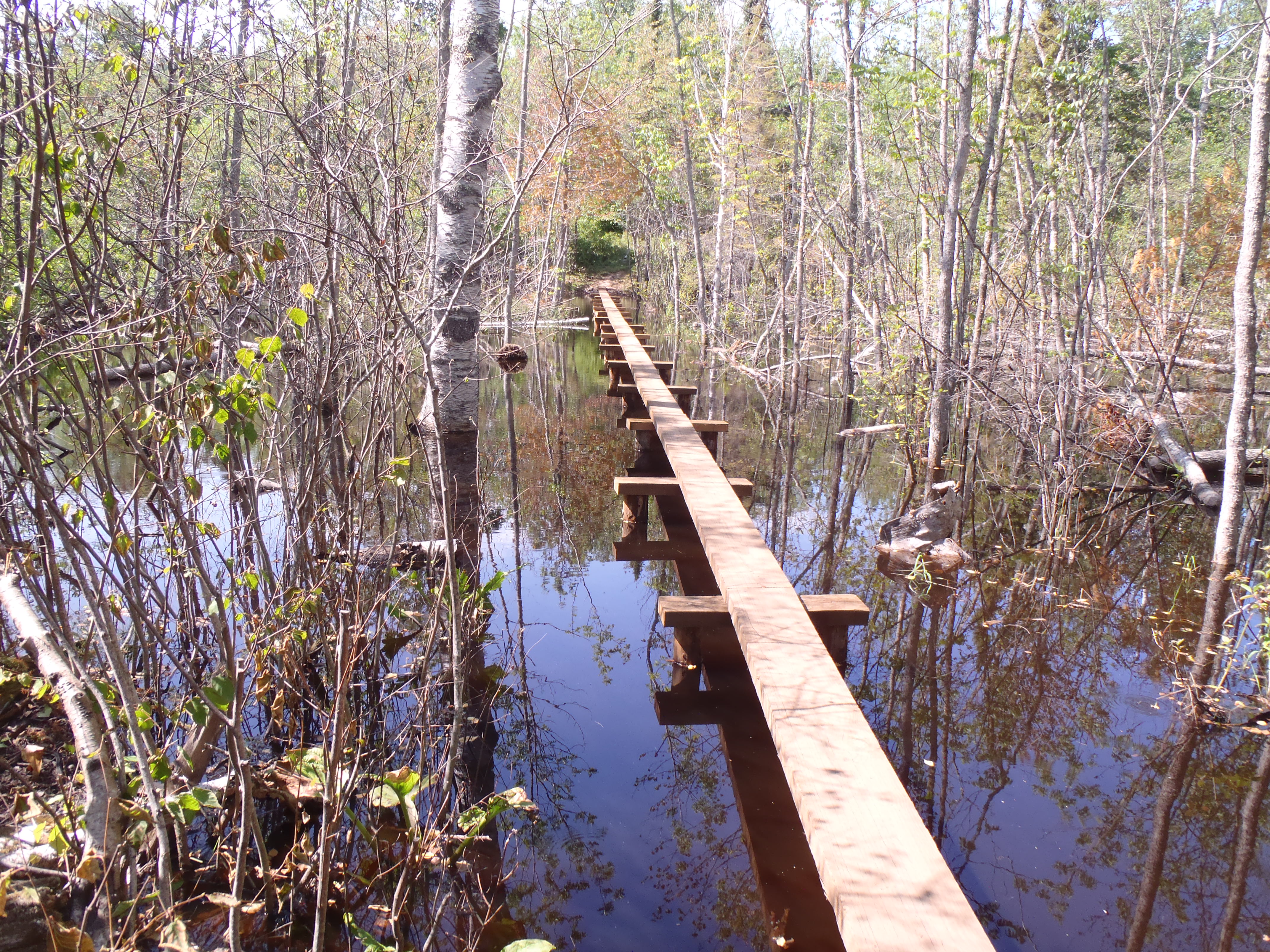
The Daisy Farm Trail connects Daisy Farm Campground to the Greenstone Ridge Trail to the north. There is a decent gradient up to the ridge top with rewarding views of the eastern side of Isle Royale. This trail includes lengthy boardwalk bridges that are slippery when wet. Beaver activity in this area can cause flooding to the trail.
Adventure for the Day
Rent a vessel from the Rock Harbor Lodge , dock at the Daisy Farm Dock, and day hike near Daisy Farm. Hike the Daisy Farm Triangle (about 5.1 miles total) which includes the Daisy Farm Trail, Mount Ojibway Trail, and a section of the Greenstone Ridge Trail. Make sure to bring day hiking essentials.
Found Nearby
Daisy Farm Campground
Three Mile Campground
East Chickenbone Campground
Lane Cove Campground
Accessibility The trail is 18 inches wide and covered in rocks and roots.
Hike the Mount Ojibway Trail 5.1 mi · the Park Service's write-up
1-3 Hours · no dogs · Spring, Summer, Fall
Start Mount Ojibway Trail at Isle Royale National Park
About this Trail
Mileage: About 1.7 miles
Rocks and roots on trail
Changing trail conditions require a map, compass, and navigation skills
Trailheads
Rock Harbor
Daisy Farm
Via Rock Harbor Trail, private boat, rental boat, water taxi, or Voyageur II passenger ferry
Reservations are needed in advanced for a rental boat, water taxi, or Voyageur II
Windigo via Greenstone Ridge Trail
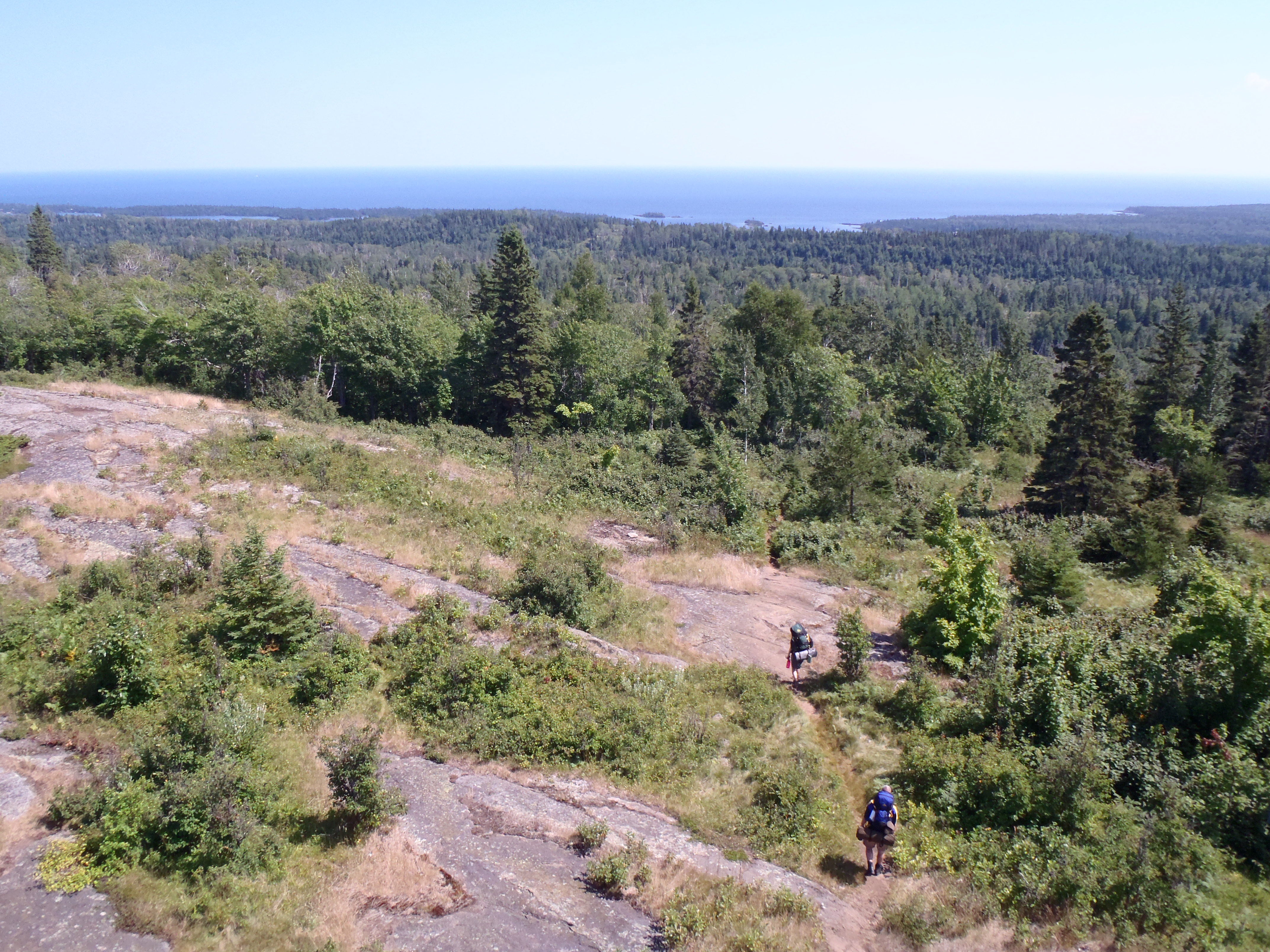
The Mount Ojibway Trail connects Daisy Farm Campground to Mount Ojibway, located on the Greenstone Ridge. The trail steeply ascends to the Greenstone Ridge. The Ojibway Tower sits on Mount Ojibway. Hikers can climb part way up the tower and enjoy scenic views of the island's eastern end on a clear day.
Adventure for the Day
Rent a vessel from the Rock Harbor Lodge , dock at the Daisy Farm Dock, and day hike near Daisy Farm. Hike the Daisy Farm Triangle (about 5.1 miles total) which includes the Daisy Farm Trail, Mount Ojibway Trail, and a section of the Greenstone Ridge Trail. Make sure to bring day hiking essentials.
Found Nearby
Daisy Farm Campground
Ojibway Tower
Mount Ojibway
Mount Franklin
East Chickenbone Campground
Lane Cove Campground
Moskey Basin Campground
Three Mile Campground
Accessibility The trail is about 18 inches wide and is covered in rocks and roots.