
National Historical Park · Ohio
Trails in Hopewell Culture National Historical Park
2 named trails · 4 miles · 2 with the Park Service's own write-up. The lines, trailheads and points are the Park Service's; the write-ups are the Service's own words; the climbing is read from USGS elevation along each line.
2 trails, A to Z.
Interrpretive Trail
Hiking & Exploring Hopewell Mound Group the Park Service's write-up
45-180 Minutes · dogs allowed
Start Hopewell Mound Group
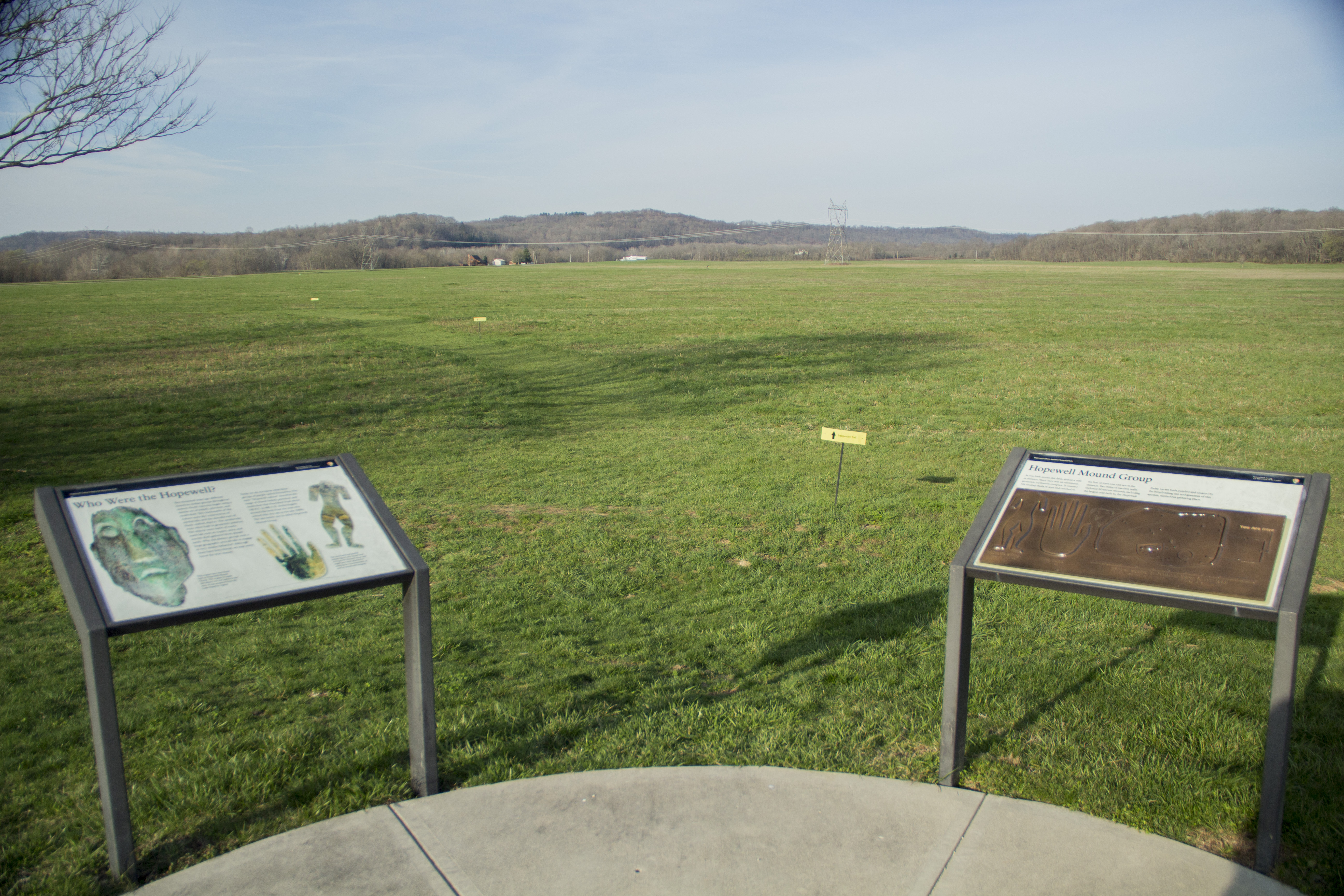
Hopewell Mound Group is the type-site of the Hopewell culture. It was once home to the largest Hopewell mound ever constructed. Today, it is one of the park's six sites and contains trails for visitors to enjoy. A walk on the trail into the forested area brings visitors to the remnants of a part of the original earthen wall. Open during daylight hours, the trail is about 2.5 miles long with a few changes in elevation. A bike path also runs alongside the complex.
Accessibility Hopewell Mound Group: No visitor services building on site, small restroom facility available at parking area. Parking: Two spaces available, closest to restroom facility. Trails: Paved from parking lot area, flat surface. One paved sidewalk which ends about 250 feet from parking area. Remainder of trails covered with mulch, pebbled dirt or grass. Elevation gain on northeast portion of perimeter trail. Slight elevation changes on north-side of perimeter trail. Narrow, wooden bridge crossing low-lying stream on north-northwest portion of perimeter trail. Restrooms: Men's and Women's both wheelchair accessible. No pay phones Picnic shelter: Open-air, covered shelter provided on the south-side of parking area. Paved sidewalk from parking area to shelter entrance. Handicap accessible shelter with regular and wheelchair-friendly picnic tables.
4 more mapped segments without a name are on the map, not in the list.
About these trails
The lines are the National Park Service's public trails layer, the trailheads and the waterfalls, views, peaks and historic places along them the Service's public points of interest, read 2026-10-14 and simplified for the map. The write-ups are the Service's own "things to do", unedited. Heights come from USGS 3DEP through Terrain Tiles on AWS (Mapzen/Tilezen), read along each line and rounded; a short trail on steep ground can be off by a few tens of feet. Closures change: check the park's own site before you go.