
Emigrant Trail
Trailheads Emigrant Trail - Horsepack Spur Trailhead 3,479 ft Drive there · Emigrant Trail Trailhead 3,477 ft Drive there · Emigrant Trail Trailhead 2,920 ft Drive there · Oregon Trail Overlook Trail Trailhead 3,472 ft Drive there
Hike the Emigrant Trail the Park Service's write-up
no dogs
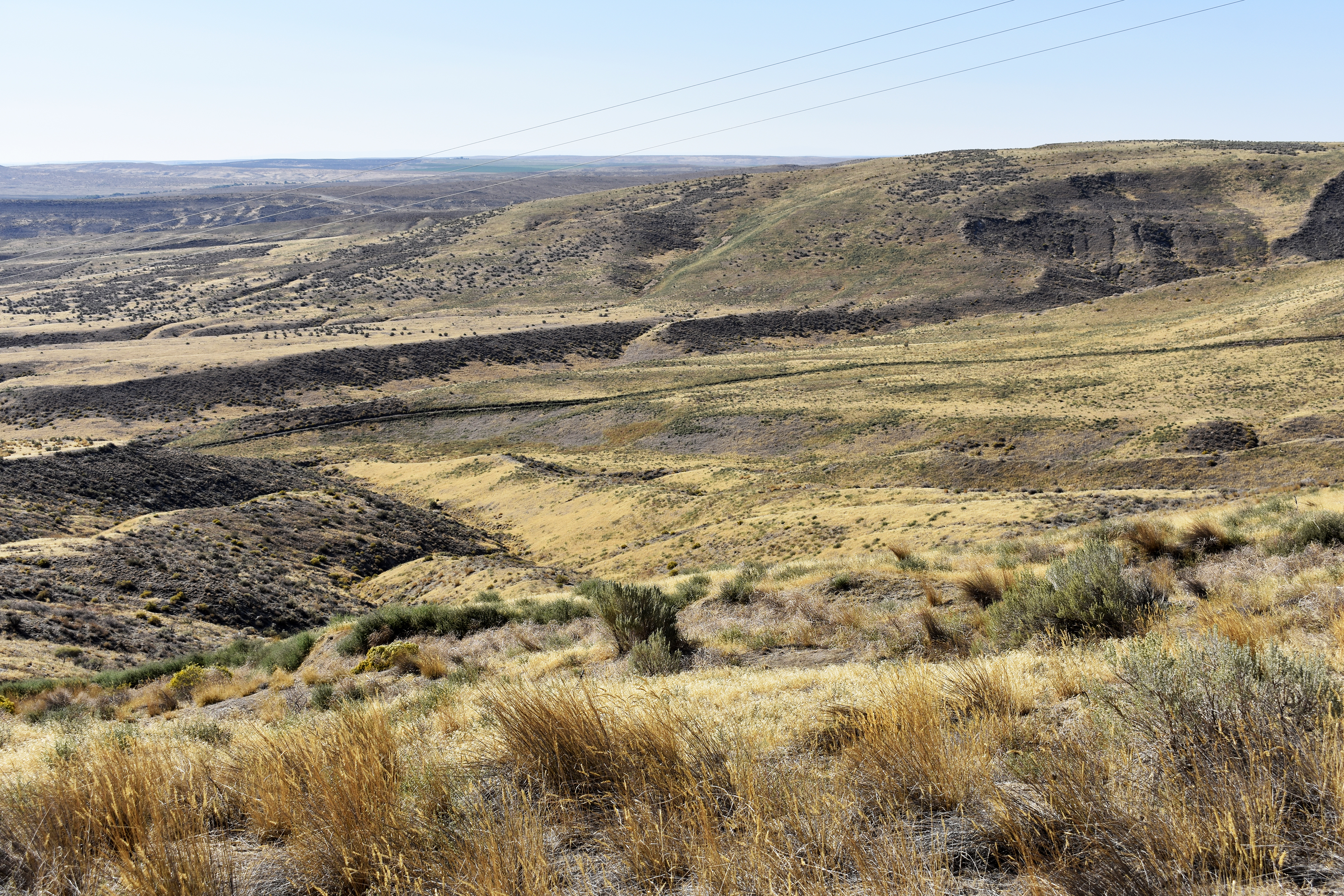
In the mid-1800s, the Hagerman Valley offered a place of respite for emigrants making the grueling journey westward on the Oregon Trail. Today, visitors can find visible wagon ruts along the park road and the Oregon Trail Overlook. The Emigrant Trail is a maintained hiking trail that roughly parallels the old wagon route.
Hikers can travel out and back, or drop a vehicle at one trailhead for a one-way journey. Begin hiking at the Snake River Overlook to hike primarily uphill, or begin at the Oregon Trail Overlook for a more downhill journey.
Trail Length: 3.25 mi (5.25 km) one way
Cumulative Elevation Change: 560 ft (171 m)
Safety and Regulations:
Dogs are not allowed on any hiking trails within the monument.
Carry and drink plenty of water. Drinking water is available only at the Thousand Springs Visitor Center during regular operating hours.
Wear sun protection. There is no shade along this trail.
Check the weather forecast and dress in layers. Hot temperatures and high winds are common much of the year.
Stay on trail. For your safety and for the protection of sensitive resources, off-trail travel is prohibited.
Wildlife, including rattlesnakes and ticks, may be present.
Leave what you find. Do not collect rocks, fossils, or other natural objects.
Conditions vary by season. The trail may be snowy or muddy in winter and early spring.
Directions:
From the Thousand Springs Visitor Center, turn left (South) onto Highway 30. Follow the highway for about 5 miles (8 km), passing through the town of Hagerman. Just after the bridge over the river, turn right (West) onto Bell Rapids Road. Drive 2.5 (4 km) miles on Bell Rapids Road to reach the Snake River Overlook. Follow the road an additional 2.5 miles (4km) to reach the Oregon Trail Overlook.
Pets Leashed pets are allowed on the park road and on paved walkways. Pets are not permitted on trails or inside the visitor center. Service dogs trained to assist visitors with disabilities may go wherever visitors are allowed.
Accessibility Trail Length: 3.25 mi (5.25 km) one way Cumulative Elevation Change: 560 ft (171 m) Elevation Gain: 600 ft (183 m) Elevation Loss: 40 ft (12 m) Typical Grade: 4.2% Maximum Grade: 21% Typical Cross Slope: 4.6% Typical Tread Width: 4 ft (1.2 m) Obstructions: loose rocks, anthills, animal burrows, vegetation Trail Surface: Packed soil, hard-packed gravel Conditions may have changed since trails were assessed.