
West Prong Trail
HistoryBackcountry camps
Along the way #18 West Prong Walkers Valley Cemetery
Trailhead West Prong Trail Trailhead 1,362 ft Drive there
Hike West Prong Trail 5.4 mi round trip · the Park Service's write-up
no dogs · entrance fee applies
Overview
West Prong Trail is a 2.7-mile (4.3 km) horse and hiking trail that climbs nearly 1,000ft from Tremont Road near the Great Smoky Mountains Institute at Tremont to provide hiking connections between Tremont, Elkmont, and Cades Cove trails. Seasonal wildflowers and wildlife such as deer, black bears, and invasive wild hogs are popular sights on this trail. For hikers interested in exploring the settlement history of Cades Cove, mile 0.3 presents a fork, where hikers can travel 100 yards to Walker Valley Cemetery, the serene resting place of several residents of the area from the late 1800s and early 1900s. Hikers that opt for this route may retrace their footsteps or follow an unmaintained trail that reconnects with West Prong Trail at mile 1.1.
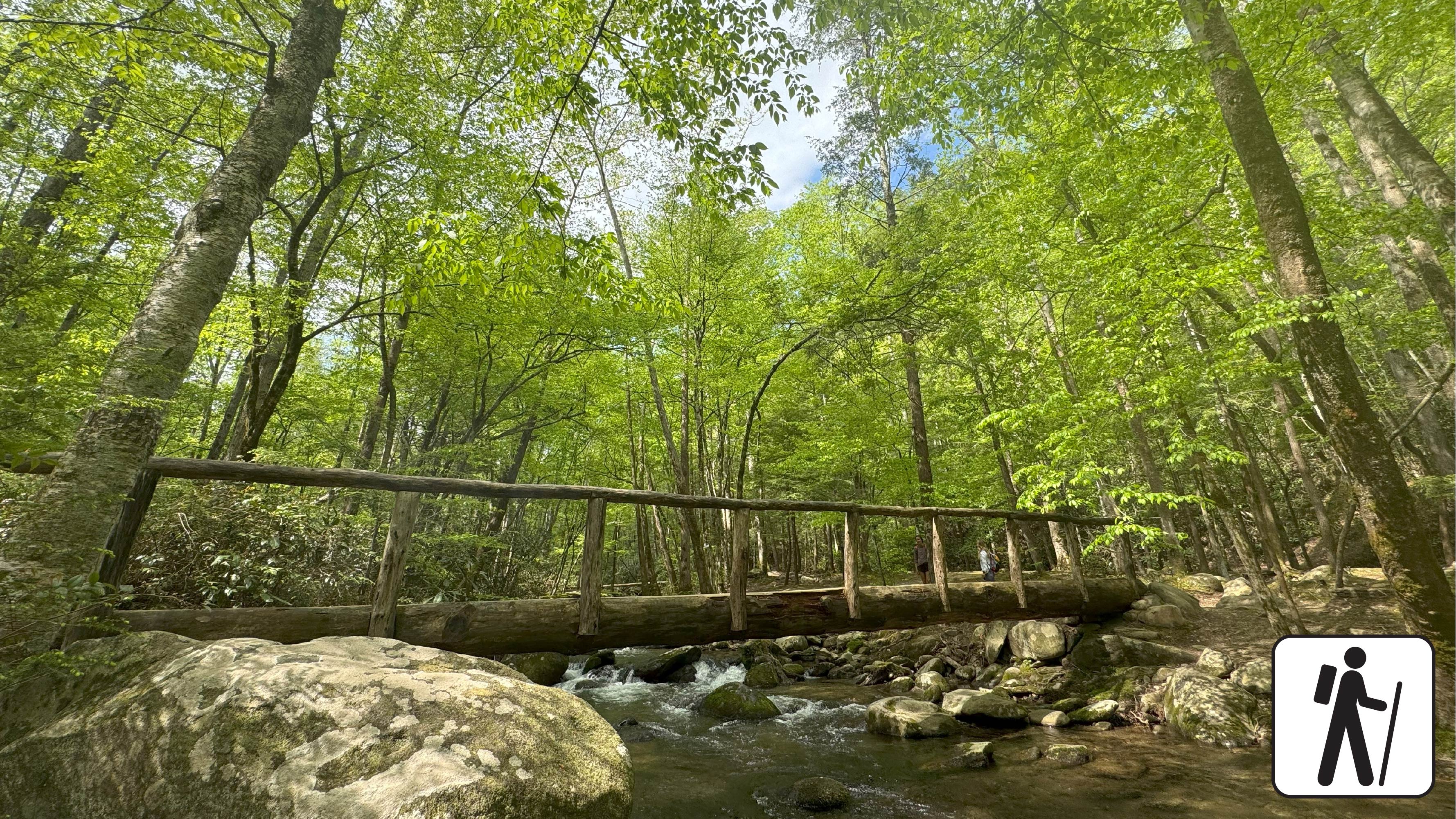
West Prong Trail continues to scale the side of Fodderstack Mountain to take hikers through hardwood forests with pines, sourwoods, and chestnut trees. West Prong Little River sings from below. Campsite #18 at mile 2.1 is a large group camping spot with a fire ring and bear cables along the river. The trail continues through the campsite, across the foot log bridge to the right, and to the left at the hemlock tree. Hikers that reach a sign for campsite A have traveled too far into the campsite and should turn around to locate the trail.
The West Prong Trail ends at mile 2.7 at the junction with Bote Mountain Trail.
Mile 0.3: Fork that offers a 100-yard spur trail to Walker Valley Cemetery to the right as West Prong Trail continues to the left. Hikers that go right can reconnect with West Prong Trail at mile 1.1 by following the unmaintained trail, or they can reconnect with West Prong Trail by following their footsteps back to the fork.
Mile 2.0: The trail crosses a creek that is traversable with a rock-hop.
Mile 2.1: Large group camping area with fire ring, bear cables, and access to West Prong Little River
Mile 2.7: The trail ends at the junction with Bote Mountain Trail. Hikers return the way they came along West Prong Trail to the trailhead.
Length
2.7 miles (4.3 km) to junction with Bote Mountain Trail
5.4 miles (8.7 km) roundtrip
Parking & Trailhead
The trailhead and parking area are located across from the entrance to the Great Smoky Mountains Institute at Tremont. From the parking lot, there is a pump house uphill to the left. The trail starts behind the pump house. Surplus parking and large-vehicle parking is available to the left just past the main parking area. Don't forget your parking tag .
Nearest Restroom
Smokemont Campground
Alternate Hikes
Smokemont Loop Trail with Bradley Cemetery: 6 miles (9.66 km) roundtrip
Pets The Gatlinburg Trail and Oconaluftee River Trail are the only two park trails where pets are permitted. Pets are also allowed in picnic areas, in campgrounds, and on roads.
Accessibility Accessible parking spaces are available at the trailhead. This trail is soil and includes occasional rocks, roots, water crossings, log footbridge crossings and moderately steep grades.