
Twentymile Trail
WaterfallsBackcountry campsGapsRanger stations
Along the way #93 Twentymile Creek Proctor Field Gap Sassafras Gap 20 Mile Ranger Station Twentymile Creek Cascade
Trailhead Twentymile Trail Trailhead 1,318 ft Drive there
Hike to Twentymile Cascade 1.2 mi round trip · the Park Service's write-up
no dogs · entrance fee applies
Overview
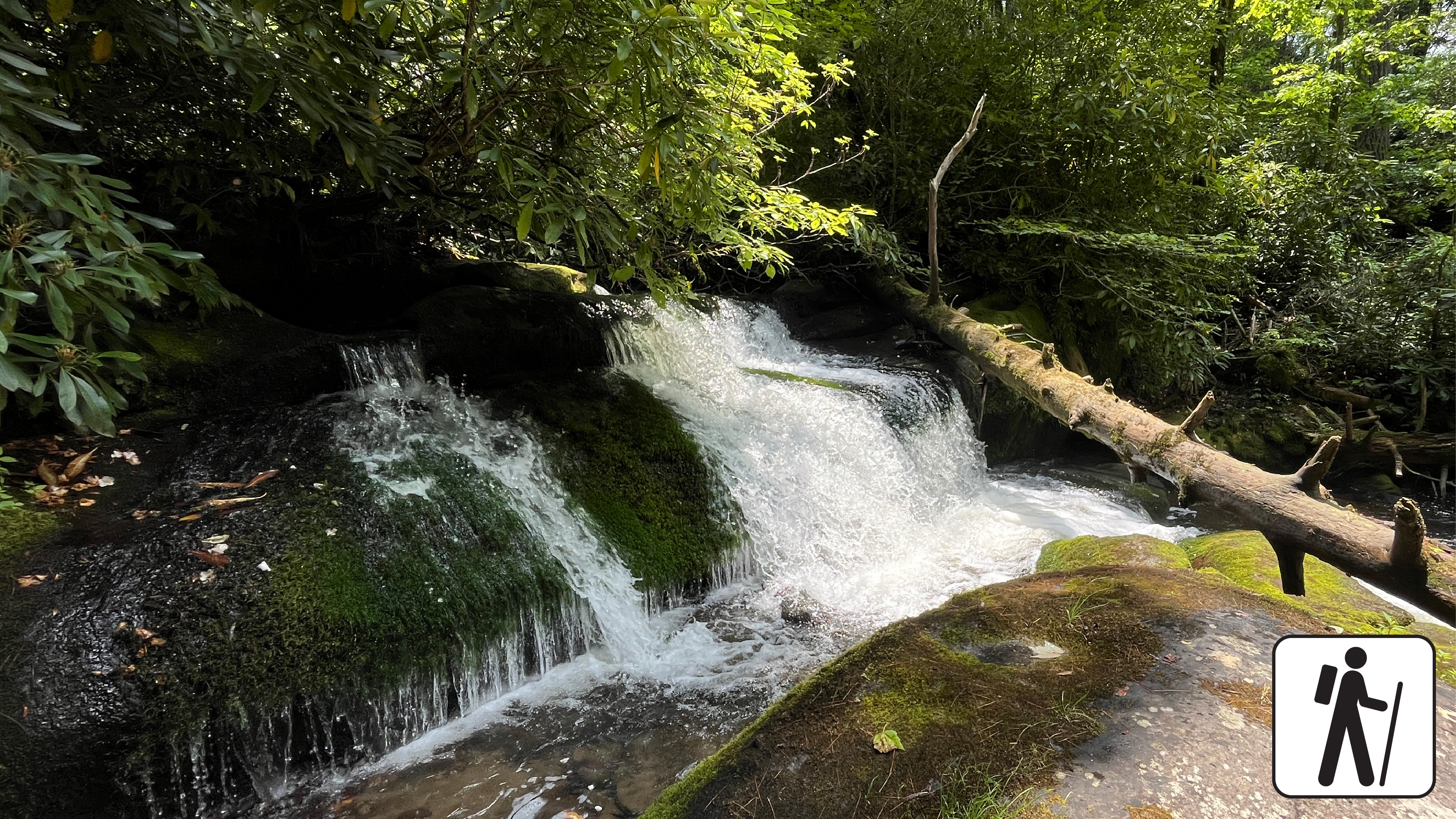
Hike 1.2 miles (1.9 km) roundtrip along a wide gravel roadbed that follows a mountain stream to a cascade surrounded by moss-covered rocks and mixed hardwood forest in Great Smoky Mountains National Park .
After a half-mile walk along Twentymile Trail to the first junction, take Wolf Ridge Trail one hundred yards from the first bridge and look to your right for a foot trail that leads to the Twentymile Cascade.
If you're up for more, you can continue on Wolf Ridge Trail to the Twentymile Loop Trail for a longer 7.6-mile (12.2-km) loop through one of the more remote areas of the Smokies known for its picturesque streams and shady hardwood forest. This longer loop includes narrower sections of trail with some muddy and rocky areas. Twentymile Trail is wider with fewer ups and downs than Wolf Ridge.
Length
1.2 miles (1.9 km) roundtrip
Parking & Trailhead
Twentymile Trailhead at the end of the road just beyond Twentymile Ranger Station. Don't forget your parking tag .
Nearest Restroom
Facilities near Deep Creek or outside the park before arriving
Alternate Hikes
Goldmine Loop Trail : 4 miles (6.4 km) roundtrip
Pets The Gatlinburg Trail and Oconaluftee River Trail are the only two park trails where pets are permitted. Pets are also allowed in picnic areas, in campgrounds, and on roads.
Accessibility Occasional roots and rocks along the trail.