
Smokemont Nature Trail
Trailhead Smokemont Nature Trail Trailhead 2,212 ft Drive there
Hike Smokemont Nature Trail 0.62 mi round trip · the Park Service's write-up
no dogs · entrance fee applies
Overview
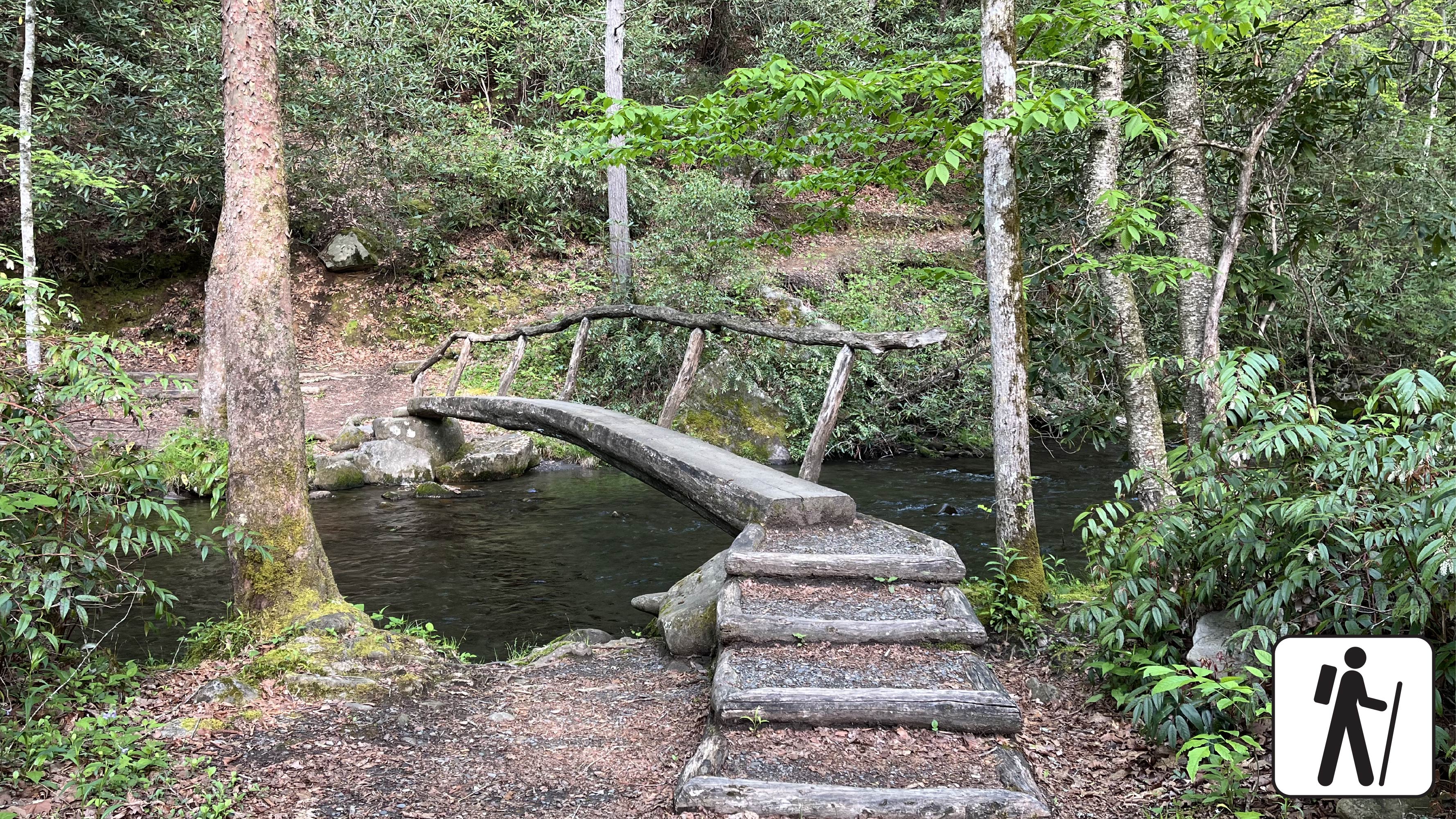
This scenic loop hike near Smokemont Campground provides a peaceful escape and views of the surrounding peaks. Hike across narrow foot log bridges over pristine Bradley Fork and enjoy wildflowers, lush trees, and bird song. Once known as Bradleytown, the Smokemont region’s history is tied to early 1900s logging and Champion Fibre Company before the establishment of the park and included barracks, stores, churches, and sawmills.
This hike is suitable for hikers of many skill levels, especially for families or hikers camping in the area looking for a short hike away from the bustle of Cherokee or Gatlinburg. This trail also has designated picnic areas near the trailhead, which are perfect for a post-hike snack or lunch.
Begin at the trailhead, located across from campsite B31 in the Smokemont Campground. The trail is marked by a sign reading “Smokemont Self-Guided Nature Trail.” Cross two small foot log bridges, then look for a sign with an arrow pointing to the right: this is the start of the loop trail.
At the start, the trail follows the Bradley Fork upstream before turning right and climbing gently to the top of the loop where one can enjoy scenic views to the east and northeast from the ridge. The trail then curves to the west side of the mountain and begins a gentle descent back to the Bradley Fork and the log bridges.
Length
0.62-mile (1 km) roundtrip
Elevation Gain
168 feet (51 meters)
Parking & Trailhead
18 parking spots for day use at the Smokemont Campground. The trailhead is located directly across from the campground at site B31. Hikers should not park in campsites. Don't forget your parking tag .
Nearest Restroom
Smokemont Campground
Alternate Hikes
Smokemont Loop Trail with Bradley Cemetery: 6 miles (9.66 km) roundtrip
Pets The Gatlinburg Trail and Oconaluftee River Trail are the only two park trails where pets are permitted. Pets are also allowed in picnic areas, in campgrounds, and on roads.
Accessibility No designated accessible parking spaces. The trail has two narrow foot log bridges with handrails. The trail has some steep sections and occasional roots/rocks.