
Rough Fork Trail
HistoryBackcountry campsGaps
Along the way #40 Big Hemlock Polls Gap Steve Woody House
Trailheads Hemphill Bald Trail Trailhead 5,127 ft Drive there · Rough Fork Trail Trailhead 5,128 ft Drive there · Rough Fork Trail Trailhead 2,827 ft Drive there
Hike to Steve Woody House 2 mi round trip · the Park Service's write-up
no dogs · entrance fee applies
Overview
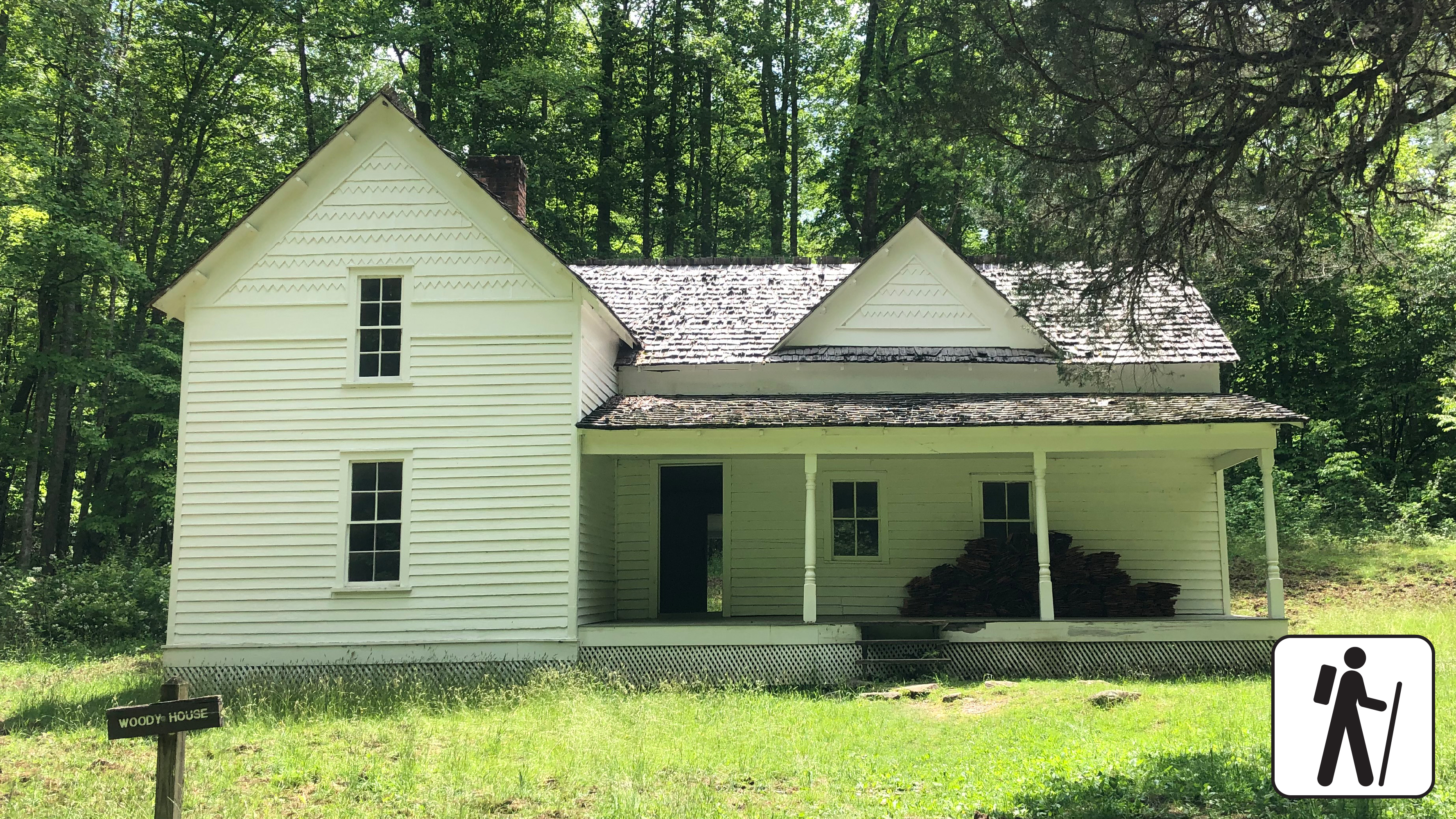
Walk 2 miles (3.2 km) roundtrip through a hardwood forest on a wide, well-graded path following a mountain stream to reach the historic Steve Woody Place in Great Smoky Mountains National Park , which was once the center of a sprawling homestead with several outbuildings.
Today, visitors can see the house surrounded by the open fields of the Cataloochee Valley, but the homesite once included a house, barn, chicken house, tool house, canning house, spring house, and wood shed.
Length
2 miles (3.2 km) roundtrip
Parking & Trailhead
Park at Rough Fork Trailhead (follow Cataloochee Road to the dead end past the campground, ranger station, Messer Barn, and Palmer Chapel to the parking area). Don't forget your parking tag .
Nearest Restroom
Cataloochee Campground (closed seasonally)
Alternate Hikes
Kephart Prong Trail : 4 miles (6.4 km) roundtrip
Little River, Cucumber Gap, Jakes Creek Loop : 5.4 miles (8.7 km) roundtrip
Pets The Gatlinburg Trail and Oconaluftee River Trail are the only two park trails where pets are permitted. Pets are also allowed in picnic areas, in campgrounds, and on roads.
Accessibility Trail is mostly flat and wide with a couple of stream crossings on narrow log bridges.