
Ramsey Cascades Trail
Waterfalls
Along the way Ramsey Cascades
Hike to Ramsey Cascades 8 mi round trip · the Park Service's write-up
no dogs · entrance fee applies
Start Expect crowds and full parking at Ramsey Cascades Trailhead—consider a shuttle
Overview
Expect extreme crowding and limited parking—consider a shuttle or alternate hikes listed below
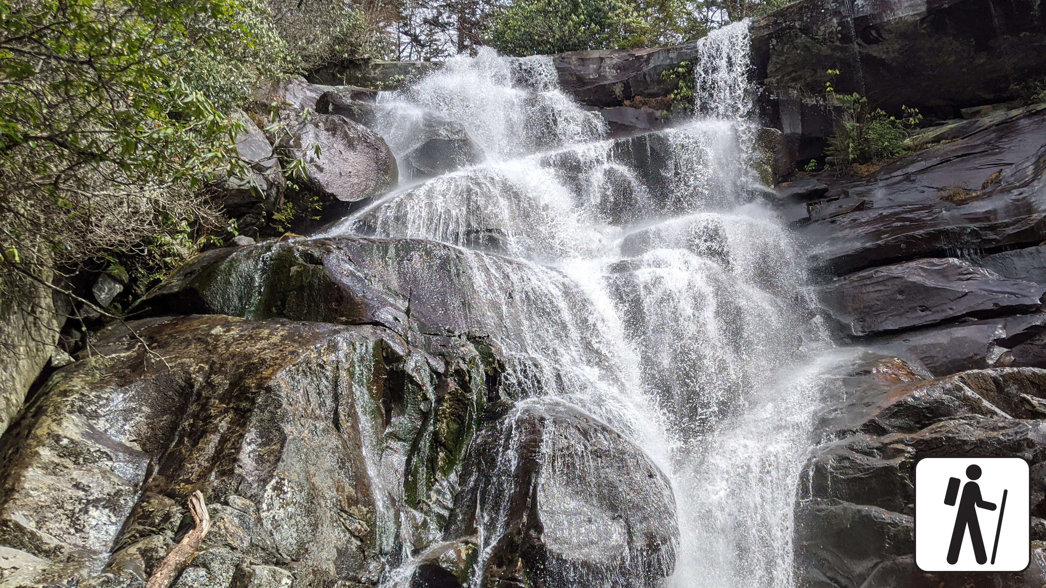
Hike 8 miles (12.9 km) roundtrip on this popular but relatively challenging trail through cove hardwood forest to see the tallest waterfall in Great Smoky Mountains National Park at 105 feet (32 m).
The trail begins on an old roadbed and passes through a cove hardwood forest but becomes narrower and rockier as it ascends more than 2,000 feet (610 m) in elevation and crosses multiple footlog bridges and streams along the way.
Do not attempt to climb to the top of the falls—it is muddy and slippery.
This trail was rehabiliated by the 'Trails Forever program' learn more here .
Length
8 miles (12.9 km) roundtrip
Parking & Trailhead
Please consider a shuttle or park at Ramsey Cascades Trailhead on Ramsey Prong Road in Greenbrier. Don't forget your parking tag .
Nearest Restroom
Greenbrier Picnic Area
Alternate Hikes
Hen Wallow Falls : 4.3 miles (6.9 km) roundtrip
Lynn Camp Prong Cascades : 1.4 miles (2.3 km) roundtrip
Pets The Gatlinburg Trail and Oconaluftee River Trail are the only two park trails where pets are permitted. Pets are also allowed in picnic areas, in campgrounds, and on roads.
Accessibility Trail has many steep sections plus roots and rocks on the trail.