
Rainbow Falls Trail
Waterfalls
Along the way Rainbow Falls
Trailhead Rainbow Falls Trail Trailhead 2,582 ft Drive there
Hike to Mount Le Conte on Rainbow Falls Trail 13 mi round trip · the Park Service's write-up
no dogs · entrance fee applies
Start Expect crowds and full parking at Rainbow Falls Trailhead—consider a shuttle
Overview
Expect extreme crowding and limited parking—consider a shuttle or alternate hikes listed below
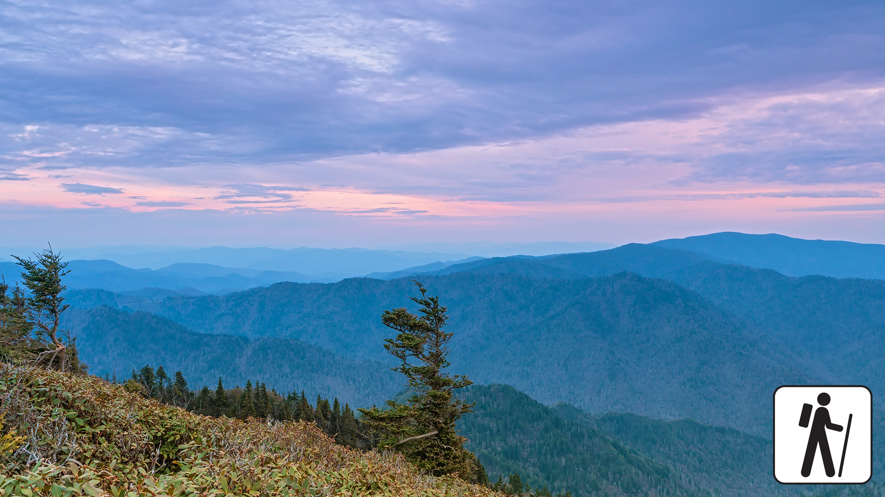
One of five routes to Mount Le Conte in Great Smoky Mountains National Park , the Rainbow Falls Trail includes a waterfall, rocky ascents, and forest views. The strenuous hike is 13 miles (20.9 km) roundtrip. Hike along a creek and across three bridges before arriving at Rainbow Falls approximately 2.2 miles (3.5 km) from the trailhead before continuing to Mount Le Conte.
Past the falls, lush forests line the trail and hikers will intersect the Bullhead Trail, Alum Cave Trail, and Trillium Gap Trail before reaching the summit (check a map for full details). Hikers are rewarded with expansive views atop Mount Le Conte—6,593 feet (2,010 m) tall. Near the summit, the best views are at Cliff Top and Myrtle Point, both marked with signs.
In cold weather, prepare for ice on the trail and potential falling icicles. Microspikes (chains or small spikes to slip on shoes for better traction) recommended in winter.
In high water conditions, consider using Bullhead Trail to Mount Le Conte .
Length
13 miles (20.9 km) roundtrip
Parking & Trailhead
Please consider a shuttle or park at Rainbow Falls Trailhead on Cherokee Orchard Road. Don't forget your parking tag .
Nearest Restroom
Rainbow Falls Trailhead
Alternate Hikes
Appalachian Trail & Boulevard Trail to Mount Le Conte : 16.2 miles (26.1 km) roundtrip
Bullhead Trail to Mount Le Conte : 13.6 miles (21.9 km) roundtrip
Trillium Gap Trail to Mount Le Conte : 13 miles (20.9 km) roundtrip
Alum Cave Trail to Mount Le Conte : 10 miles (16.1 km) roundtrip
Pets The Gatlinburg Trail and Oconaluftee River Trail are the two park trails where pets are permitted. Pets are also allowed in picnic areas, in campgrounds, and on roads.
Accessibility Trail is steep, rocky, and includes stairs.
Hike to Rainbow Falls 5.6 mi round trip · the Park Service's write-up
no dogs · entrance fee applies
Start Expect crowds and full parking at Rainbow Falls Trailhead—consider a shuttle
Overview
Expect extreme crowding and limited parking—consider a shuttle or alternate hikes listed below
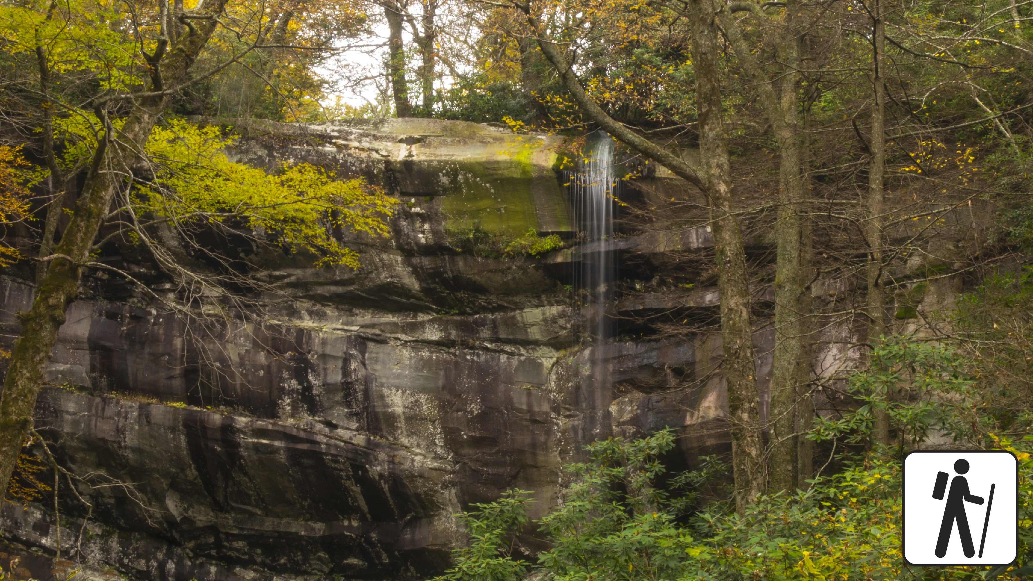
Hike 5.6 miles (9 km) roundtrip through varied forest to a popular waterfall in Great Smoky Mountains National Park named for the misty rainbow that often appears at its base on sunny afternoons.
This trail is well-traveled and maintained, but the climb to the falls is relatively steep with approximately 1,500 feet (457 m) in elevation gain from the trailhead to the falls. See some old growth trees along the trail, along with burn scars from a fire in 2016. This trail is also used to reach Mount LeConte, which is 6.7 miles (10.8 km) from the trailhead.
If taking this trail to Mount Le Conte , consider using Bullhead Trail in high water conditions; trail is often icy in winter
Length
5.6 miles (9 km) roundtrip
Parking & Trailhead
Please consider a shuttle or park at Rainbow Falls Trailhead on Cherokee Orchard Road (trailhead can be accessed from either the upper or lower lot). Don't forget your parking tag .
Nearest Restroom
Pit toilets at trailhead
Alternate Hikes
Hen Wallow Falls : 4.3 miles (6.9 km) roundtrip
Lynn Camp Prong Cascades : 1.4 miles (2.3 km) roundtrip
Finley Cane Trail to Bote Mtn Trail to Lead Cove Trail Loop : 6.9 mile (11.1 km) loop
Pets The Gatlinburg Trail and Oconaluftee River Trail are the only two park trails where pets are permitted. Pets are also allowed in picnic areas, in campgrounds, and on roads.
Accessibility Trail is very steep and rocky.